On this page you can find:
- An interactive GIS map showing known archaeological sites, survey areas, and (when zoomed in) individual survey units
- 3D photogrammetric models of the Velatouri tower, the churches of Aghia Paraskevi and Aghioi Theodoroi, and a tower and section of the curtain wall at the fortress of Eleutherai
- Some of our favorite photos from the 2014, 2015, and 2016 field seasons
Interactive Map
A note on navigating the map: Mac users may need to hold the shift key and scroll to zoom in and out. PC users should be able to zoom by scrolling normally.
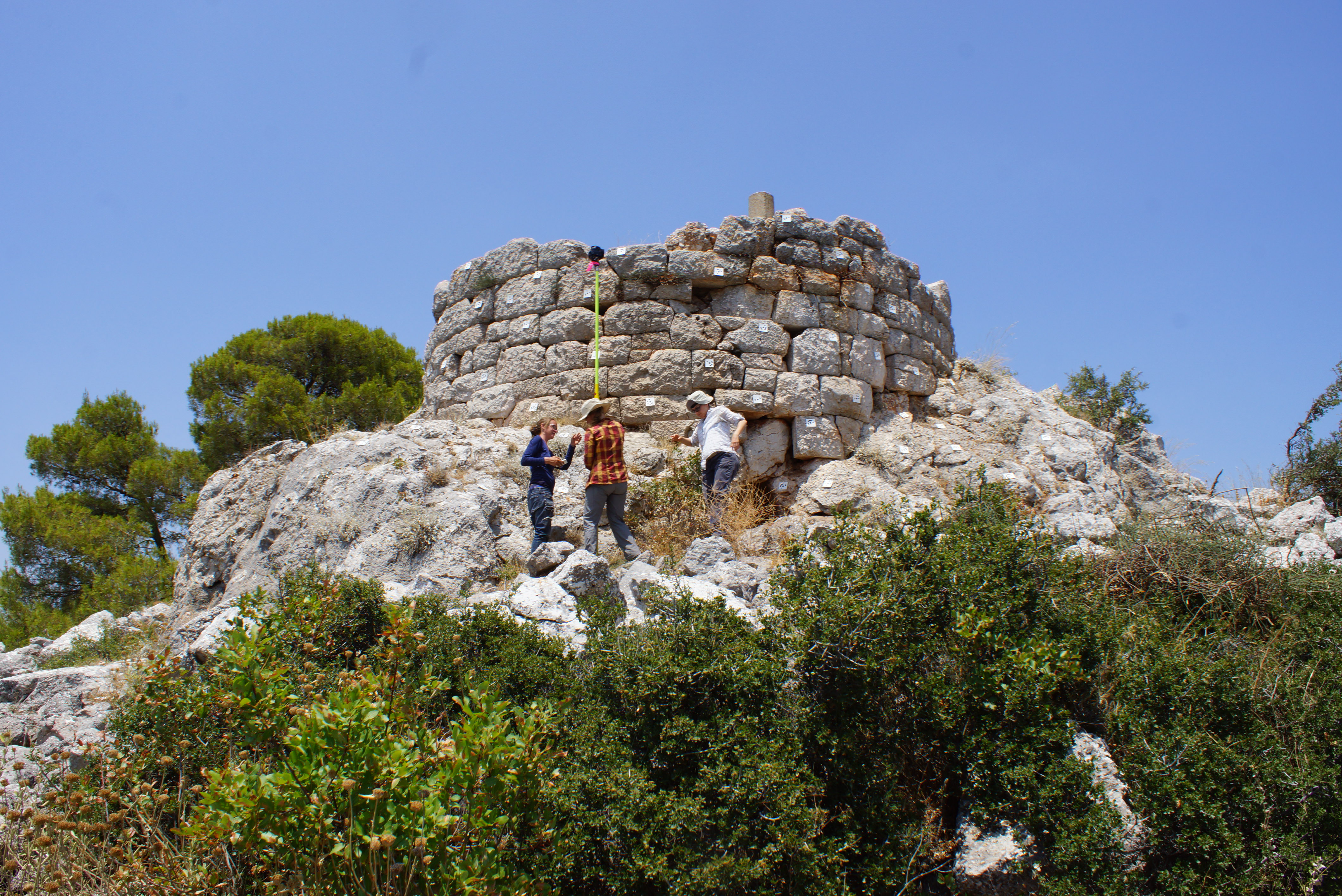
3D Model of the Velatouri Tower
3D Model of the Church of Aghia Paraskevi
3D Model of the Church of Aghioi Theodoroi
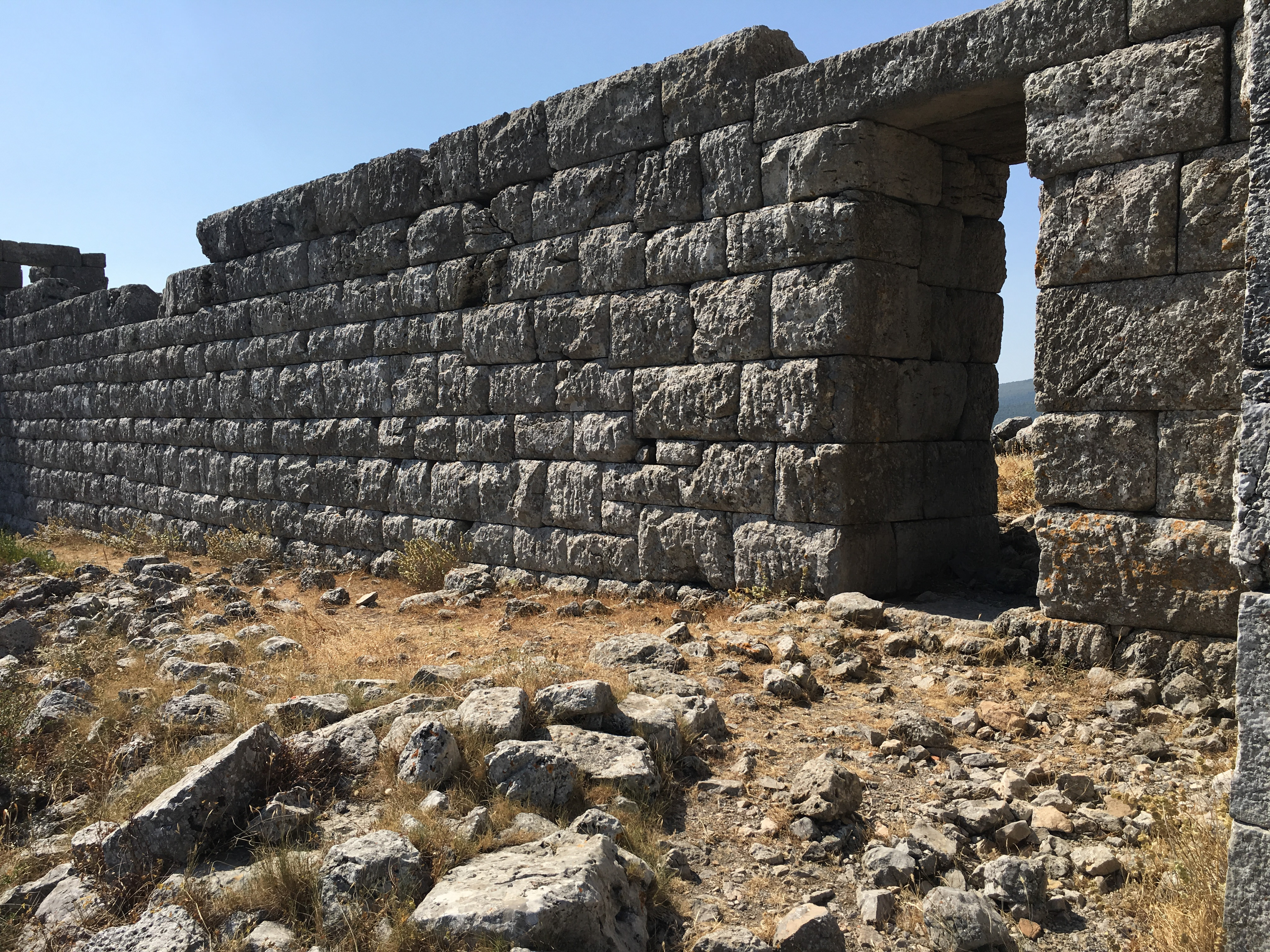
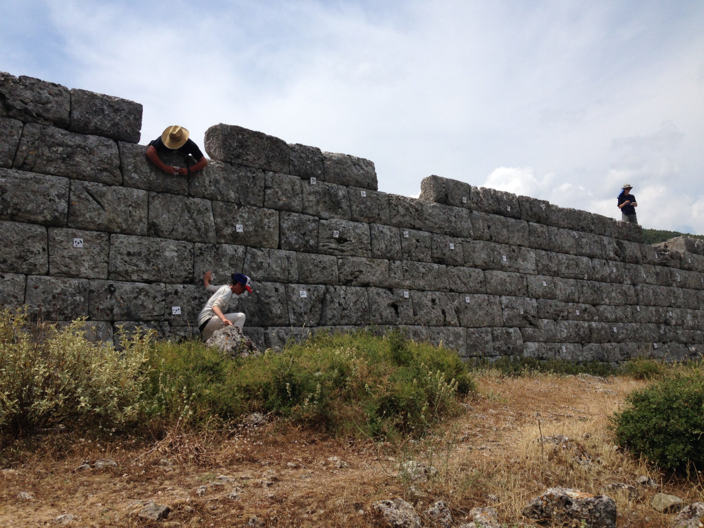
3D Model of Tower and Section of Curtain Wall at the Fortress of Eleutherai
Photos from the 2016 Field Season
Week 1
-
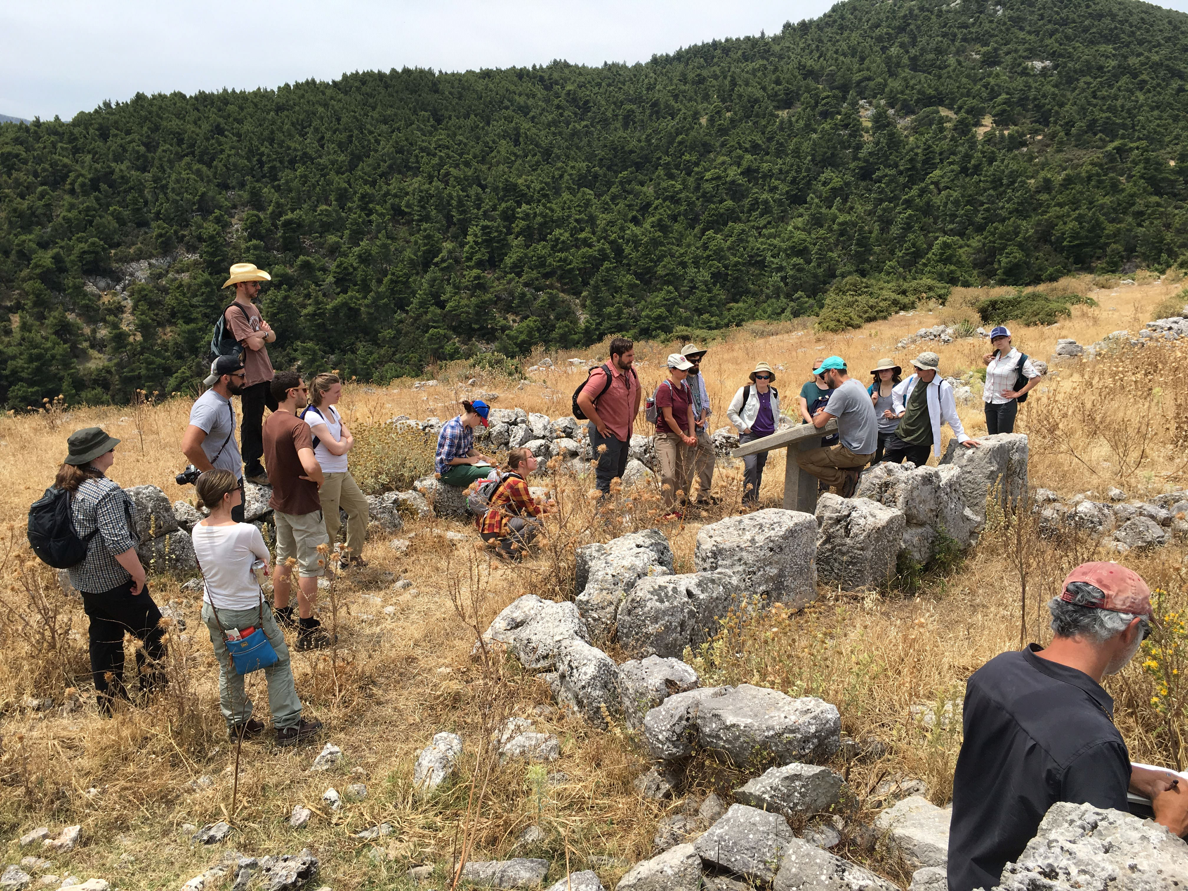
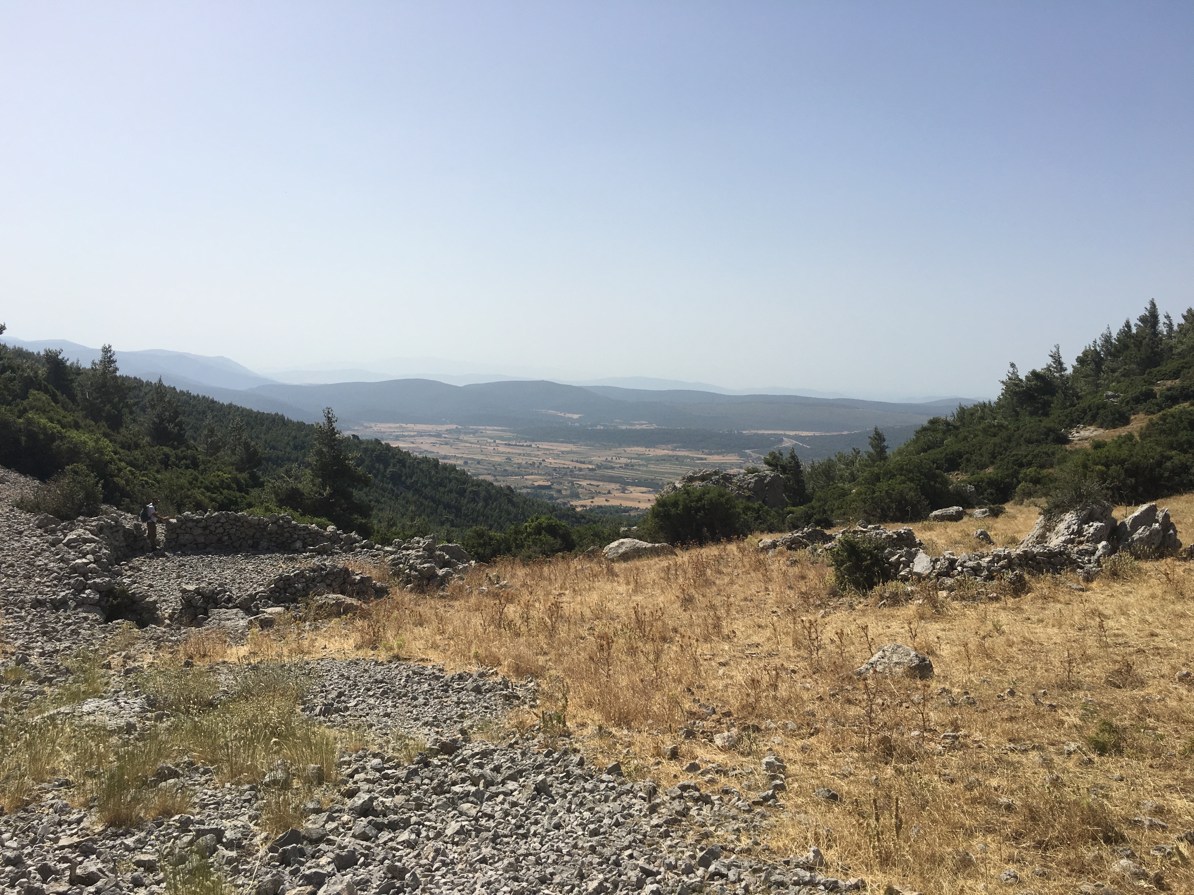
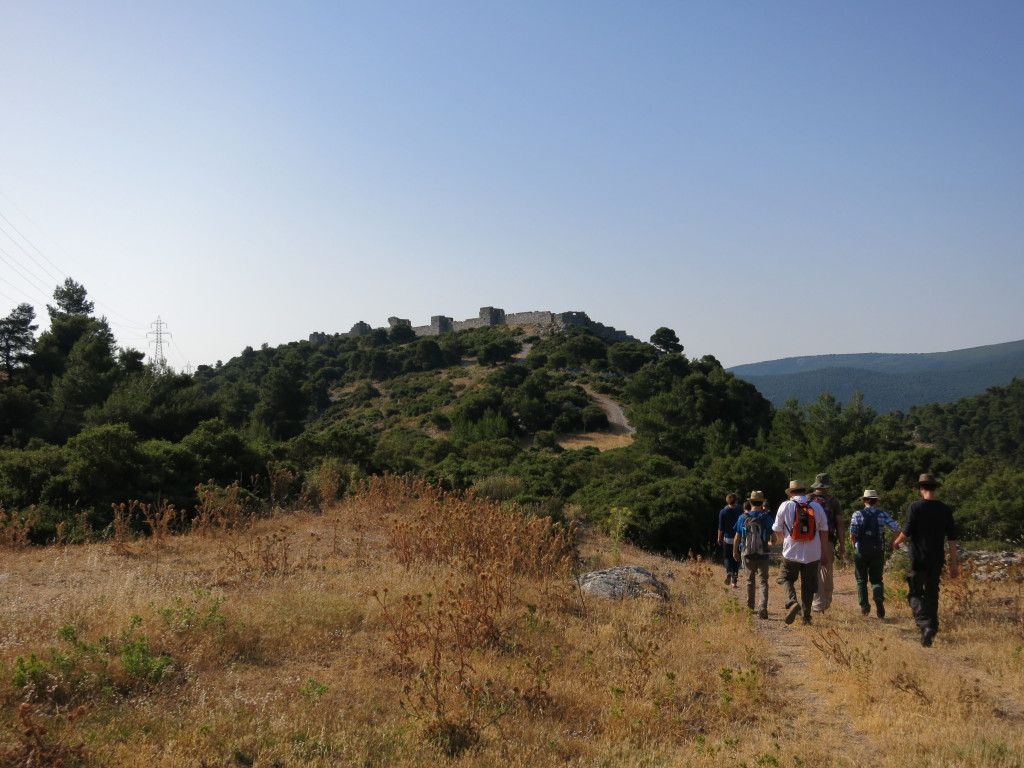
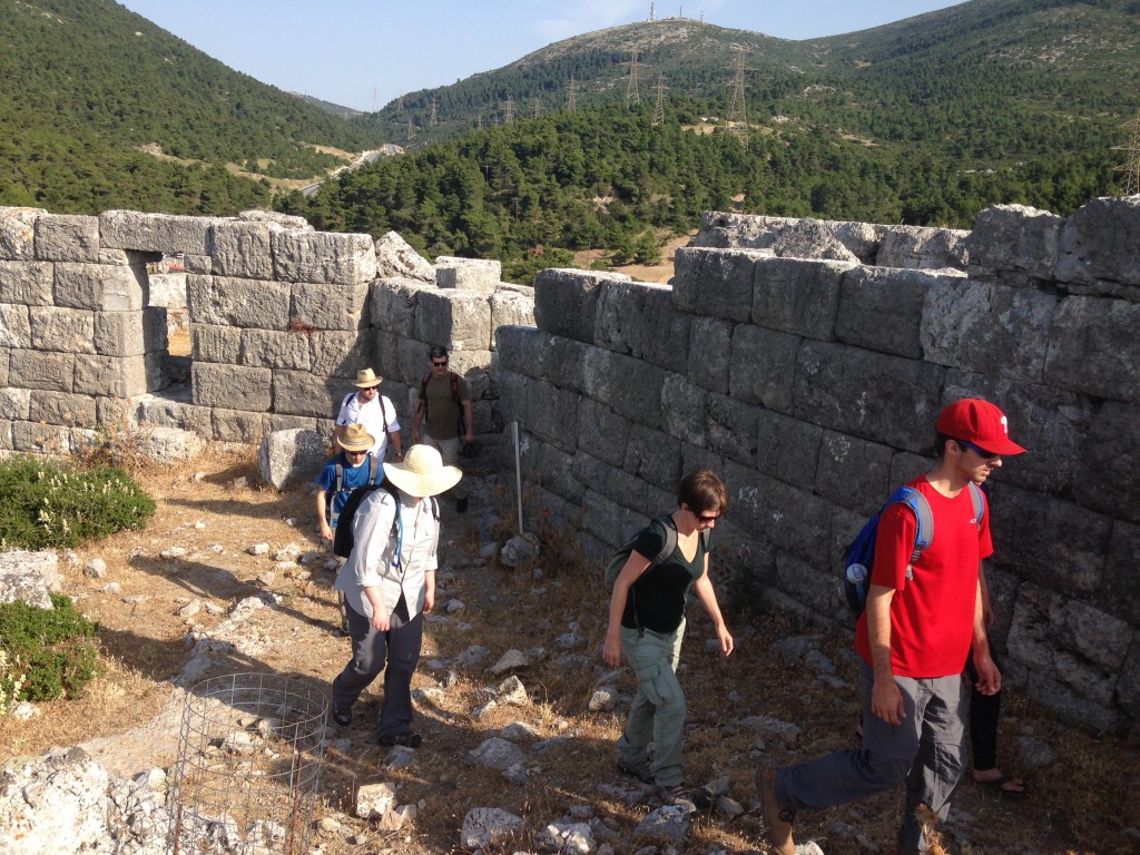
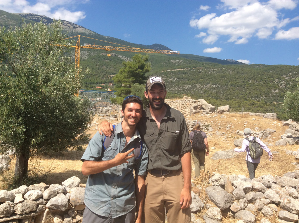
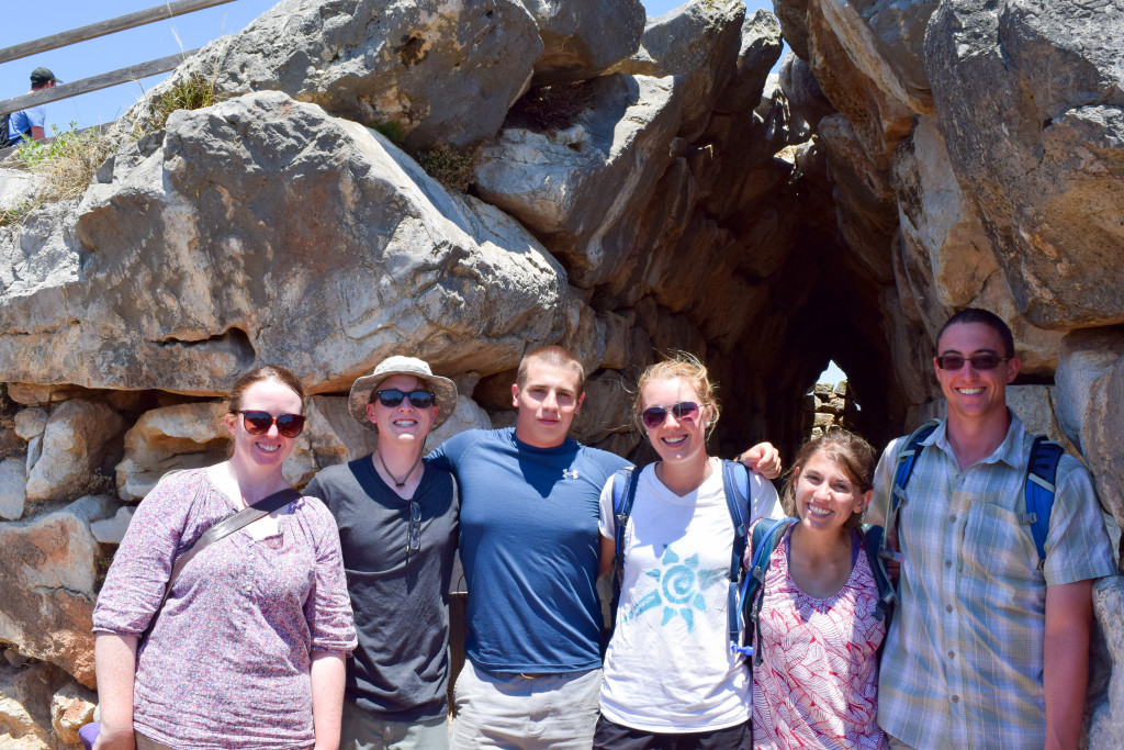
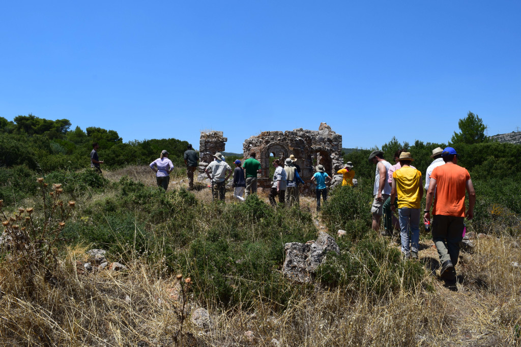
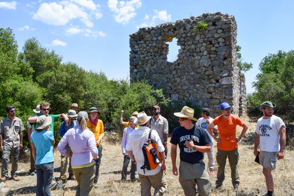
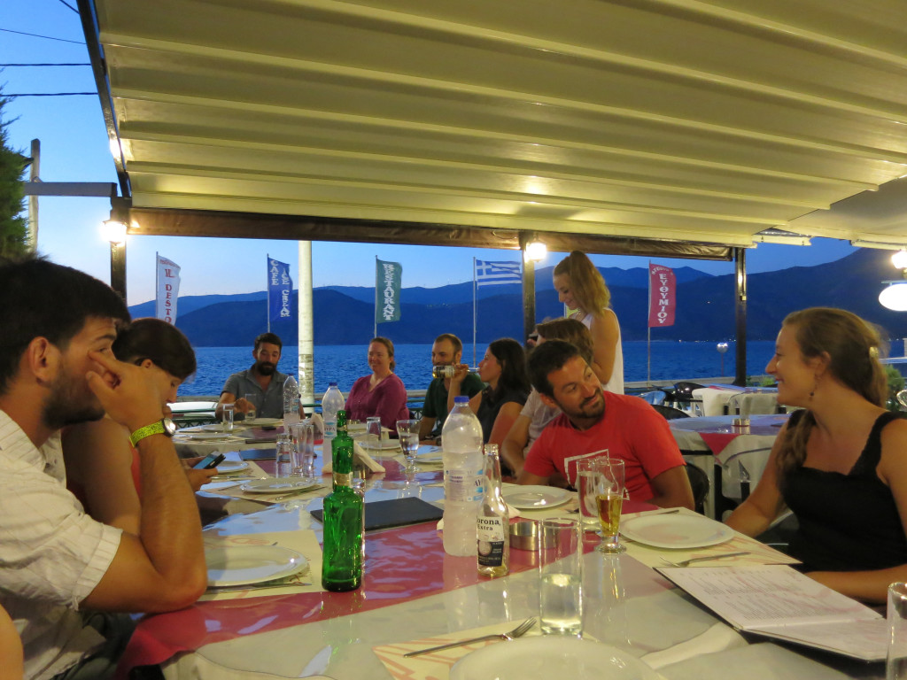
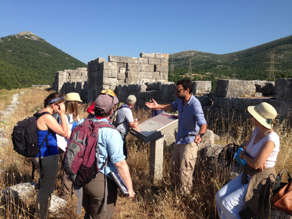
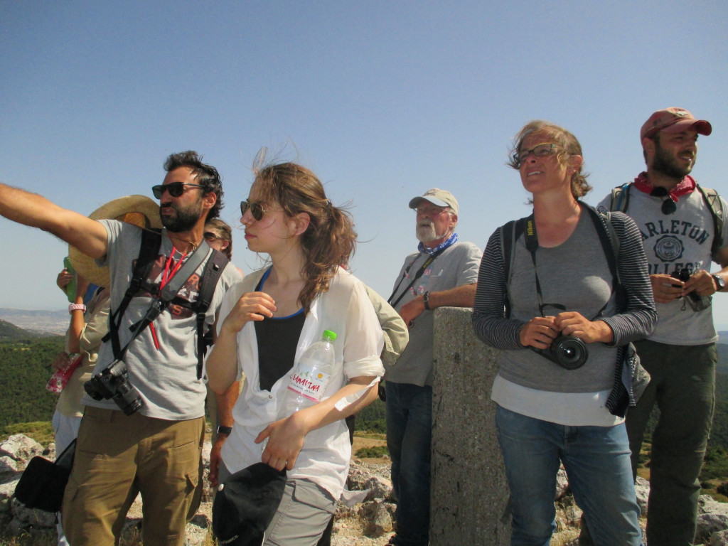
- The group taking a tour of the Fortress of Eleutherai on Day 1 of the 2016 field season
-
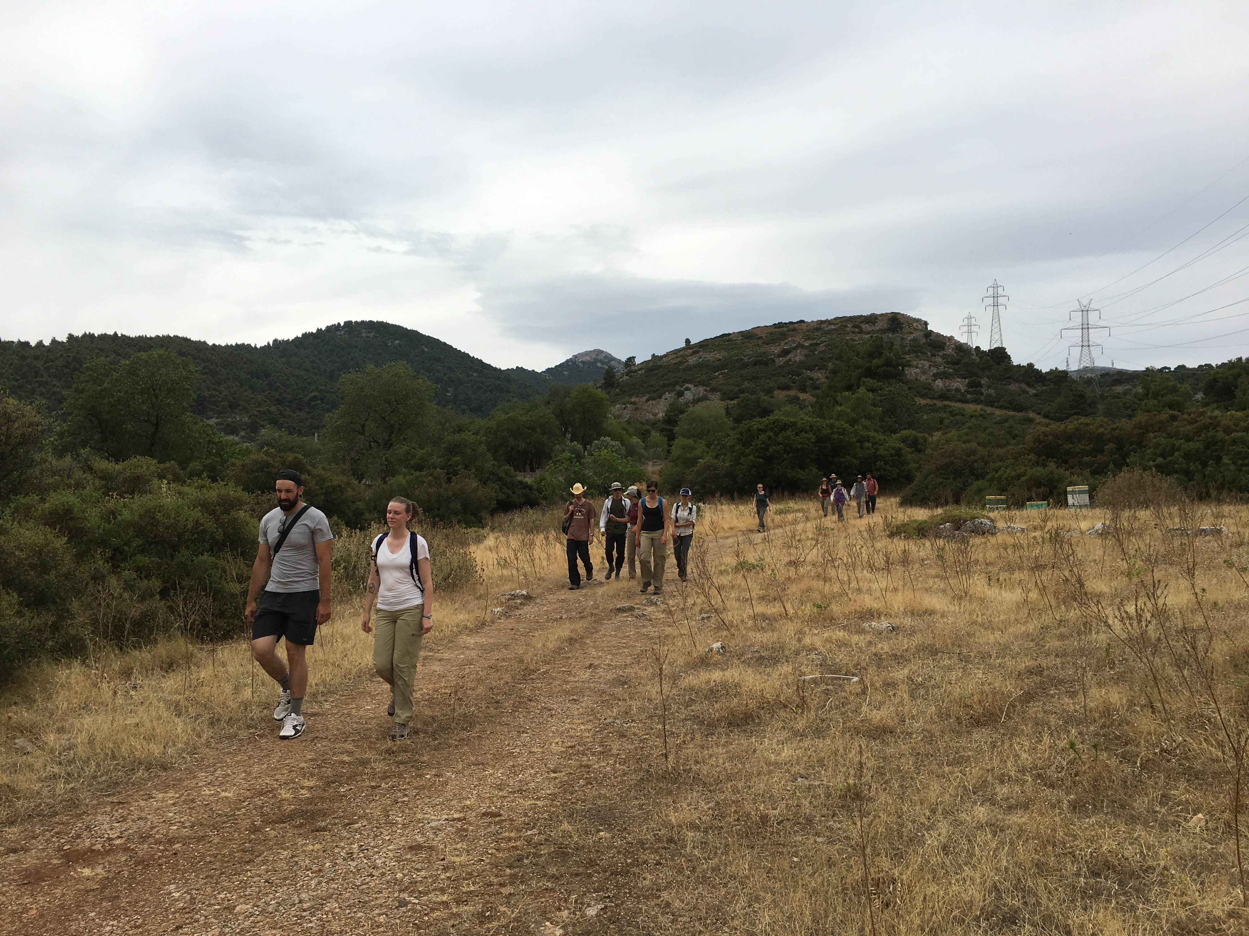
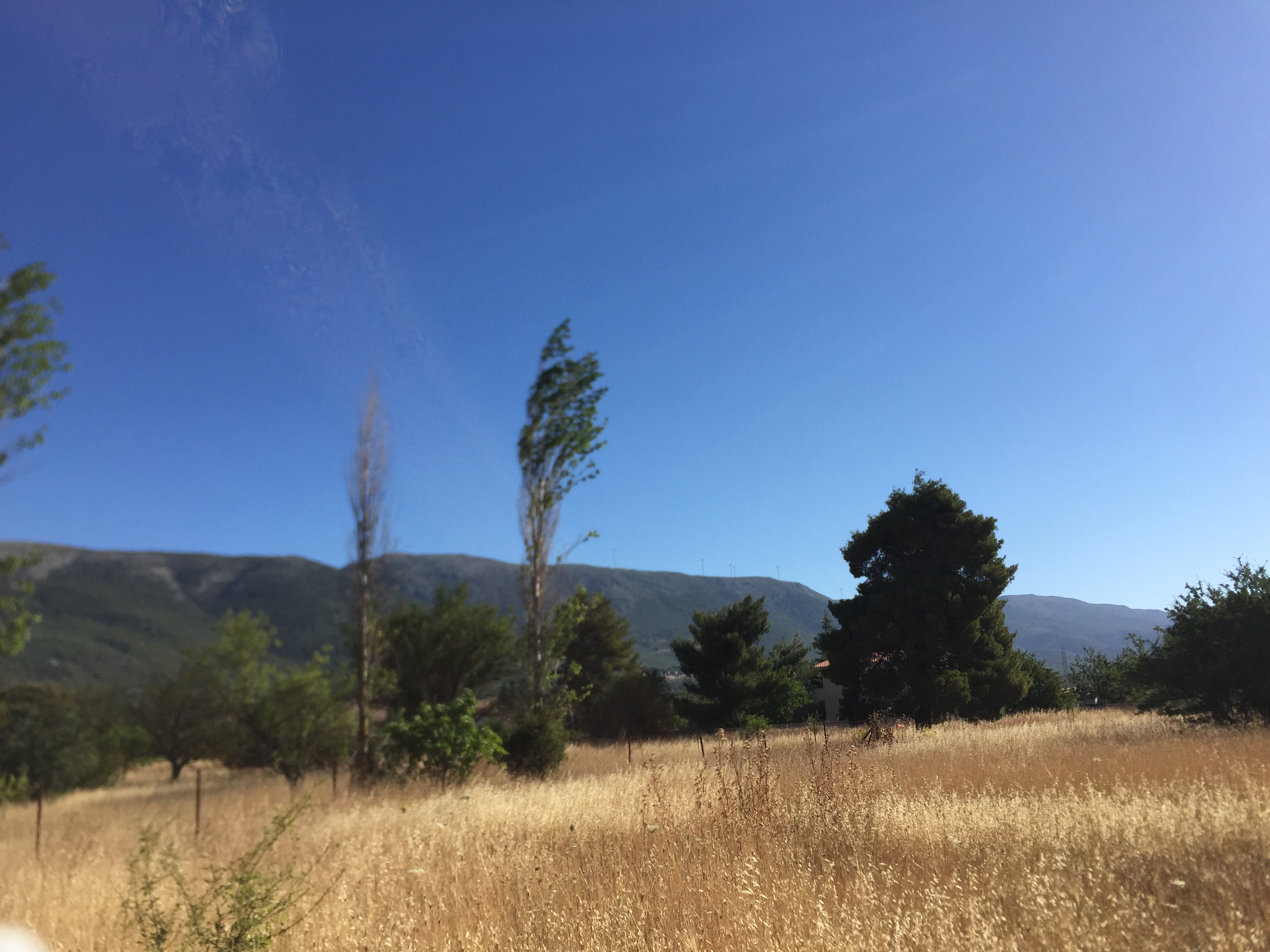
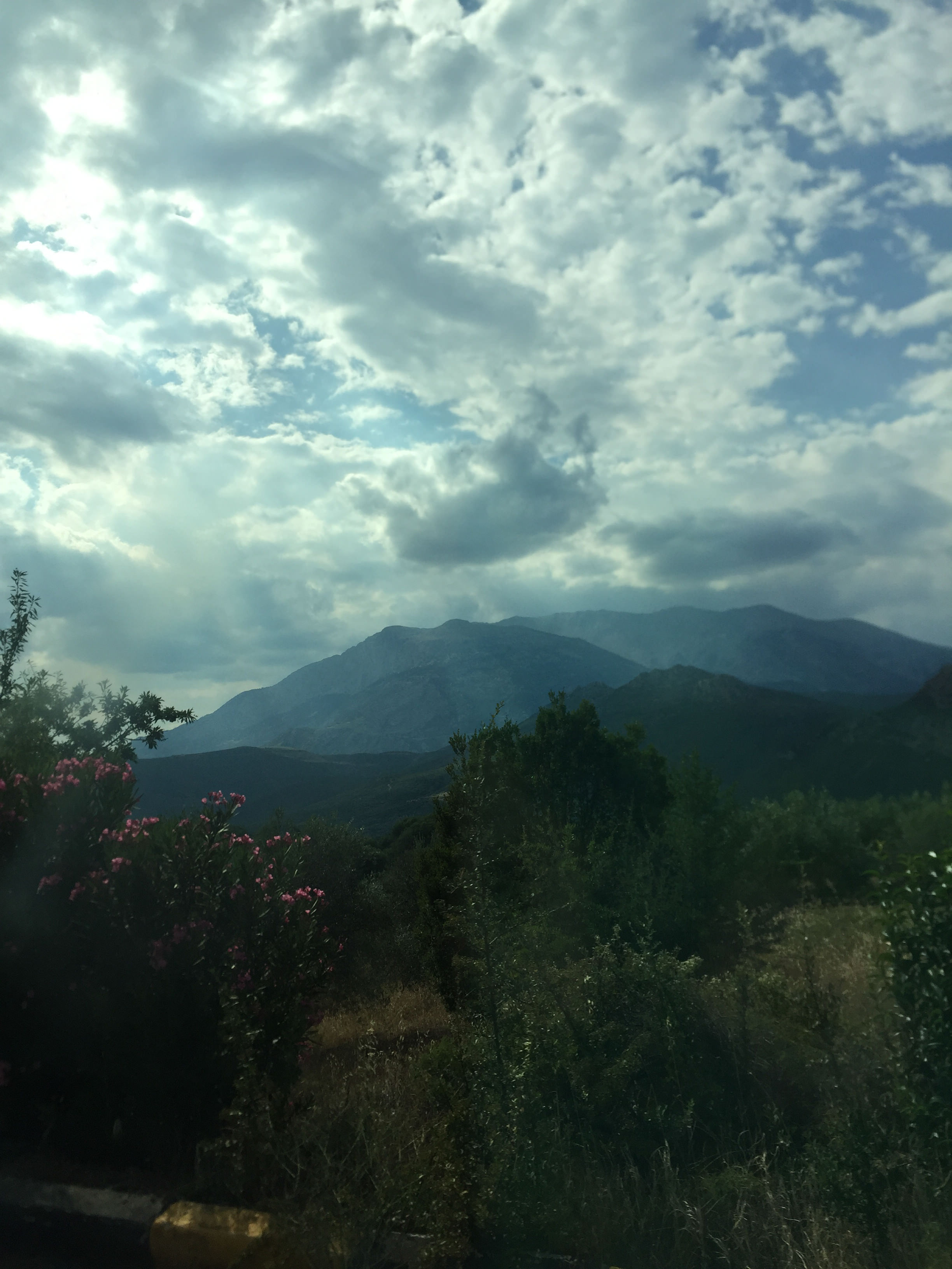
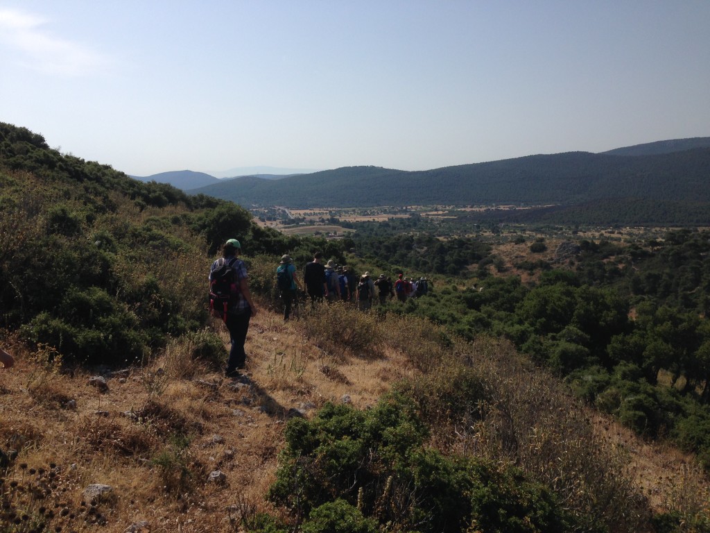
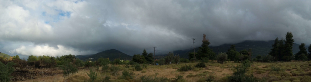
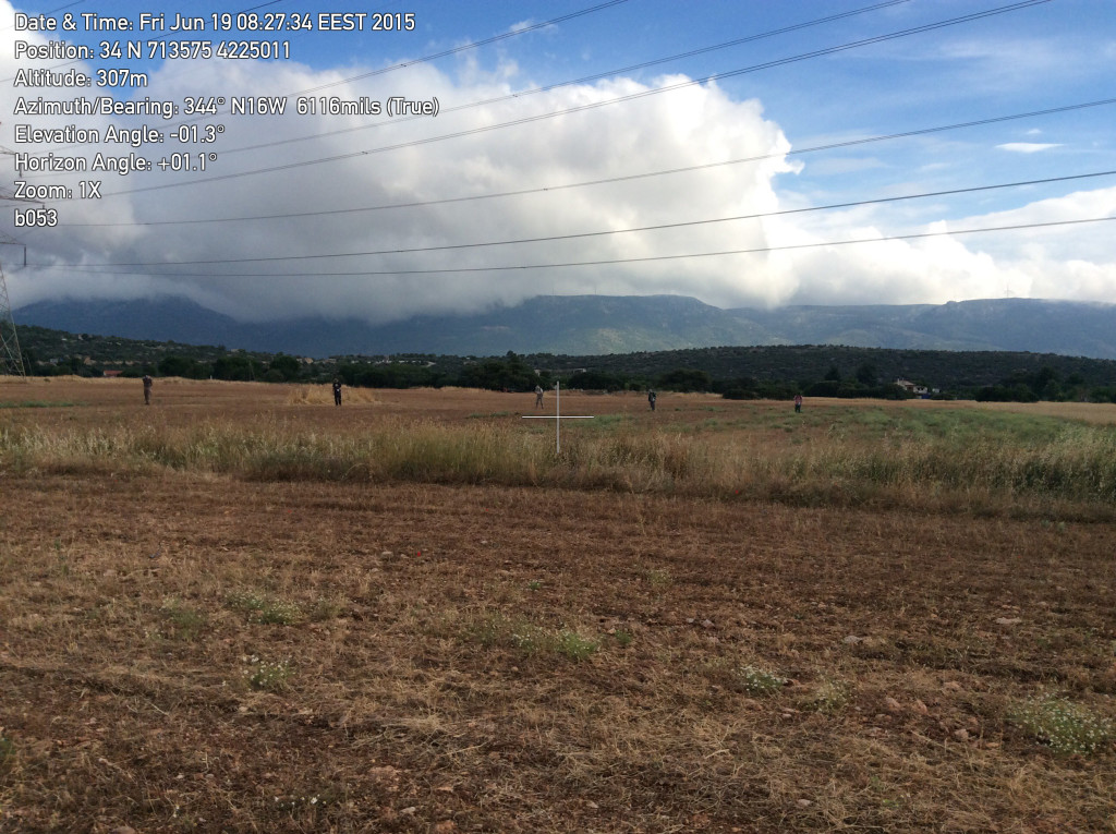
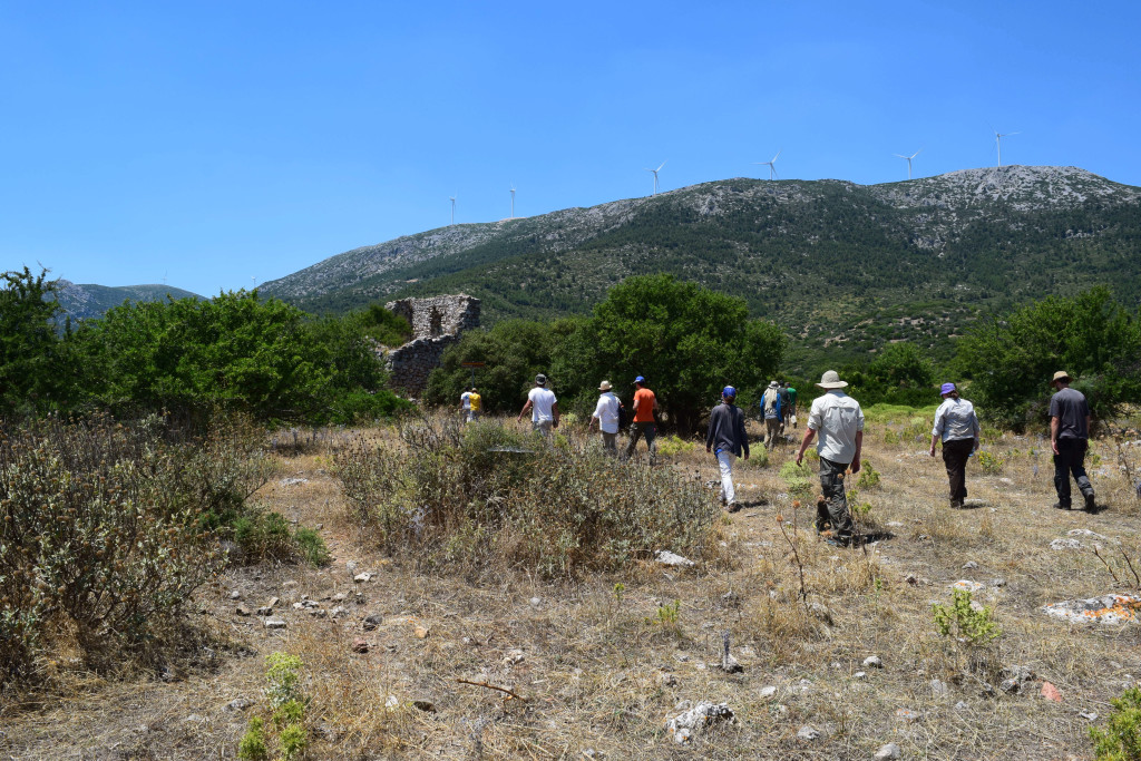
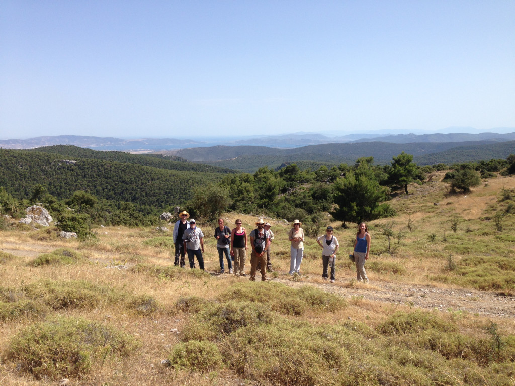
- Touring the Mazi Plain on a cloudy day
-
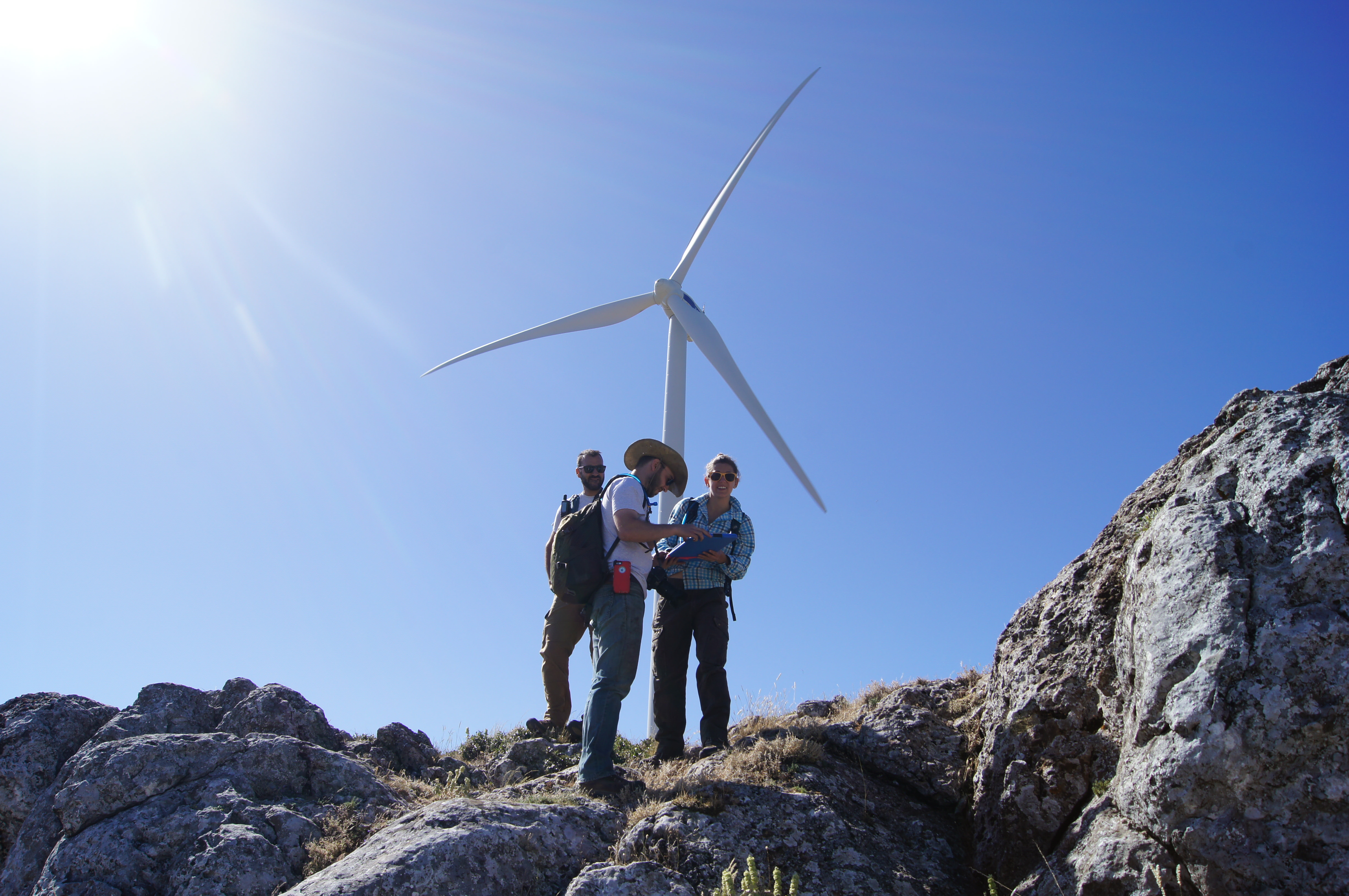
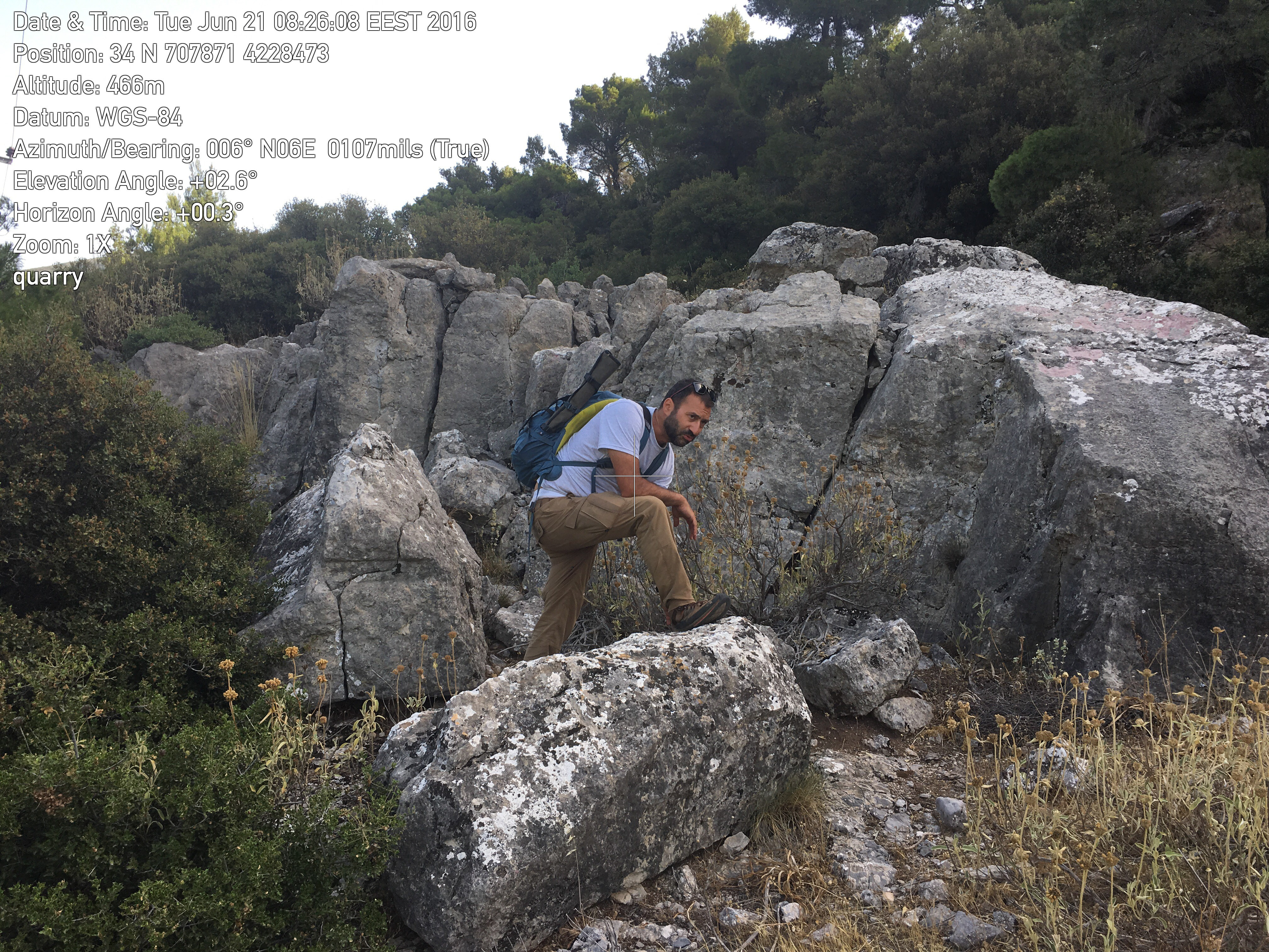
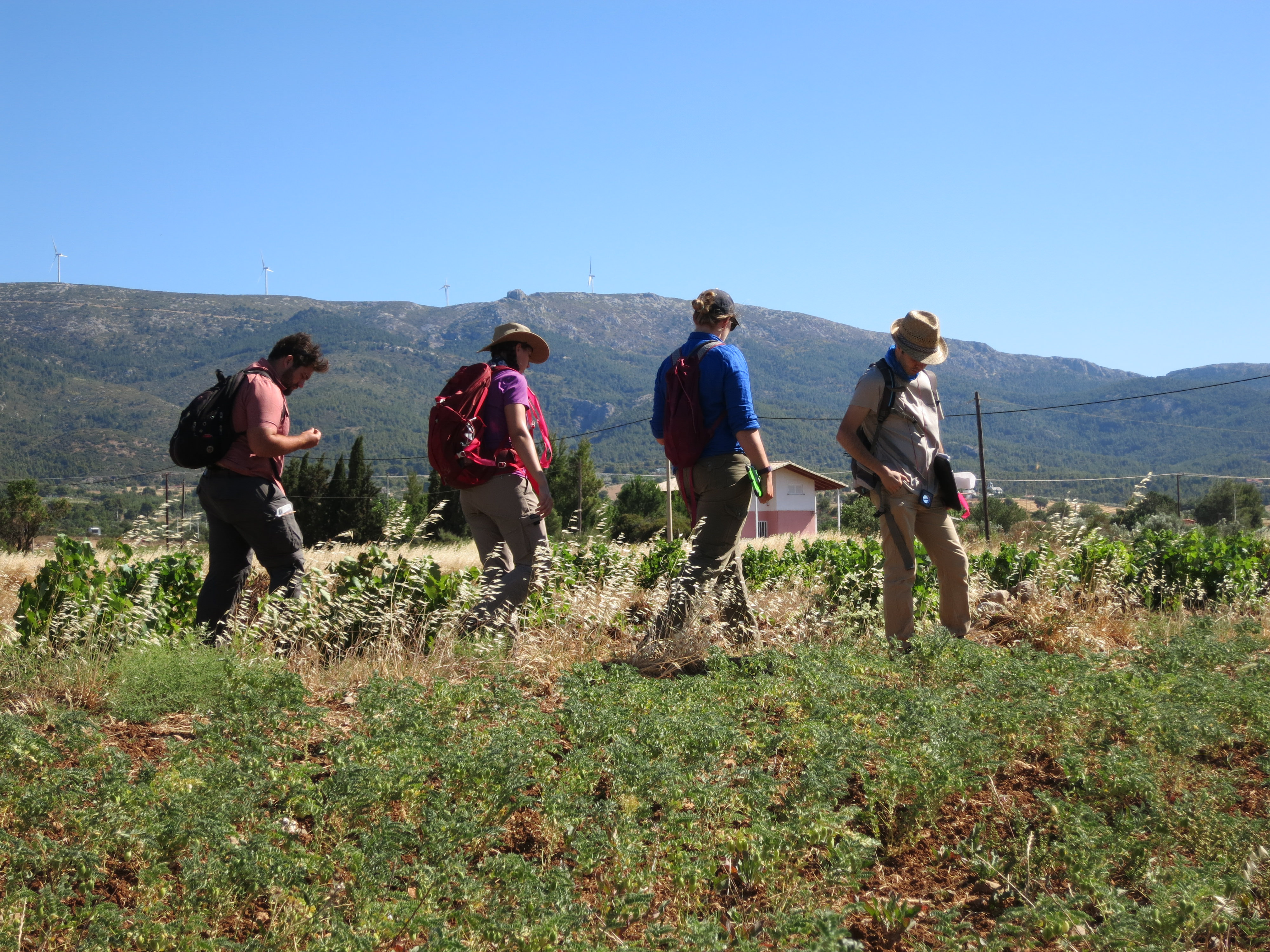
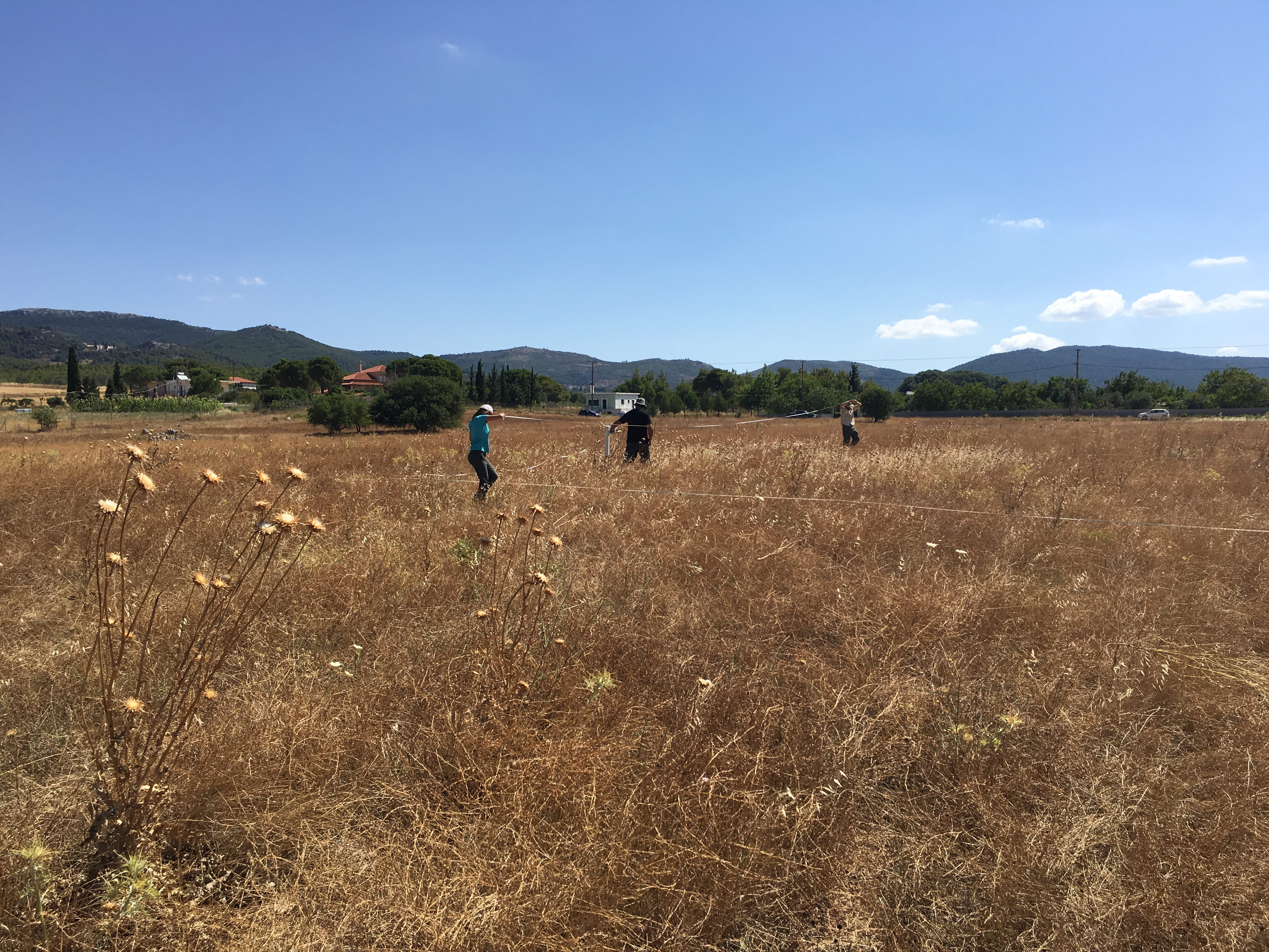
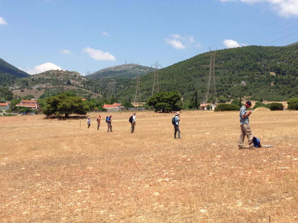
- Extensive survey with Sylvian Fachard and Sarah Craft
-
- Sylvian Fachard, Alex Knodell, Liza Davis, and Sarah Craft embark on extensive survey
-
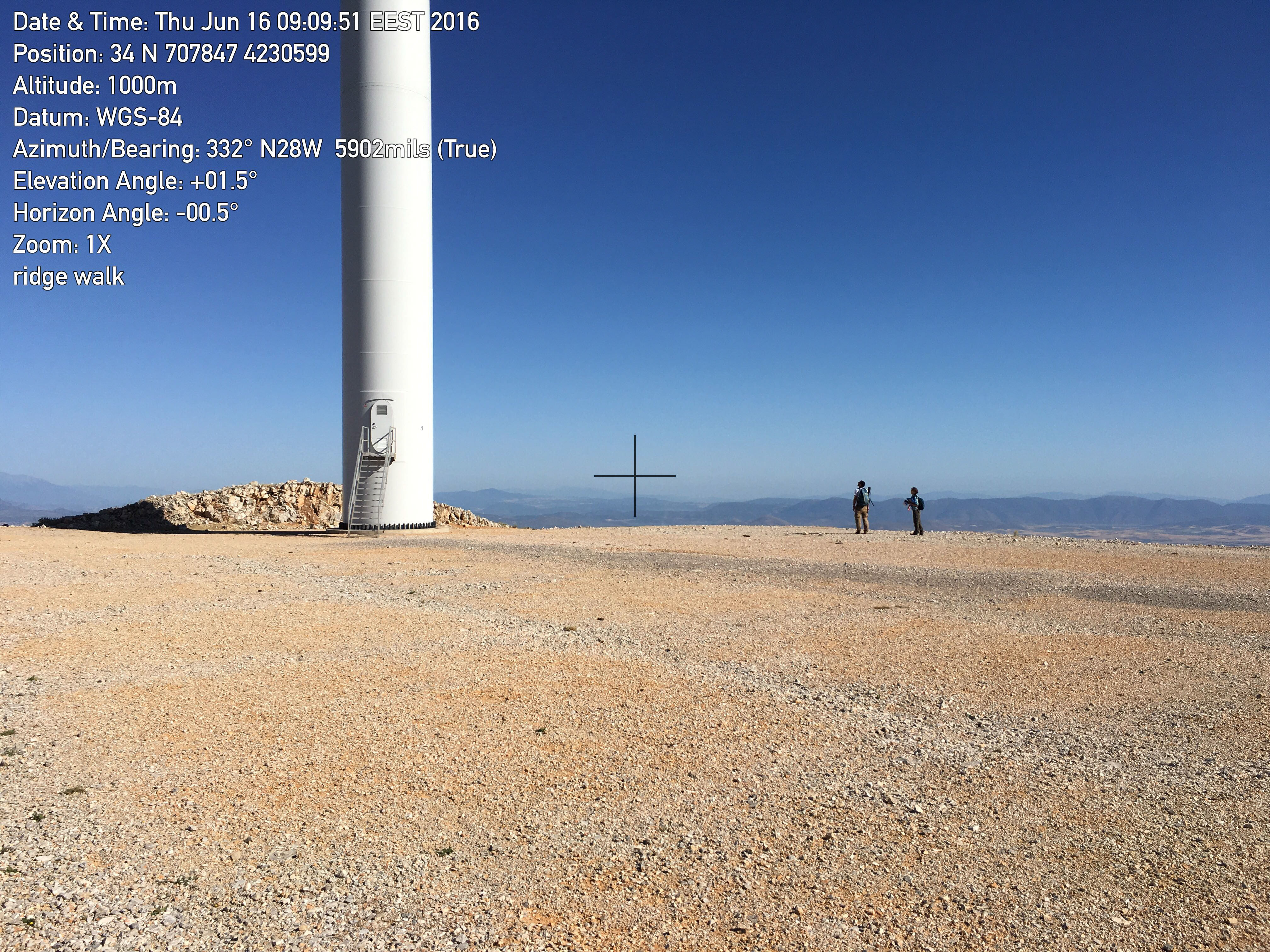
- Sylvian Fachard and Liza Davis doing extensive survey of the mountain ridge
-
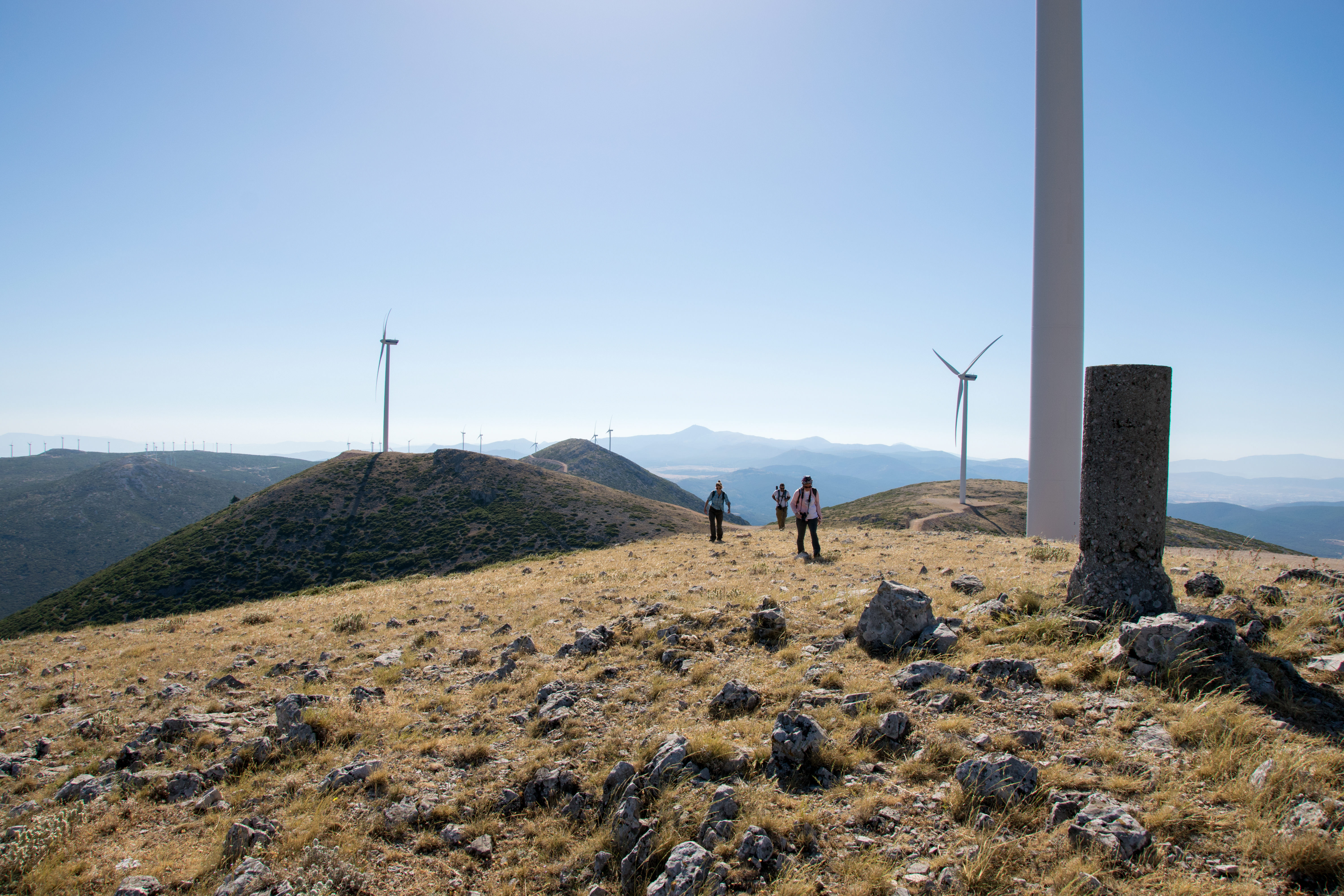
- Liza Davis, Sylvian Fachard, and Sarah Craft exploring the mountain ridge north of the Plain
-
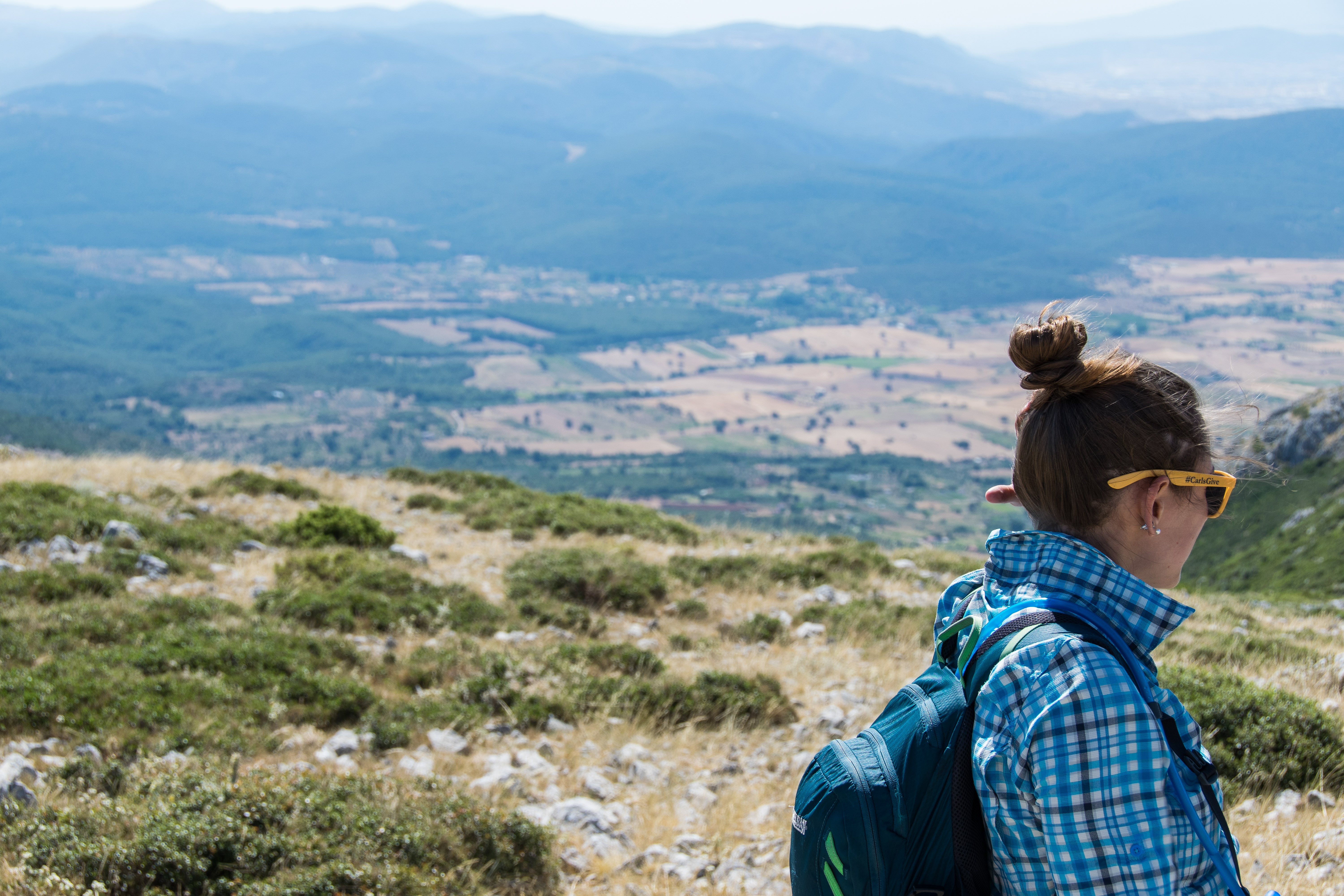
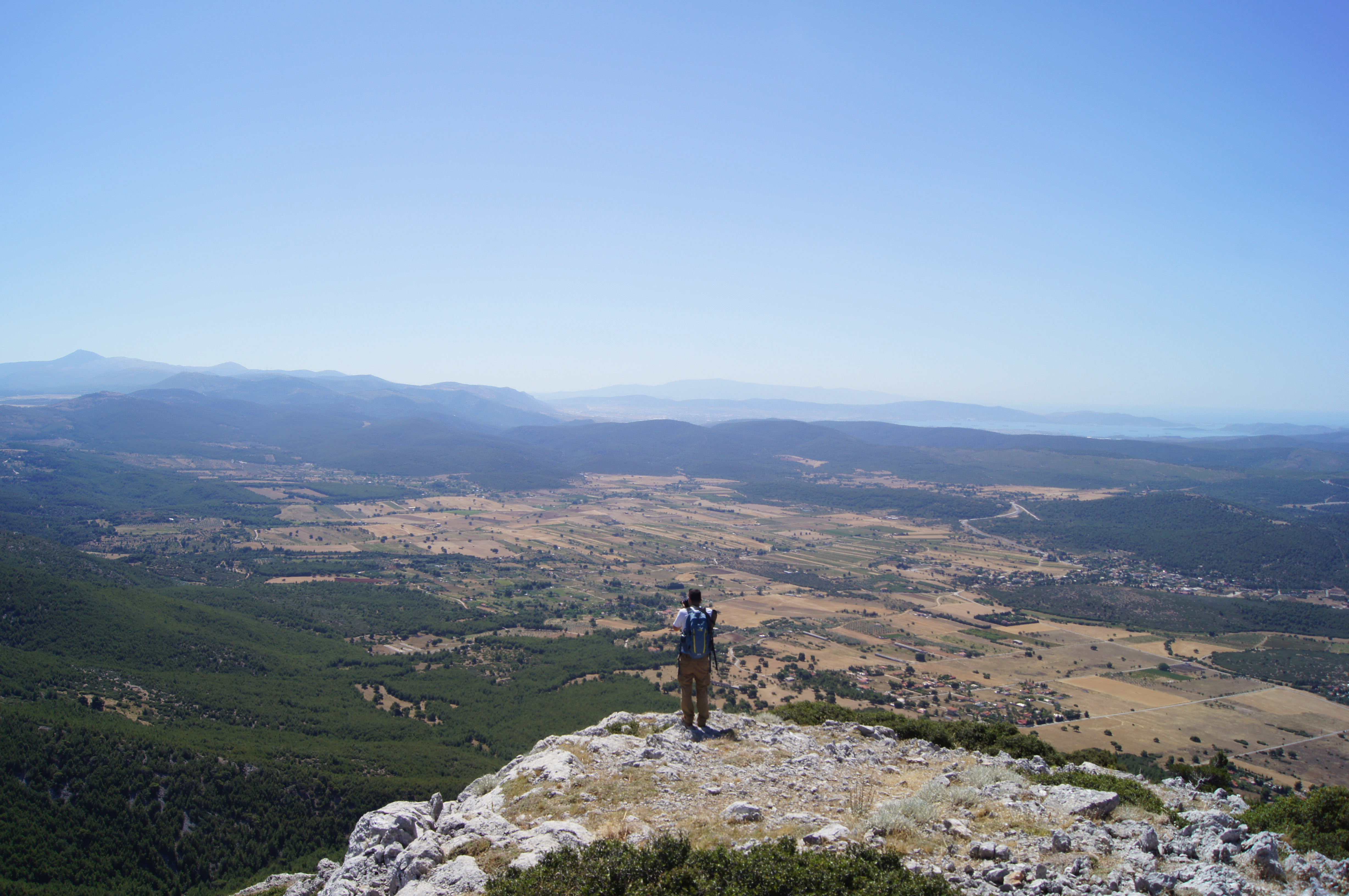
- Liza Davis surveys the view of the Mazi Plain
-
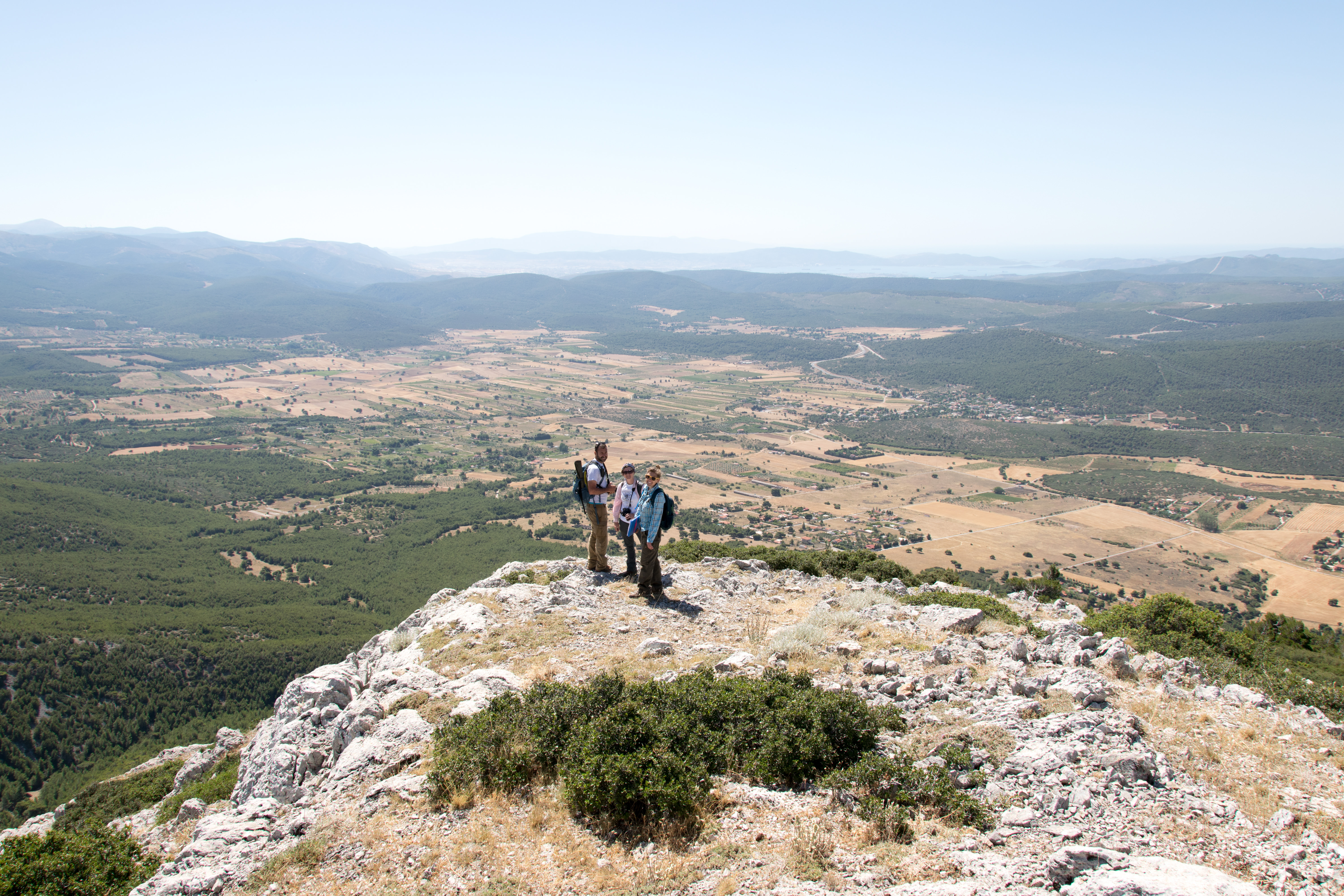
- The view from the mountain range
-
- Attempting to locate features found on satellite imagery
-
- Sylvian Fachard taking in the view
-
- At the end of a long and successful hike down the mountain!
-
- Nefeli Piree Iliou, Catherine Teitz, Liza Davis, and Sarah Craft on extensive survey
-
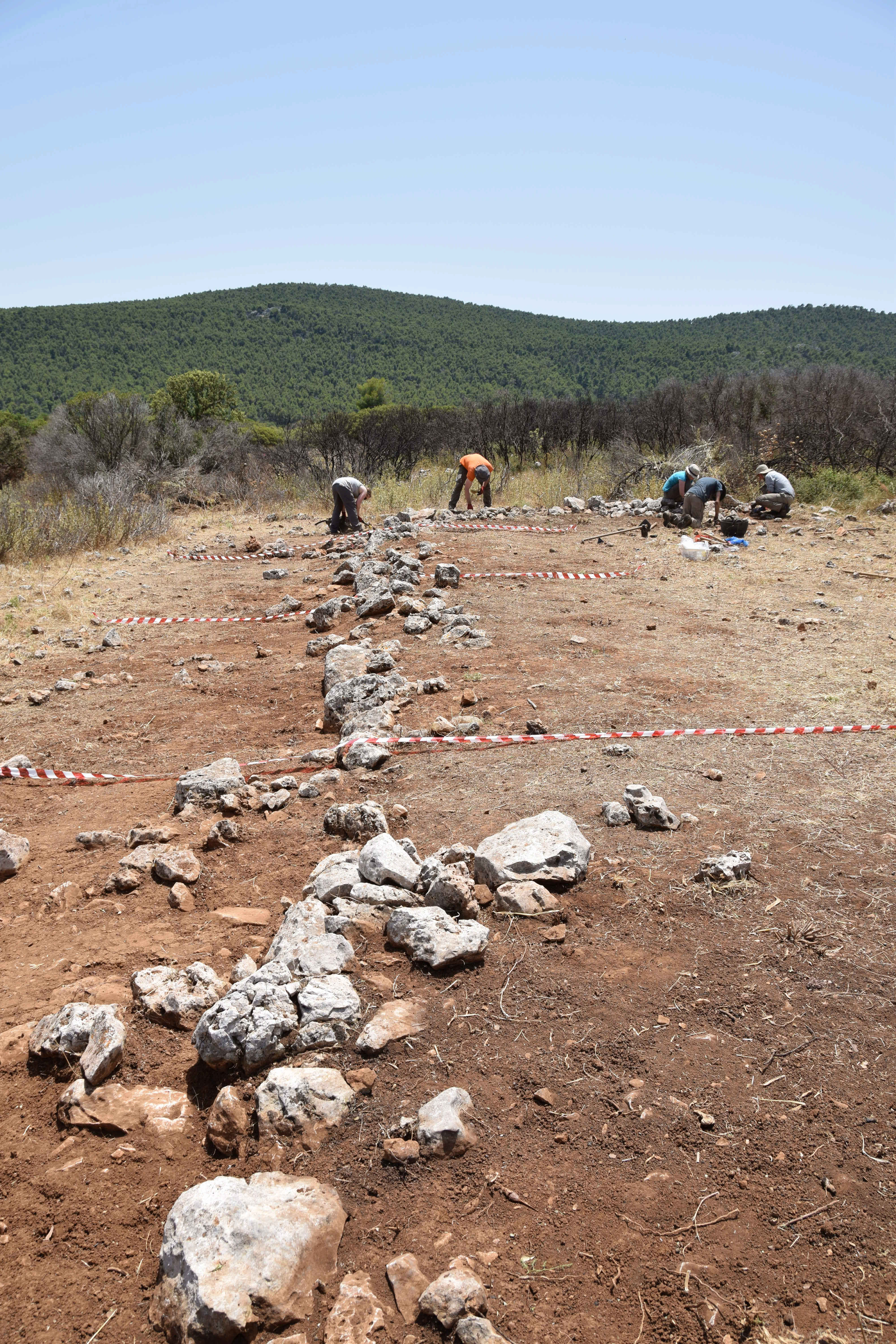
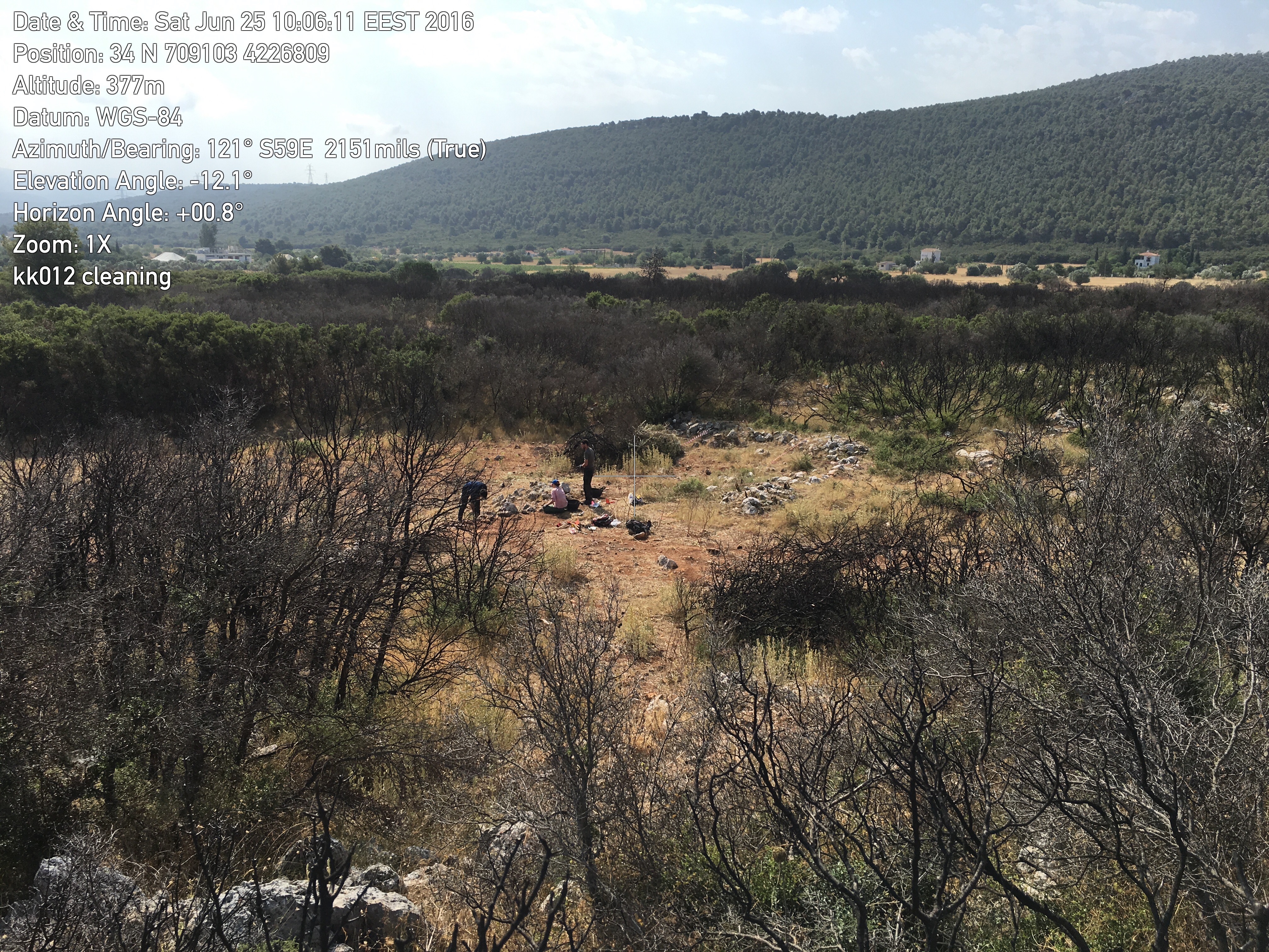
- Cleaning the prehistoric site of Kato Kastanava
-
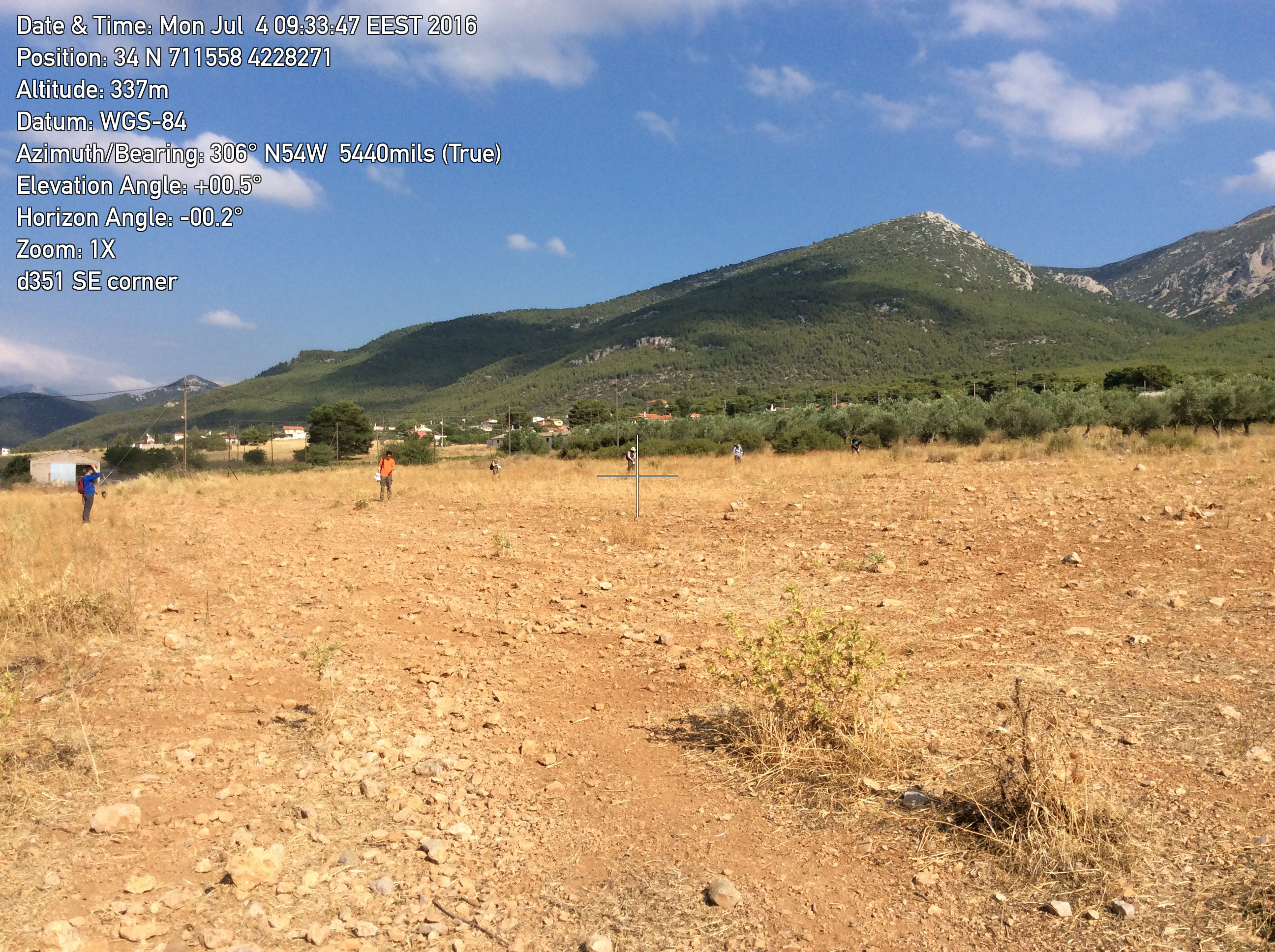
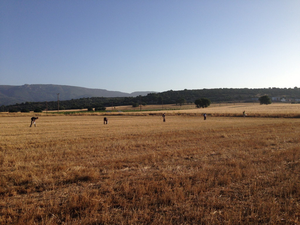
- Surveying Area E
-
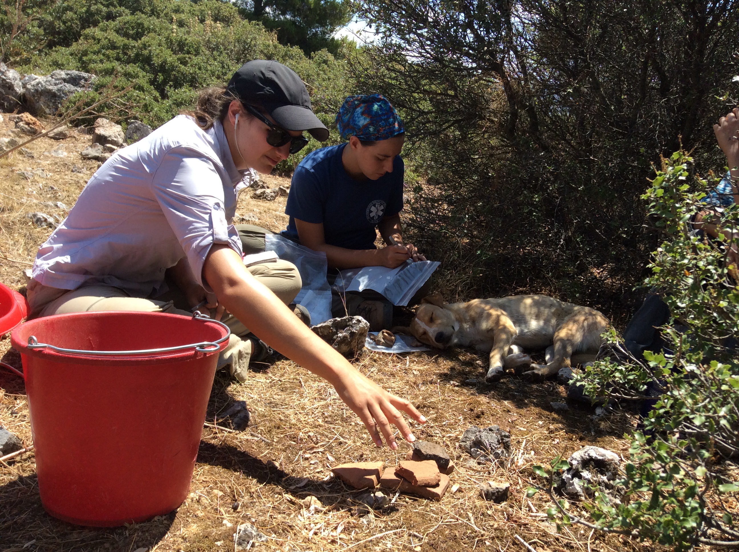
- Brian Niedert aids Sarah Murray with photogrammetry
-
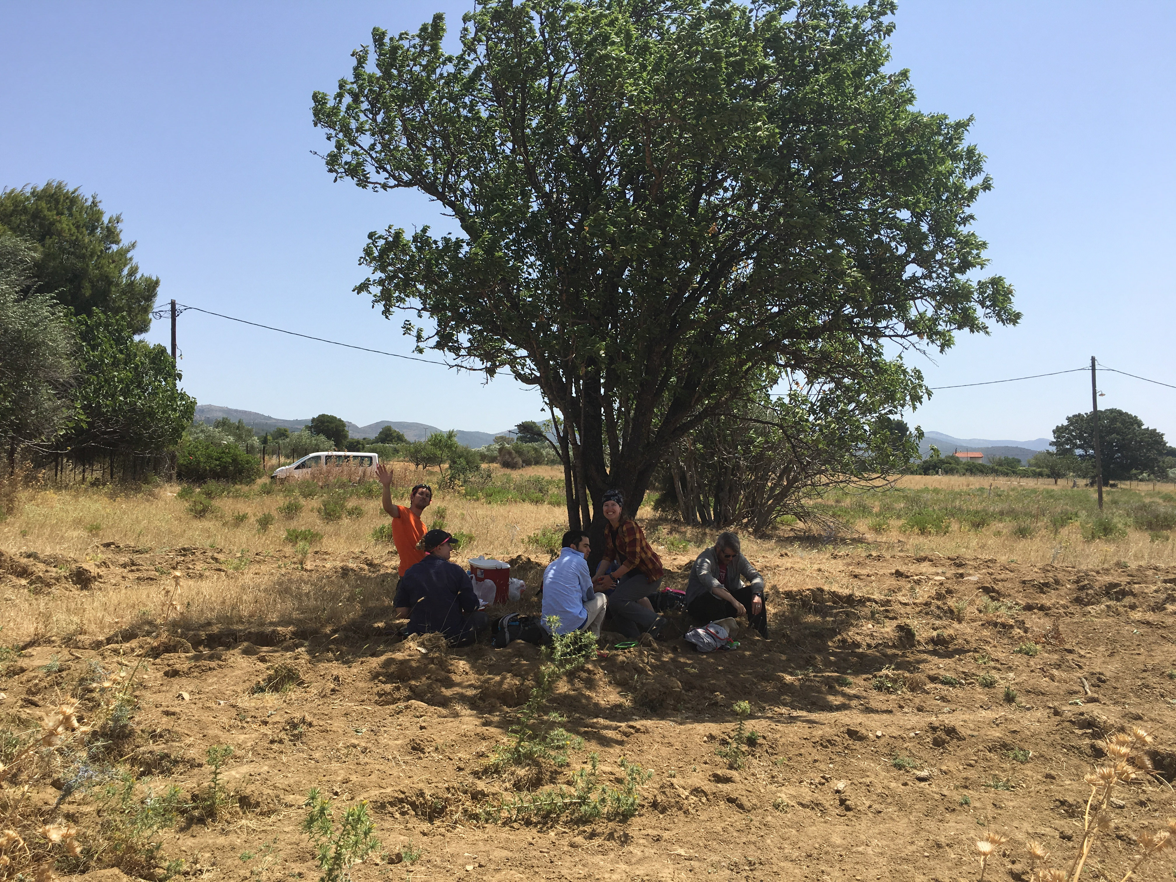
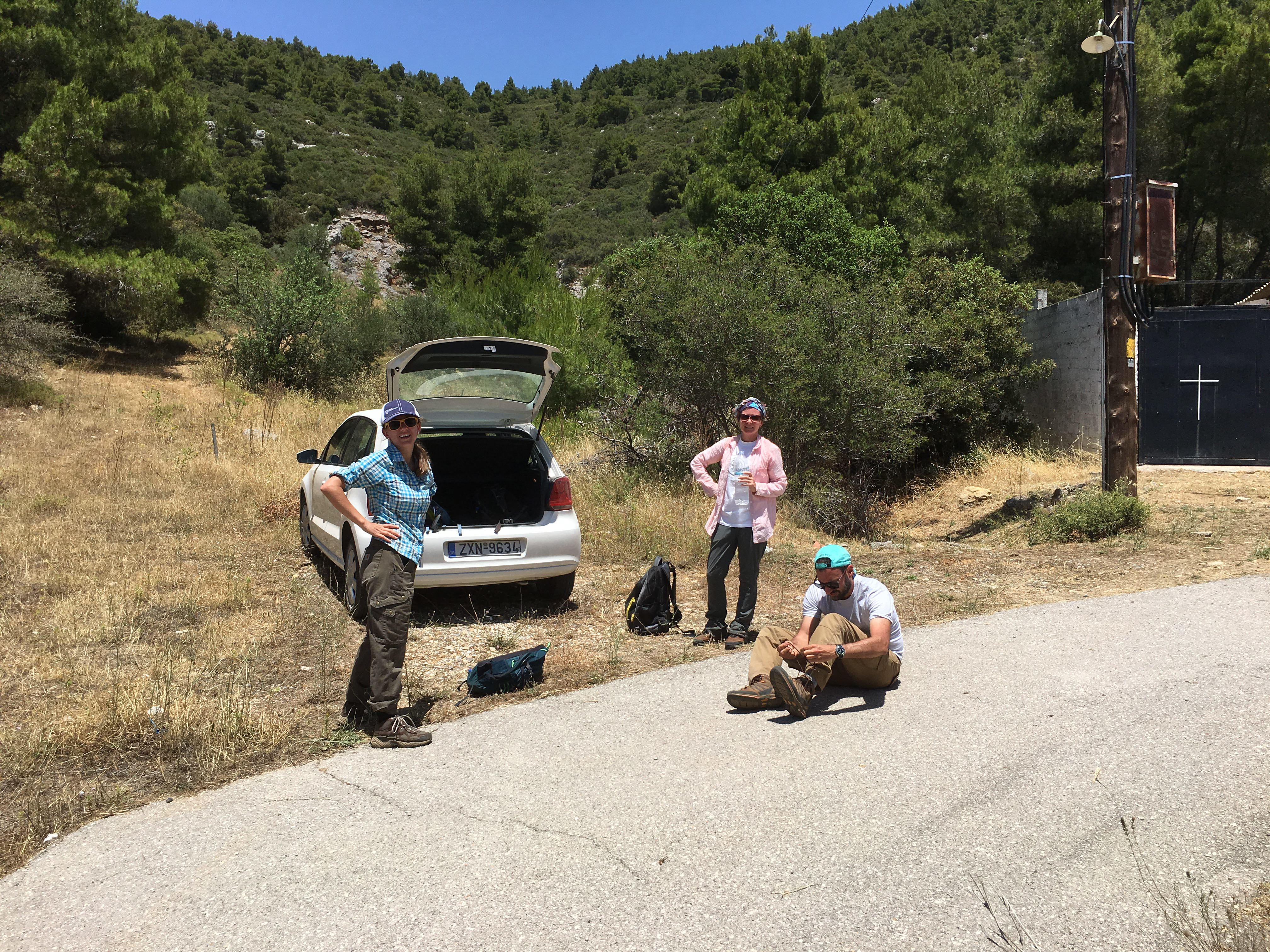
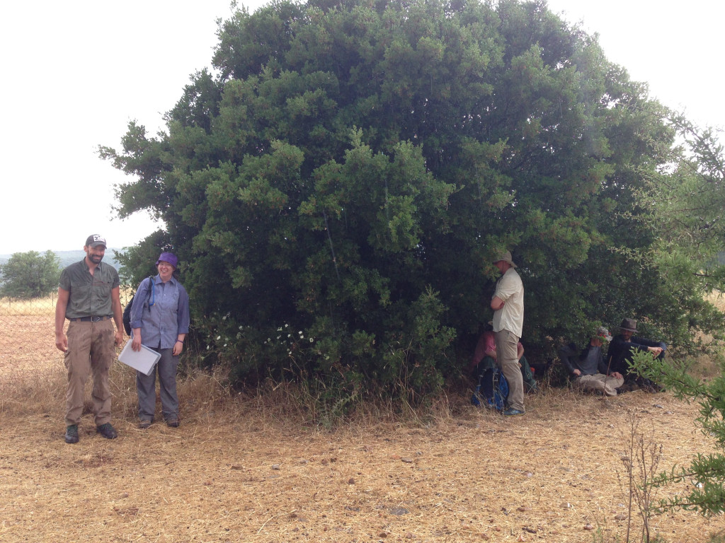
- Team D enjoying a picnic lunch in the shade
Week 2
-
- Sylvian Fachard explores during extensive survey
-
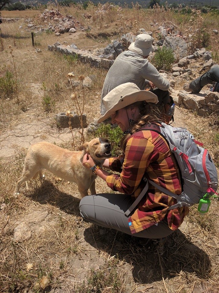
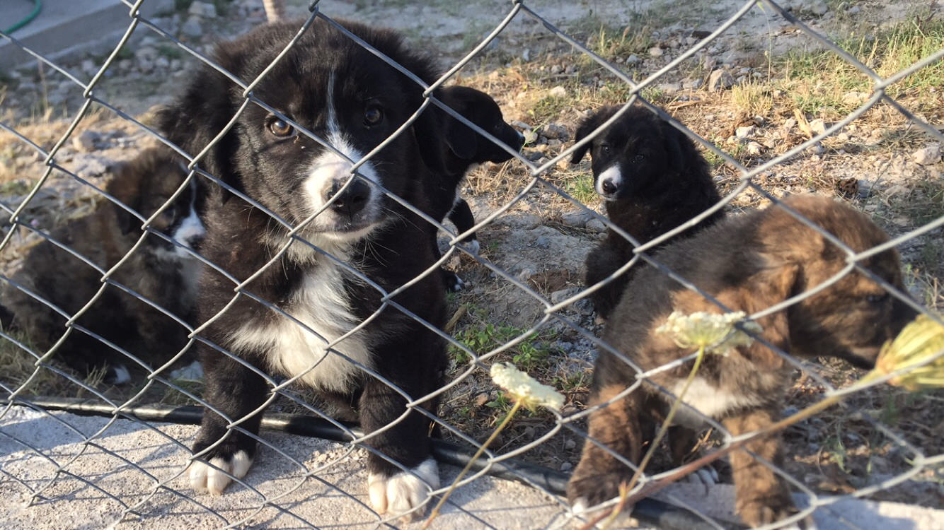
- Chloe Bergstrand bonds with one of the many dogs of the Mazi Plain
-
- Sue Alcock gazes upon the next Survey Unit
-
- Julia Miller is very excited about surveying the 50th unit of the season!
-
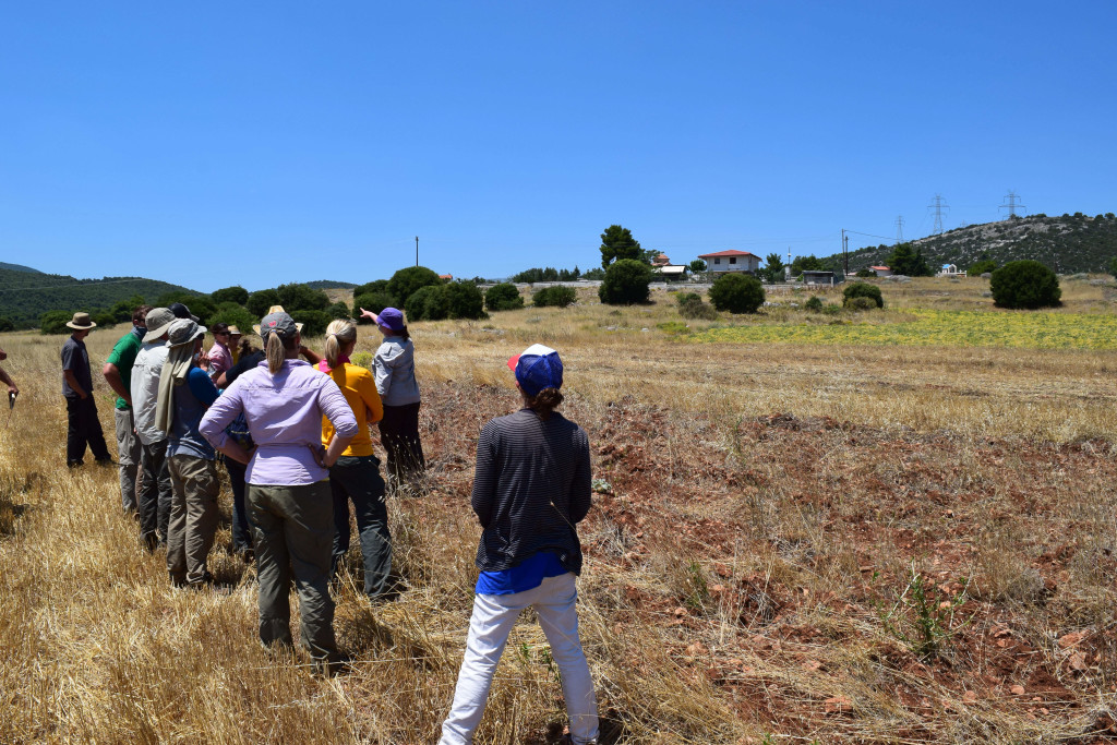
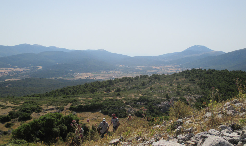
- Exploring features in the hills surrounding the Plain
-
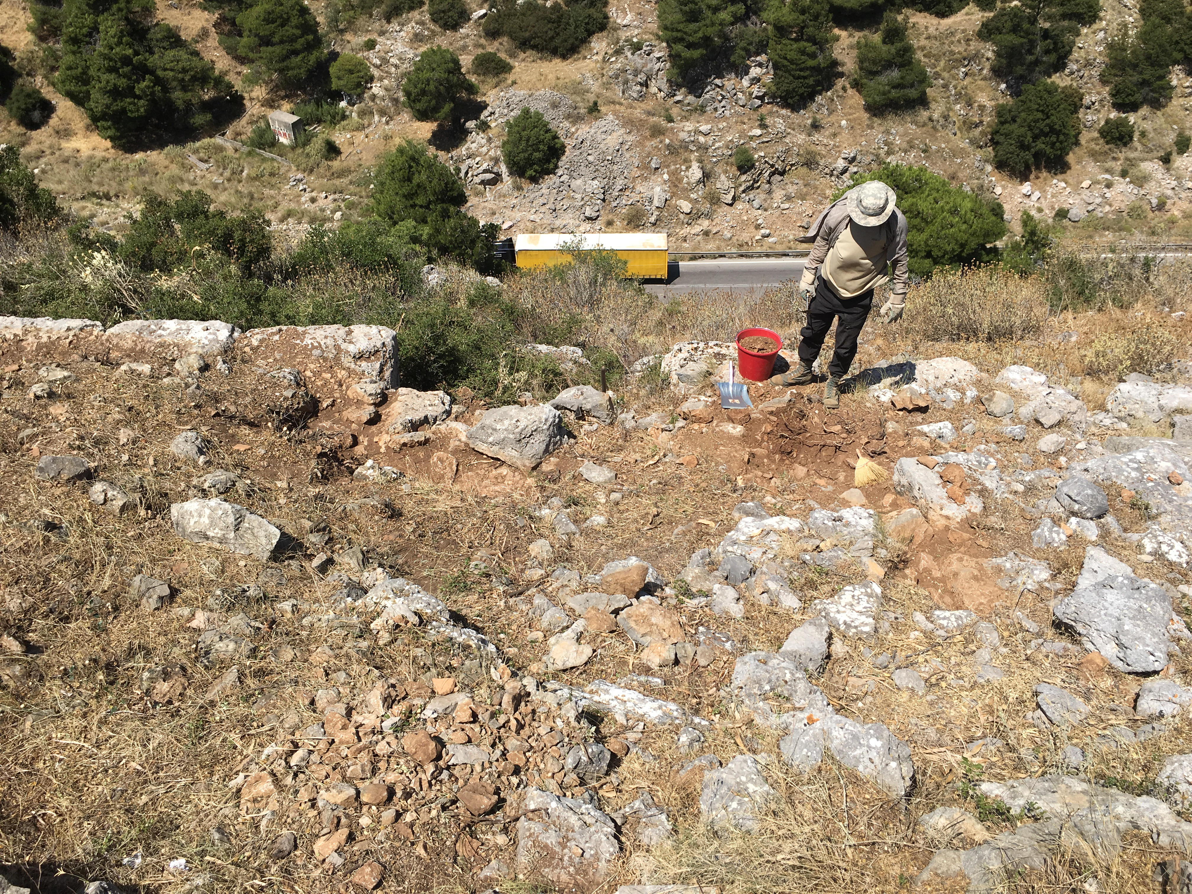
- Brian Niedert cleans features near Eleutherai
-
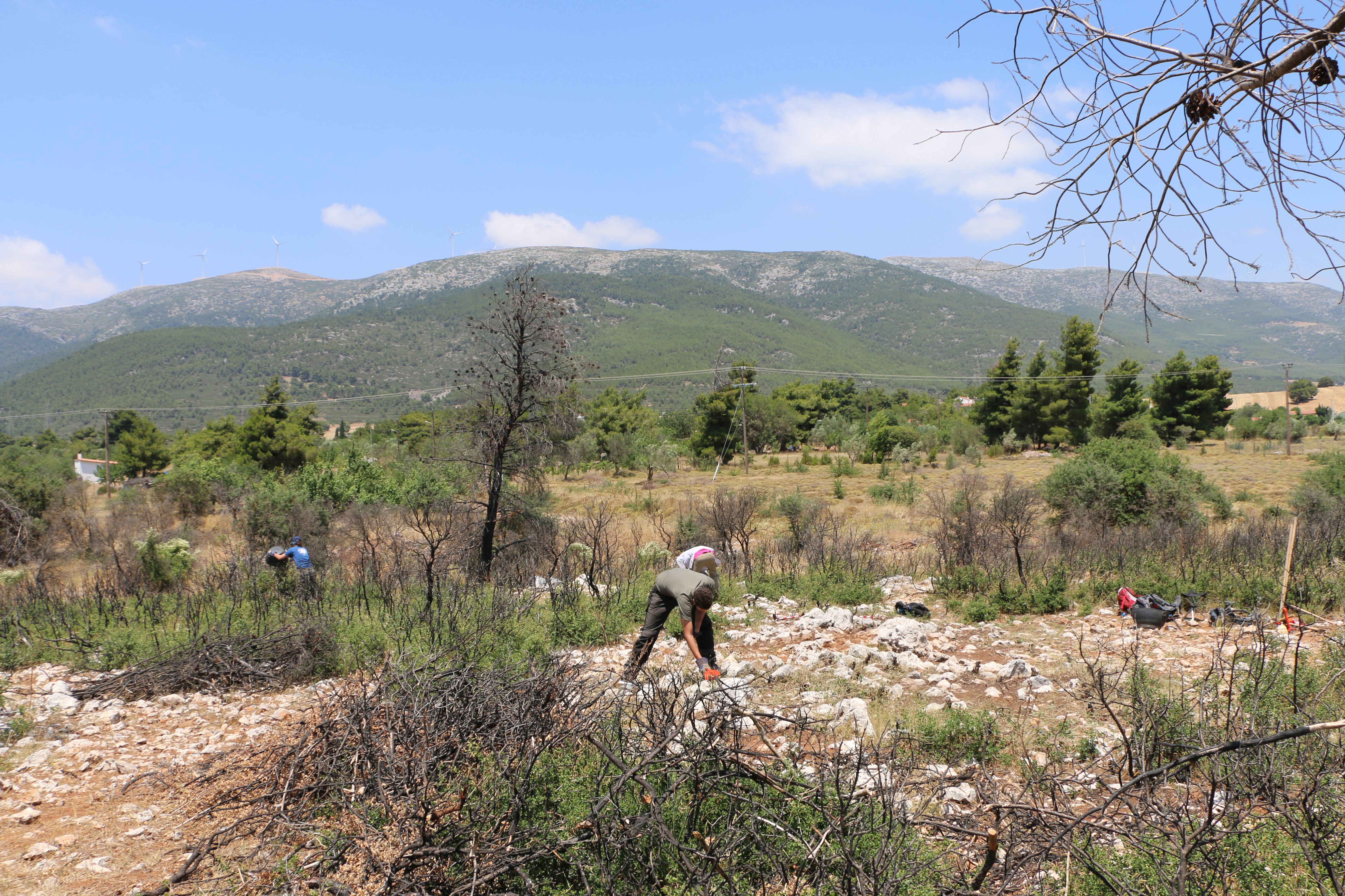
- Cleaning at Kato Kastanava
-
- Xavier Mabillard working at Kato Kastanava
-
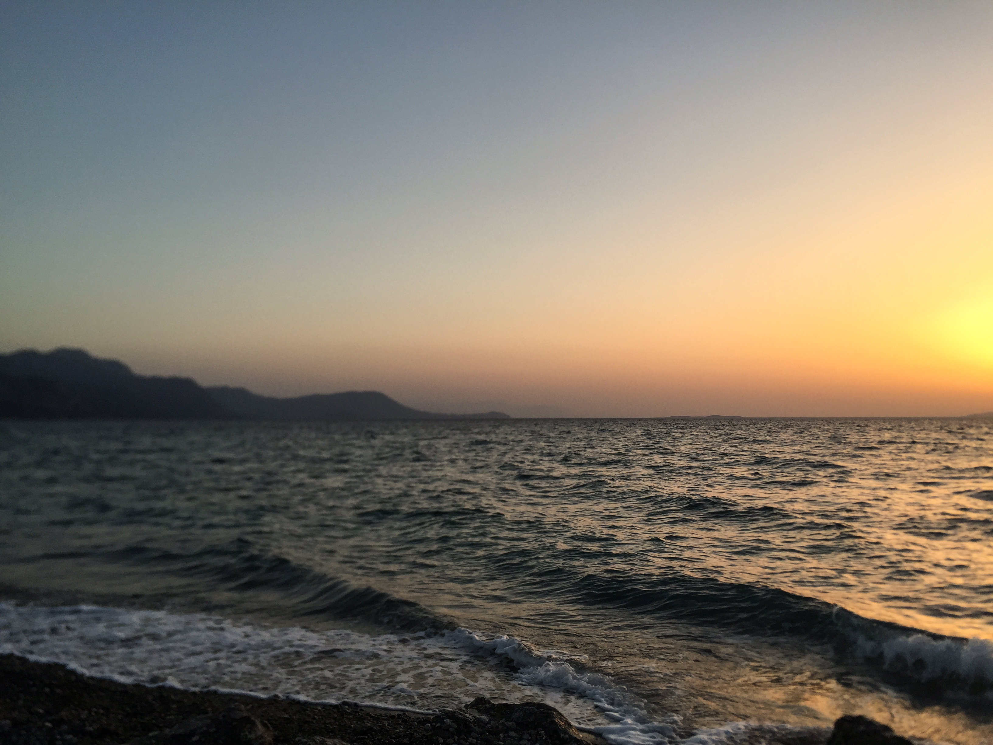
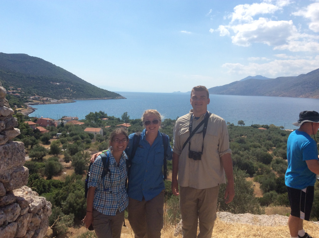
- Sunset over the Corinthian Gulf
-
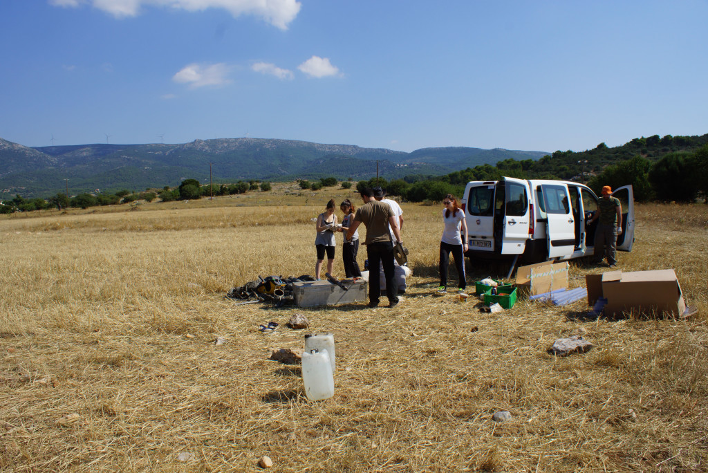
- Team “RoverCraft” lining up for fieldwalking
-
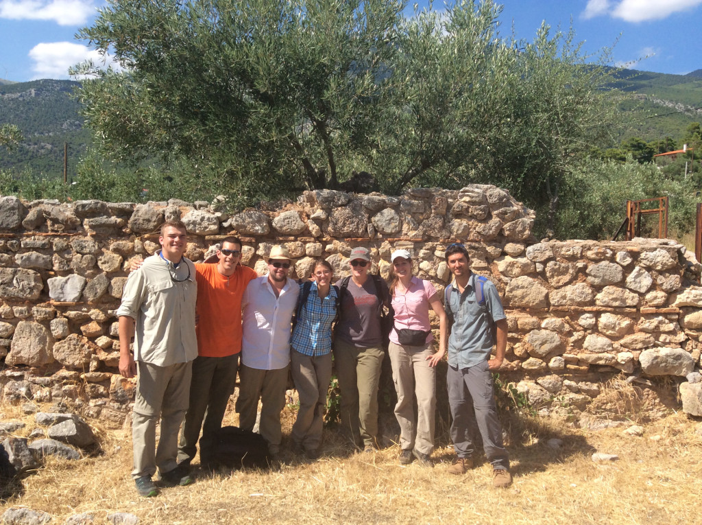
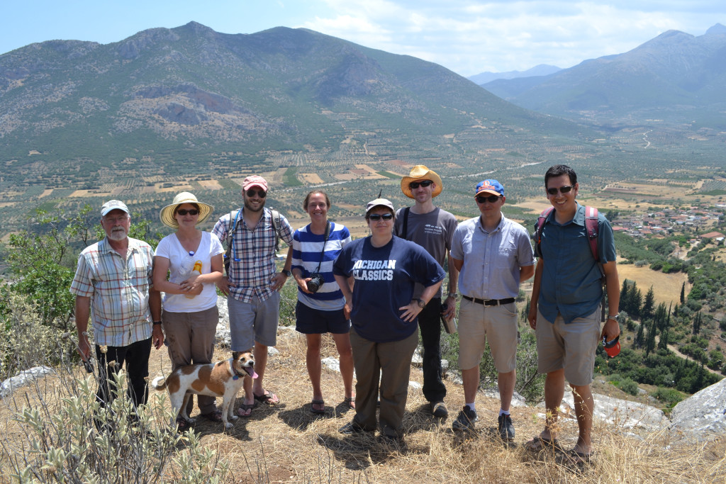
- Some of our favorite survey companions!
-
- The Fortress of Eleutherai on a sunny day
Week 3
-
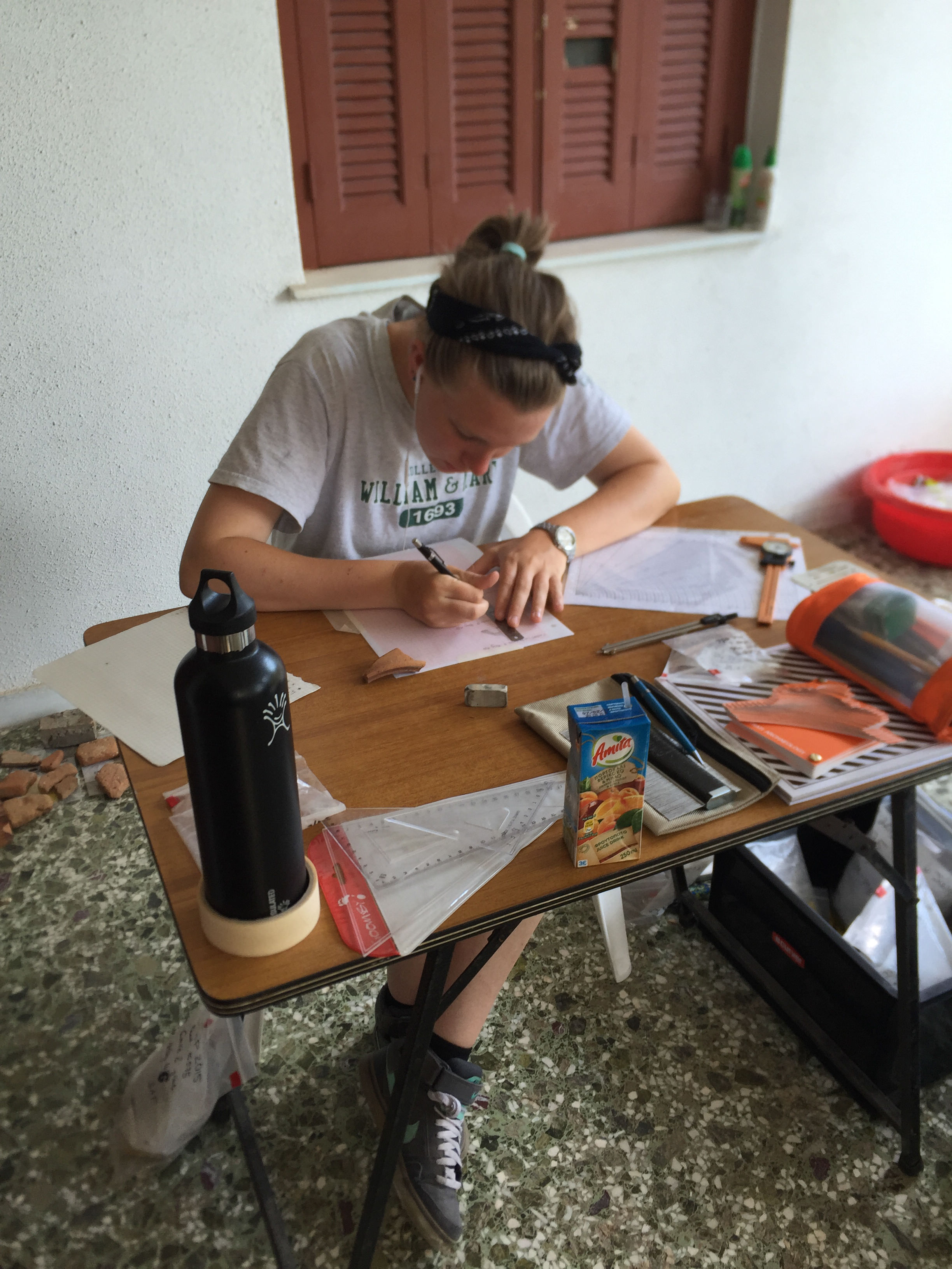
- Maura Brennan works to sketch pieces from the pottery collection
-
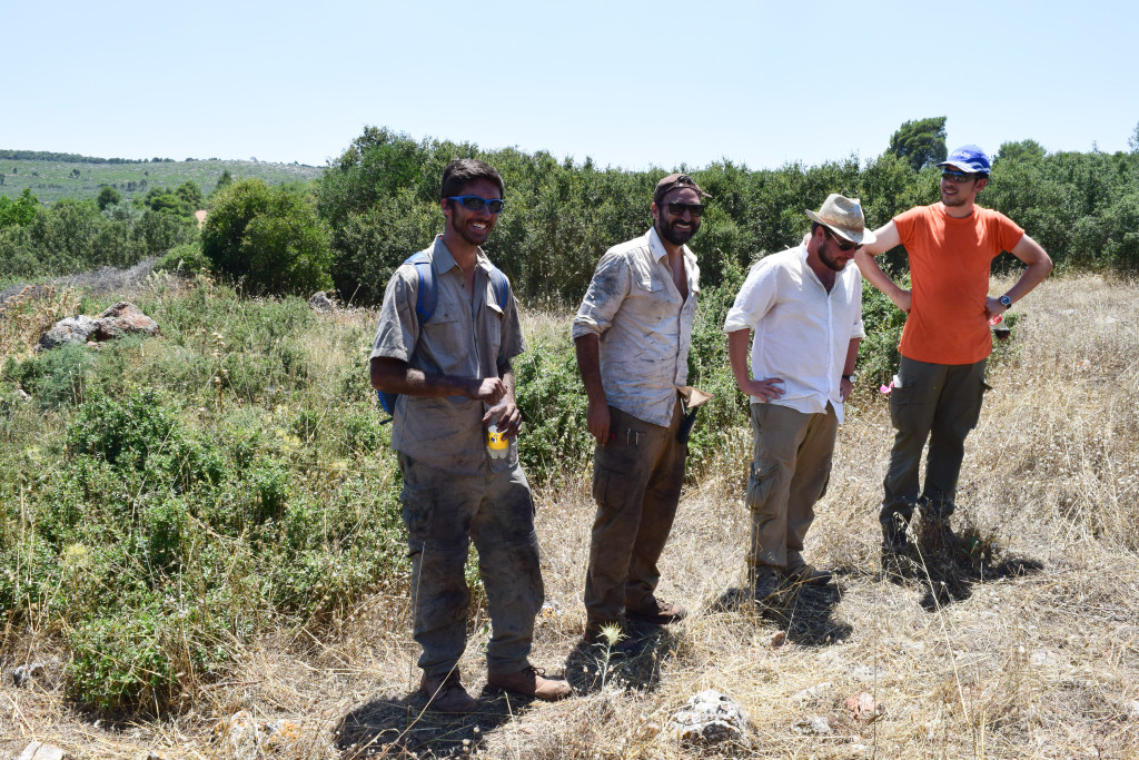
- Team D taking the field by storm
-
- Lindsey Fine working on the collection of prehistoric pottery
-
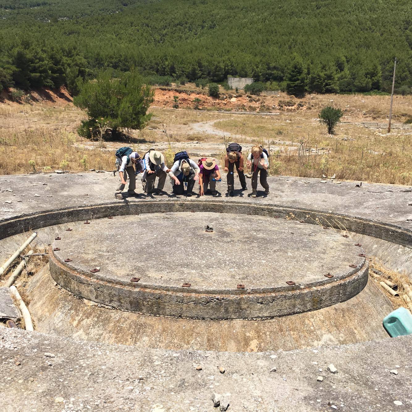
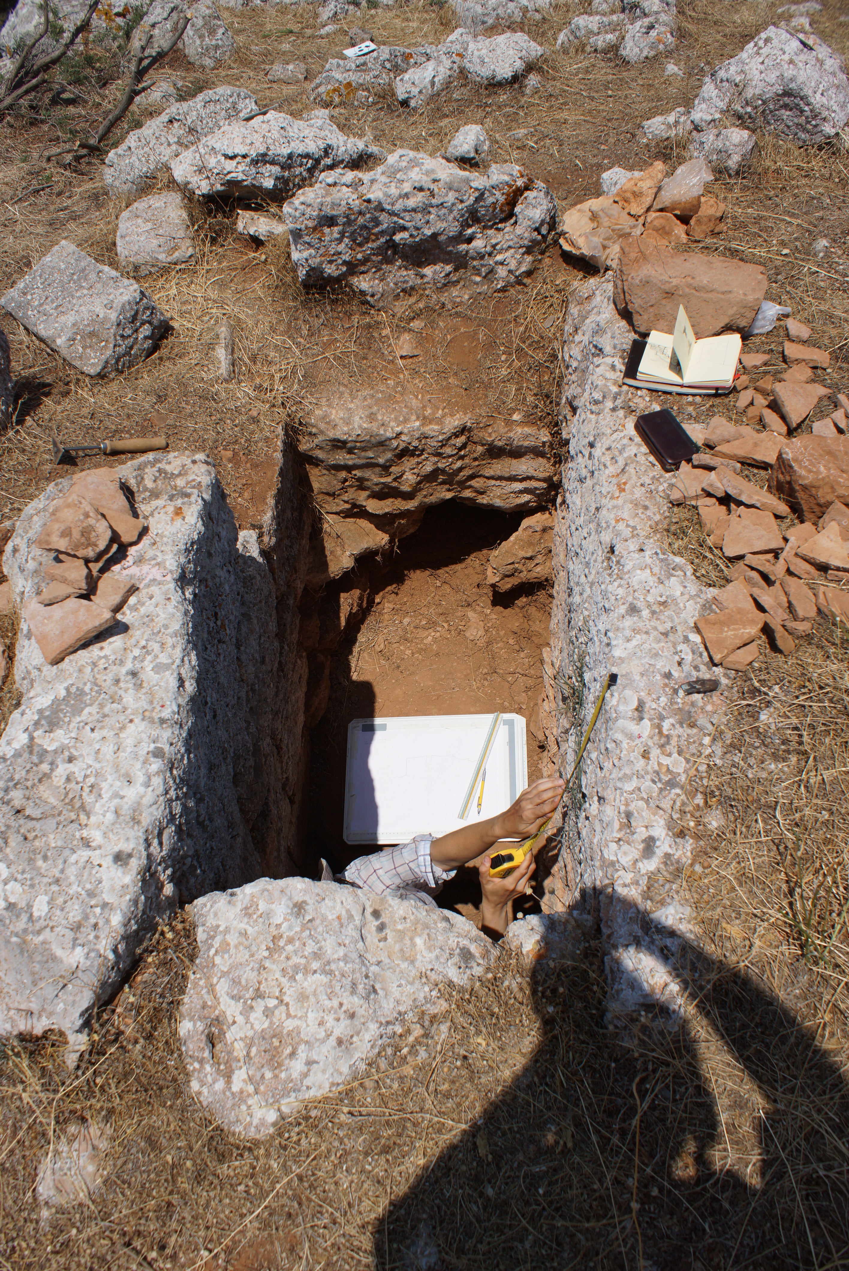
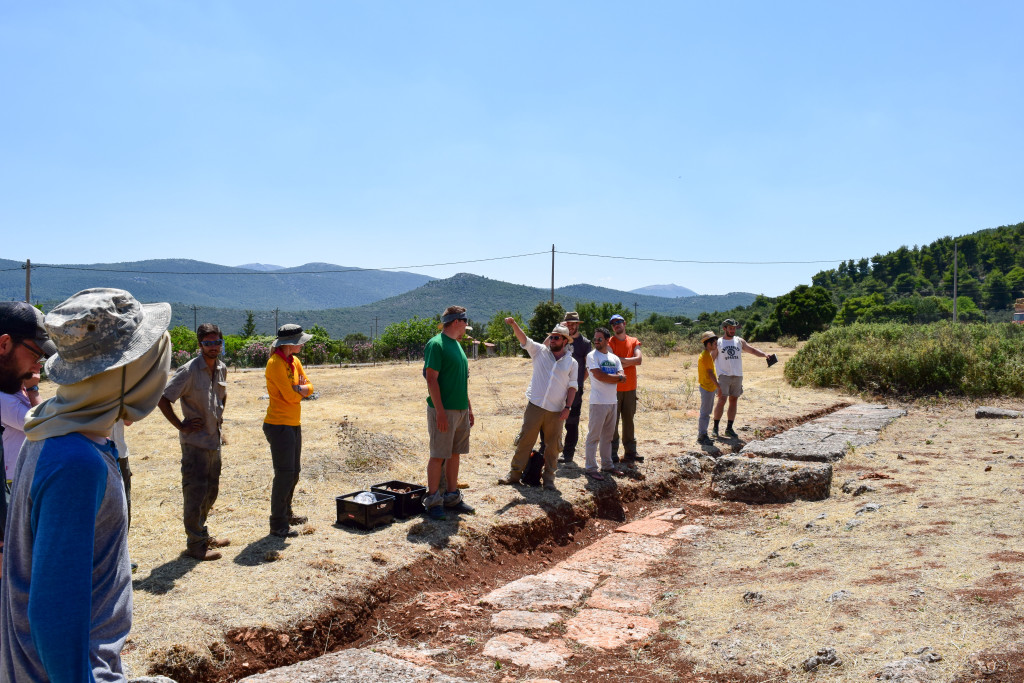
- Team members stumble upon a strange concrete platform…
-
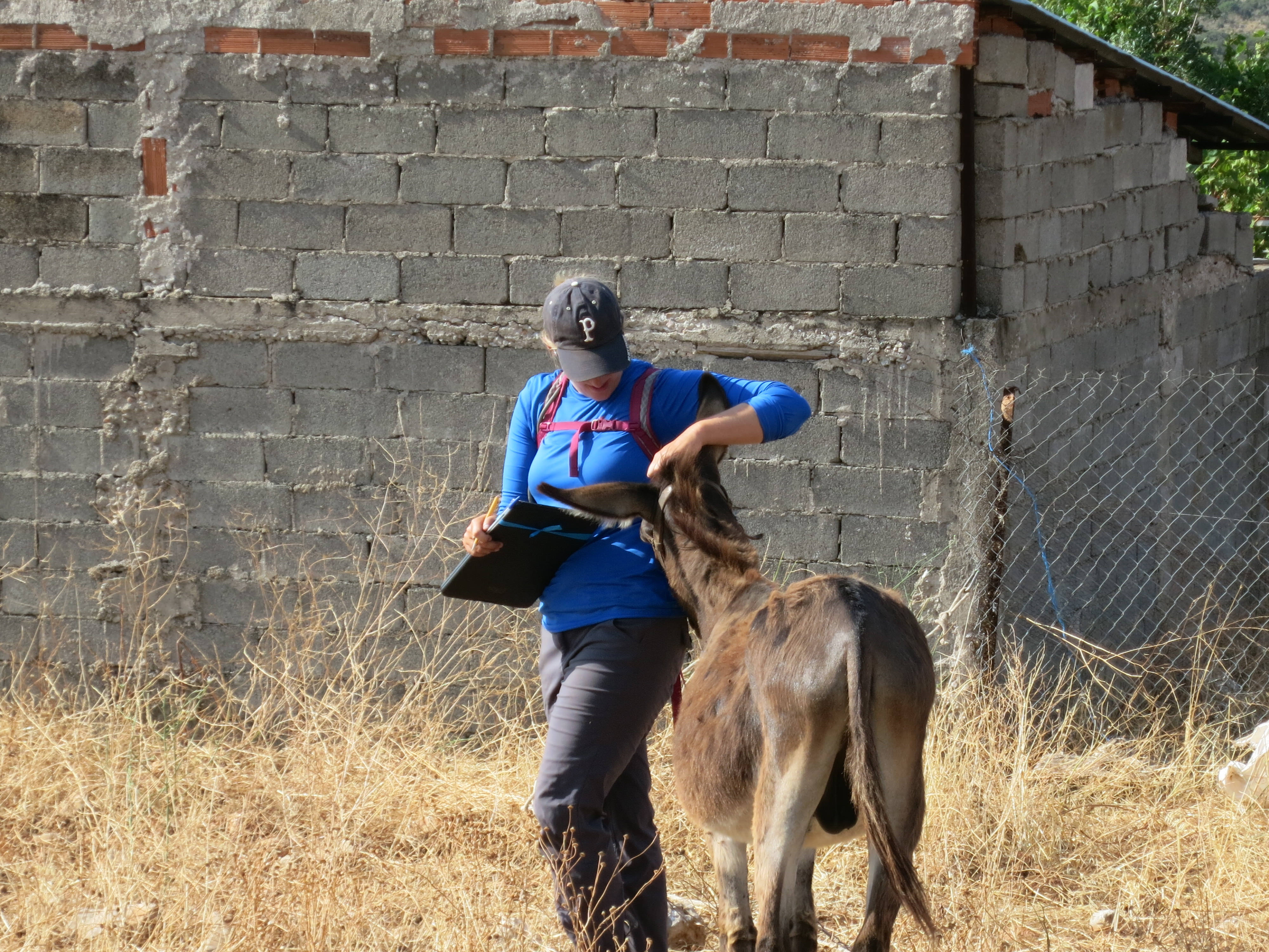
- Catie Steidl befriends a stray donkey
-
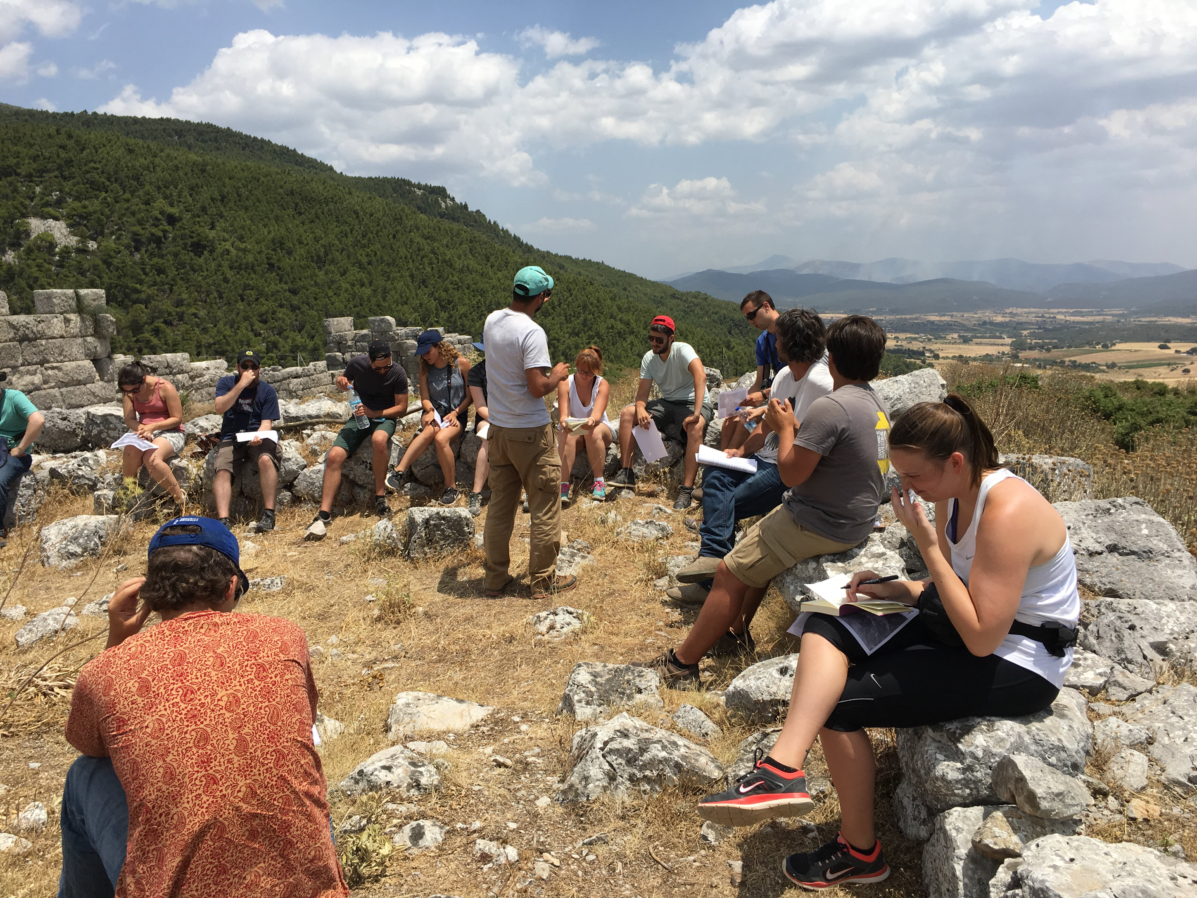
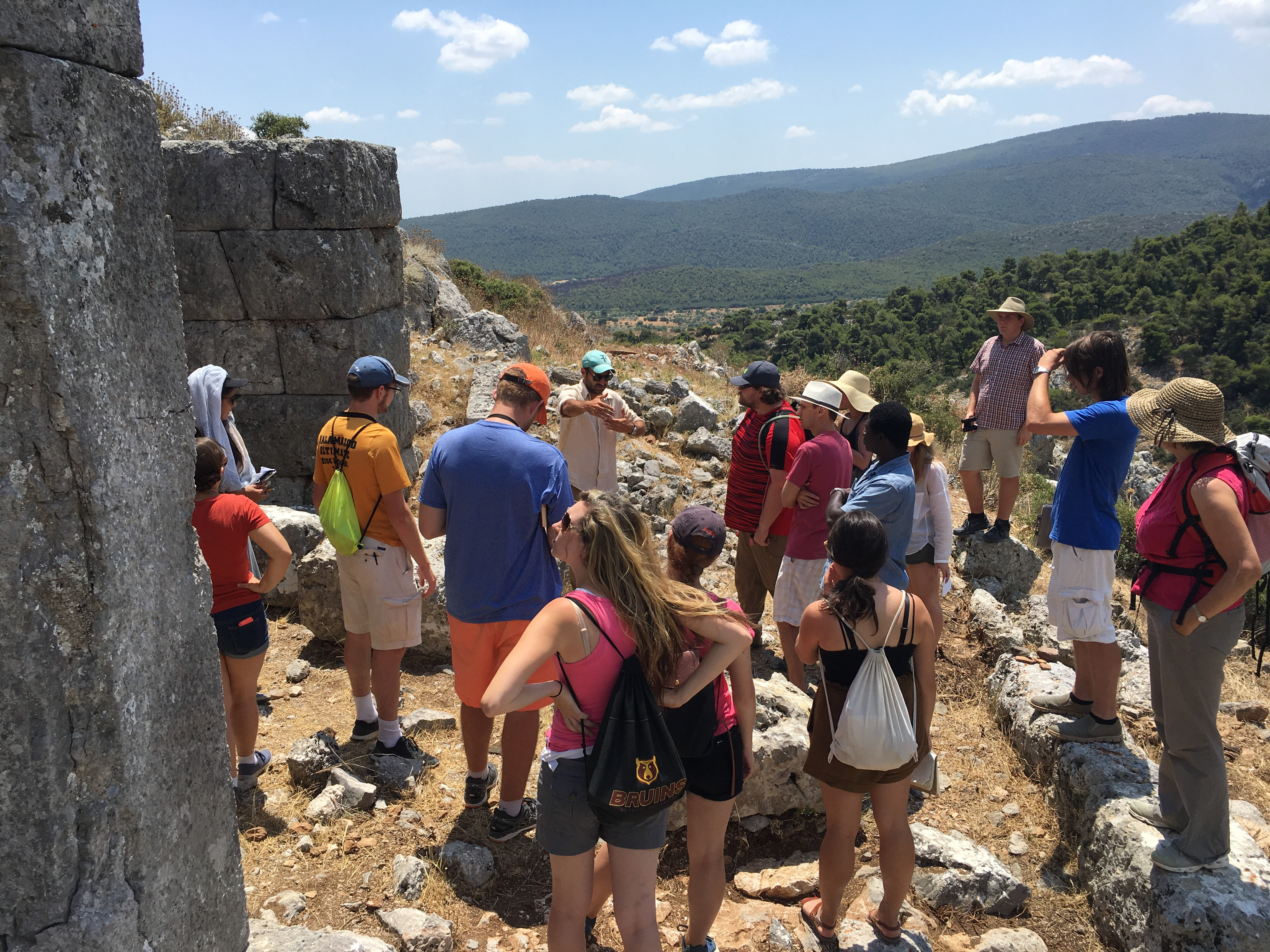
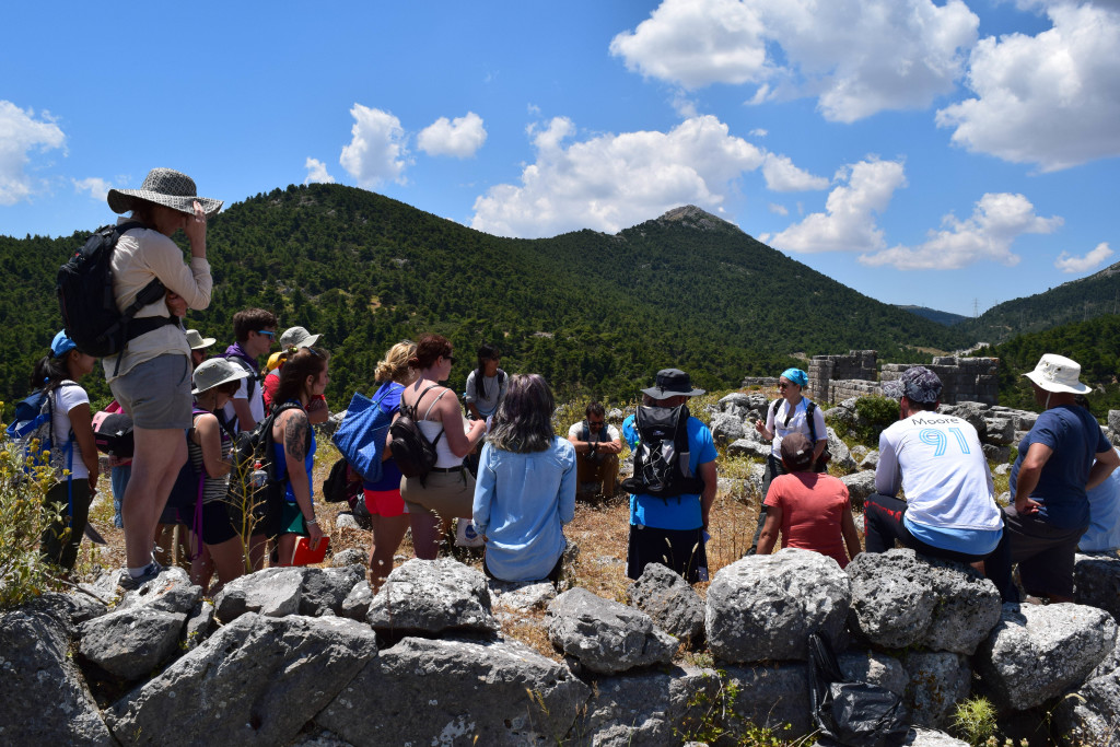
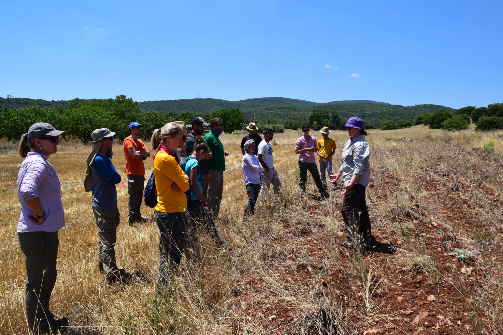
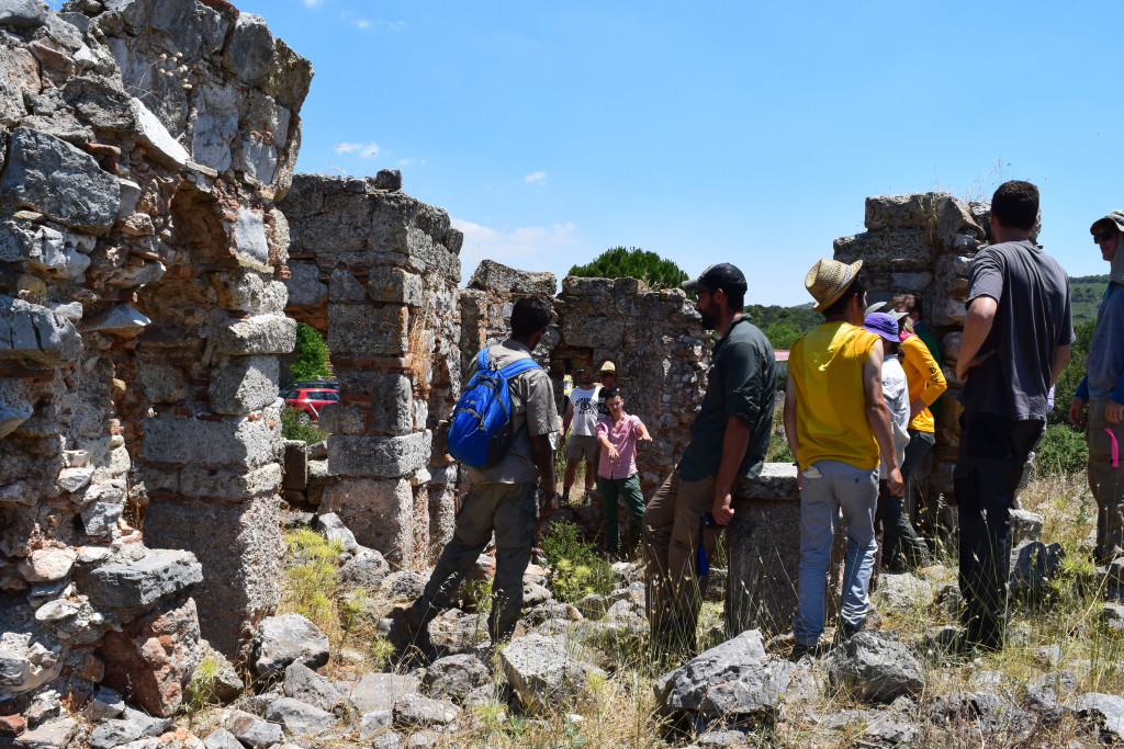
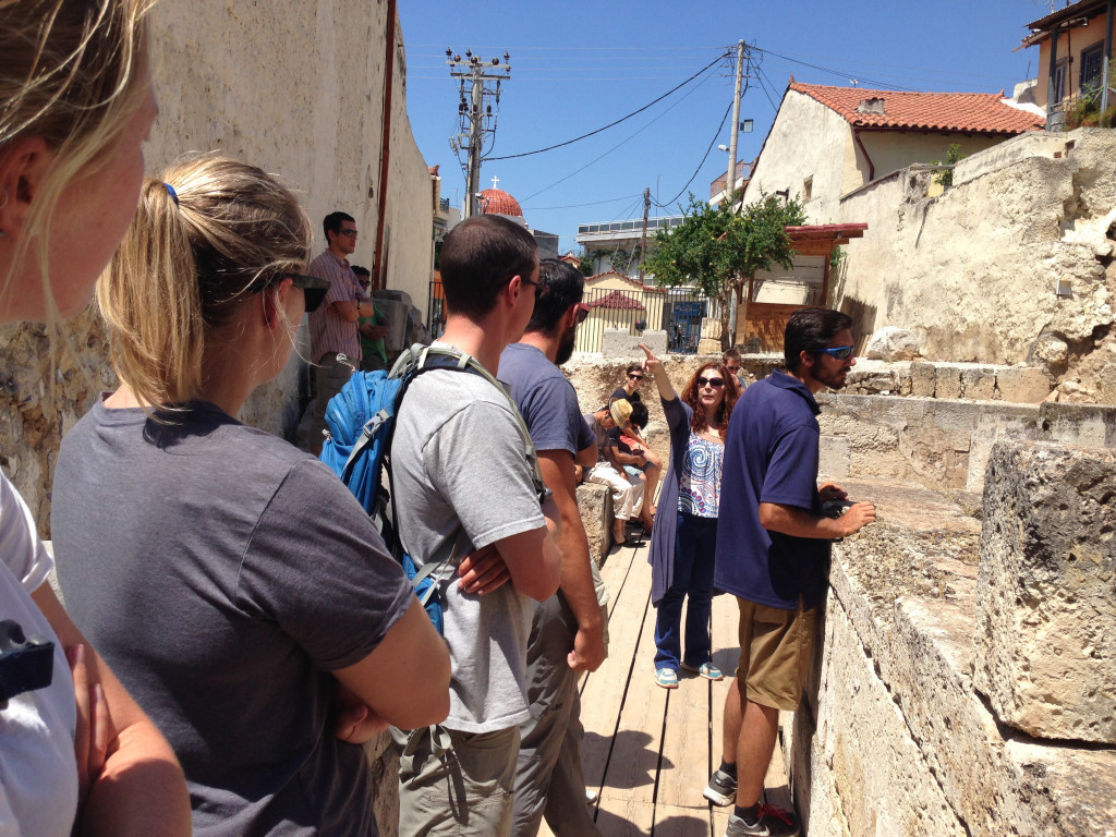
- At Eleutherai, Sylvian Fachard lectures the visiting summer session students from the American School of Classical Studies at Athens
-
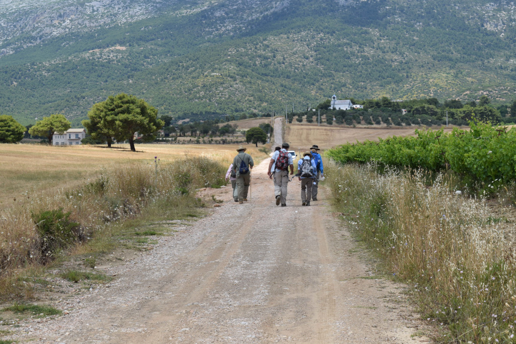
- Lining up for fieldwalking
-
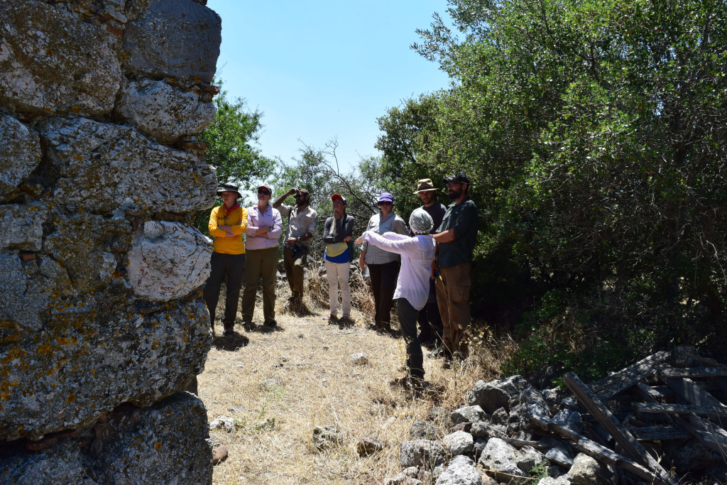
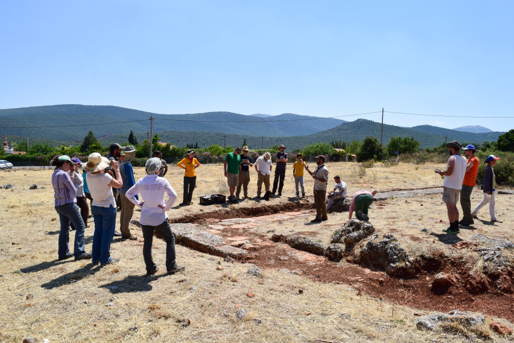
- Marie Drielsma, Liza Davis, and Mitch Groninger are excited about this new structure!
-
- Cloudy sky on the way to Delphi for the long weekend
-
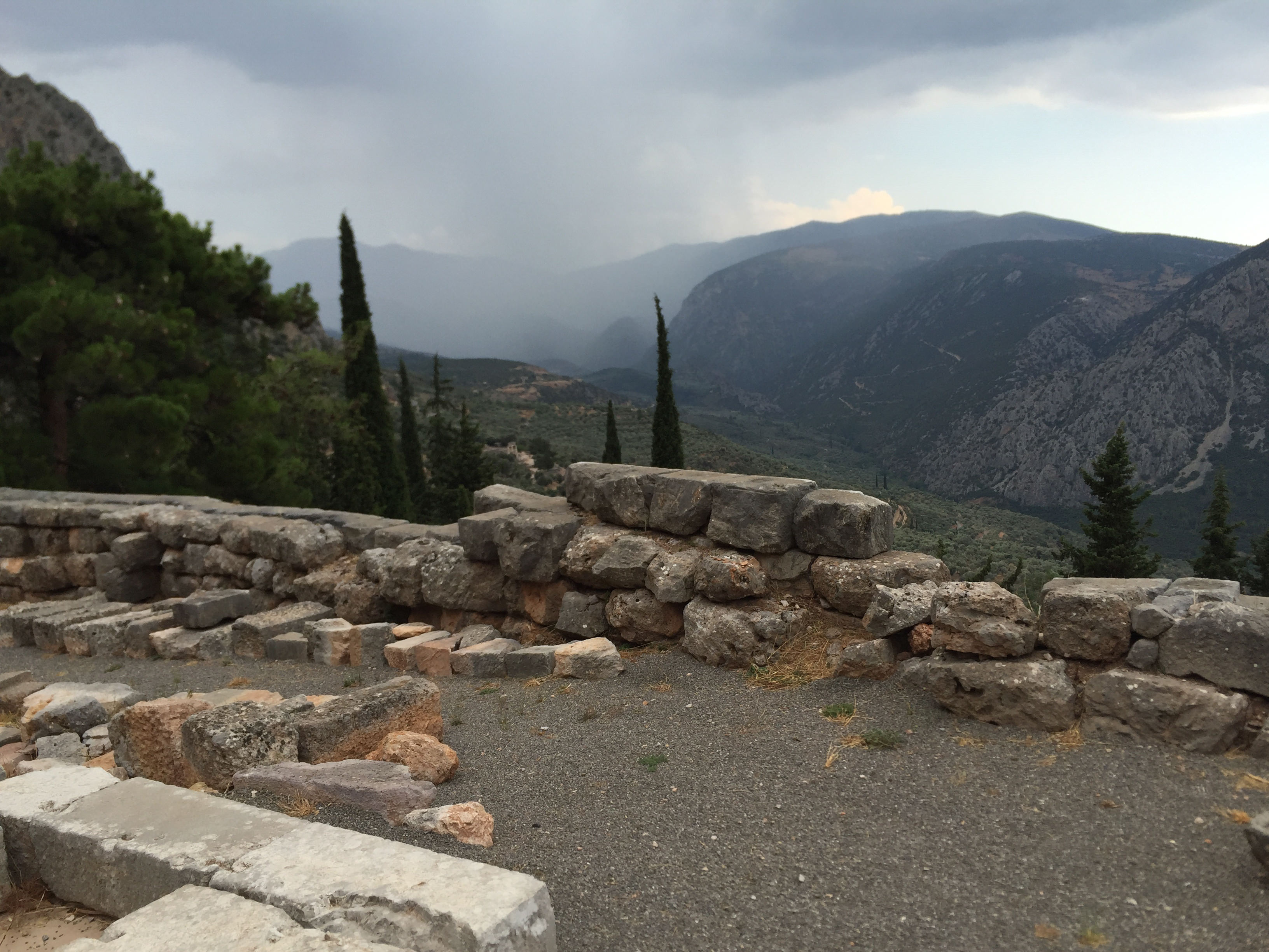
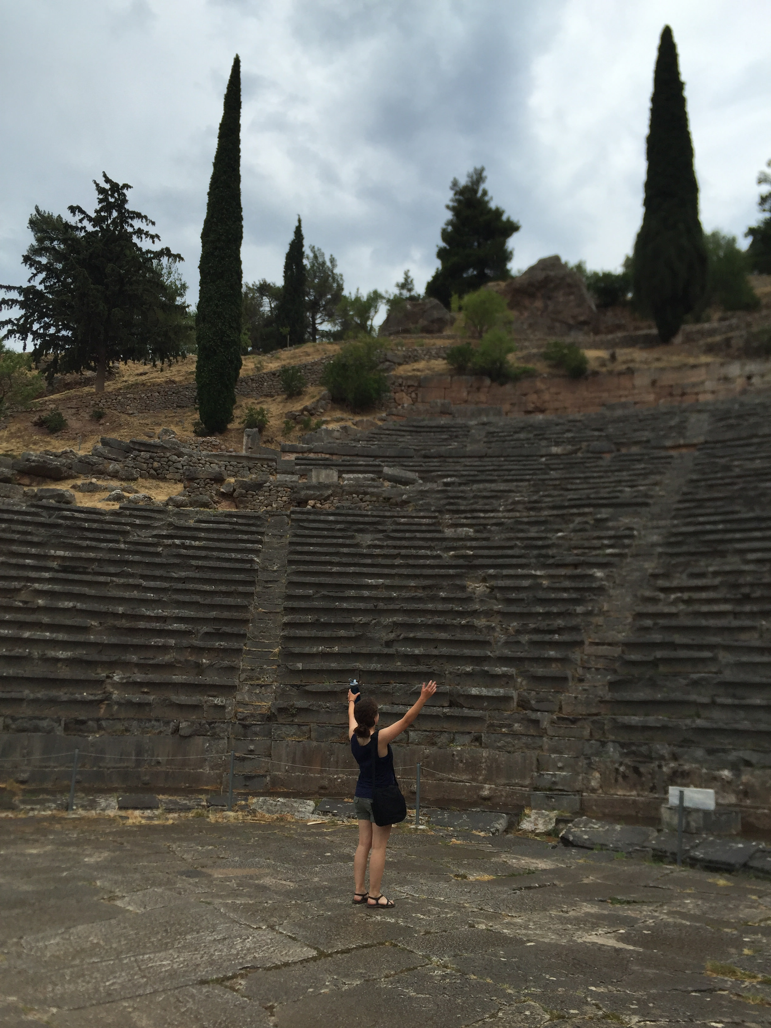
- MAP members were undeterred by a little rainstorm at Delphi!
-
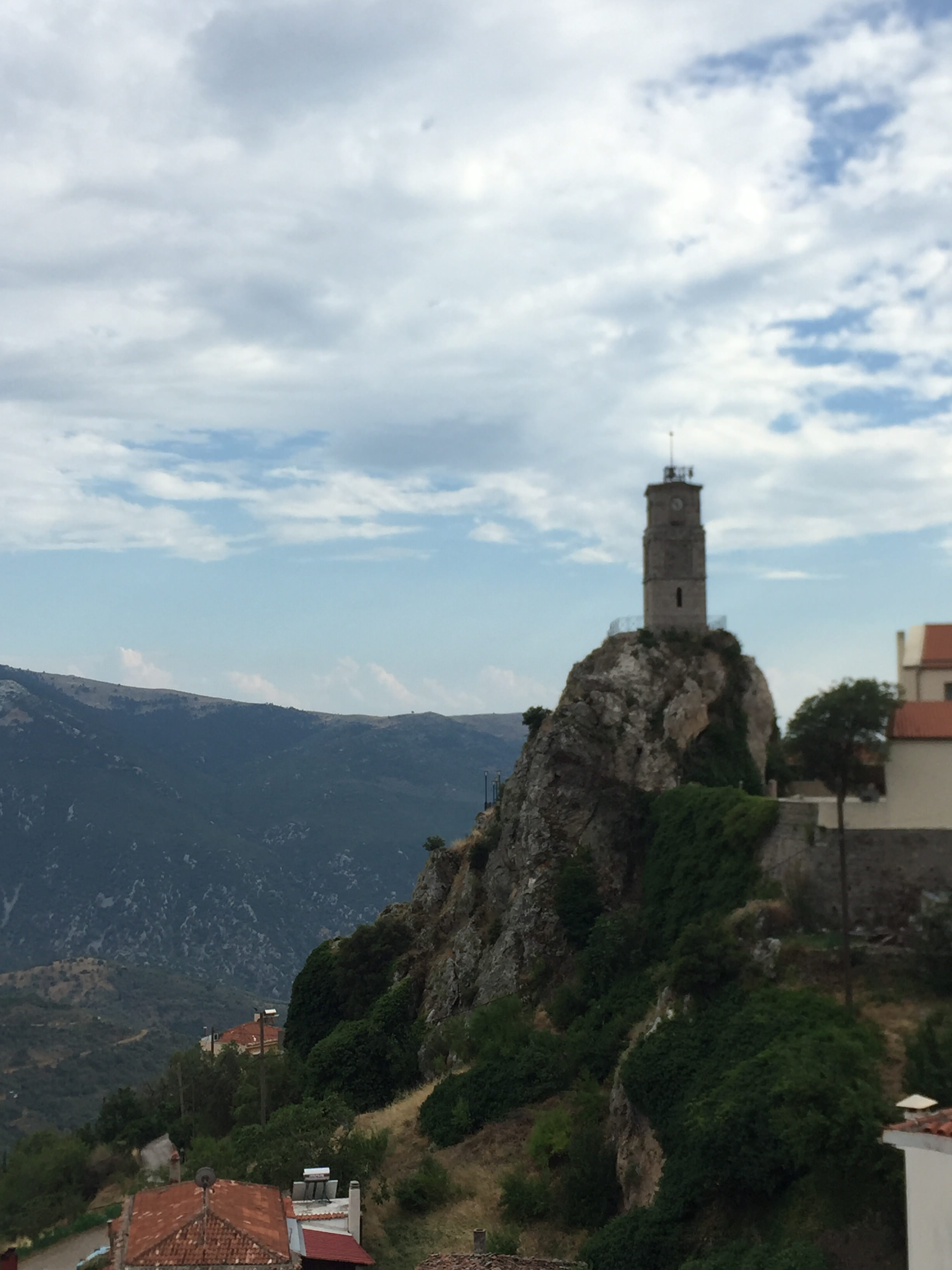
- The “Clock on the Rock” at Arachova
-
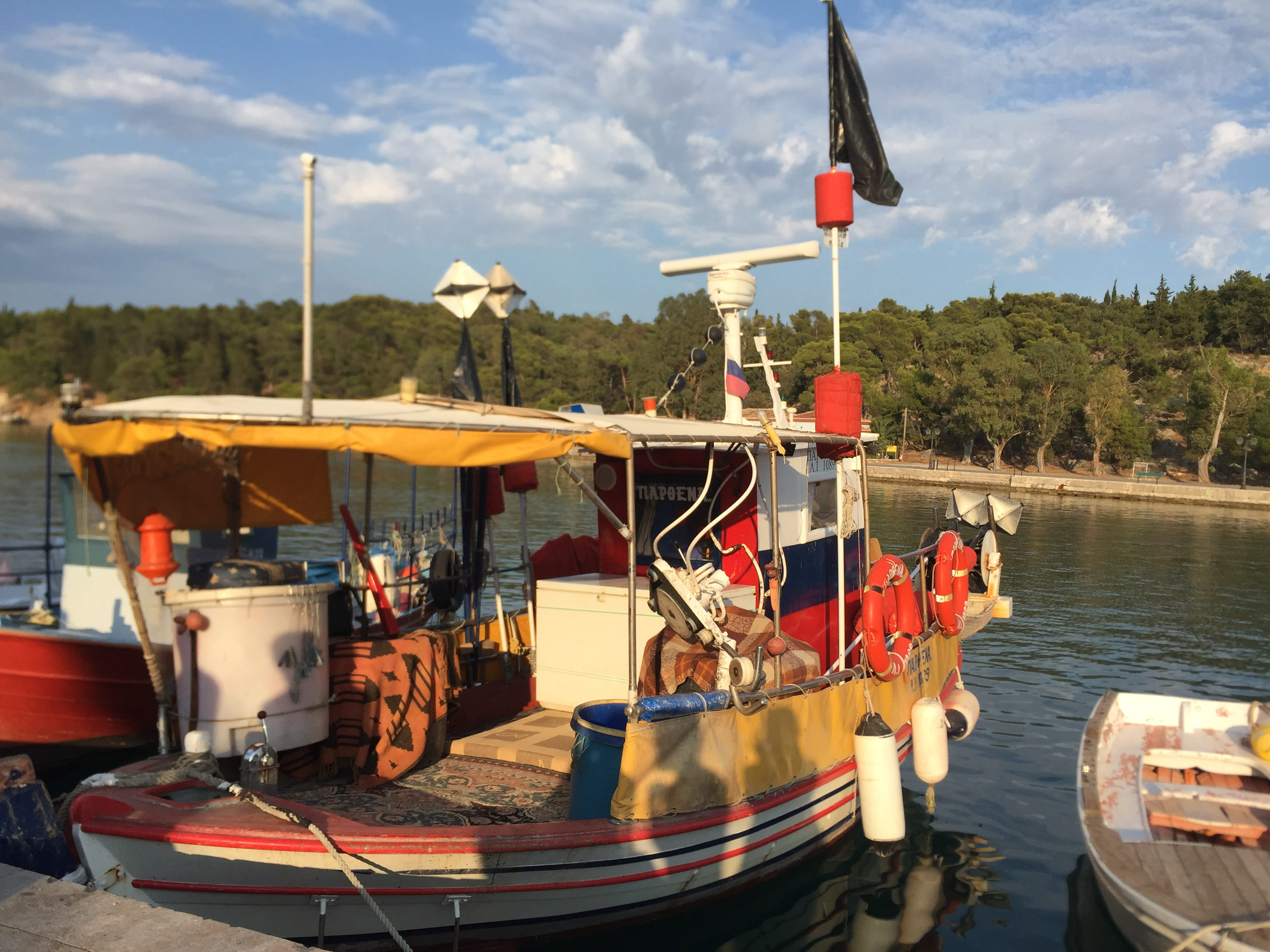
- Fishing boat in Galaxidi
-
- Julia Miller performing in the theater at Delphi
-
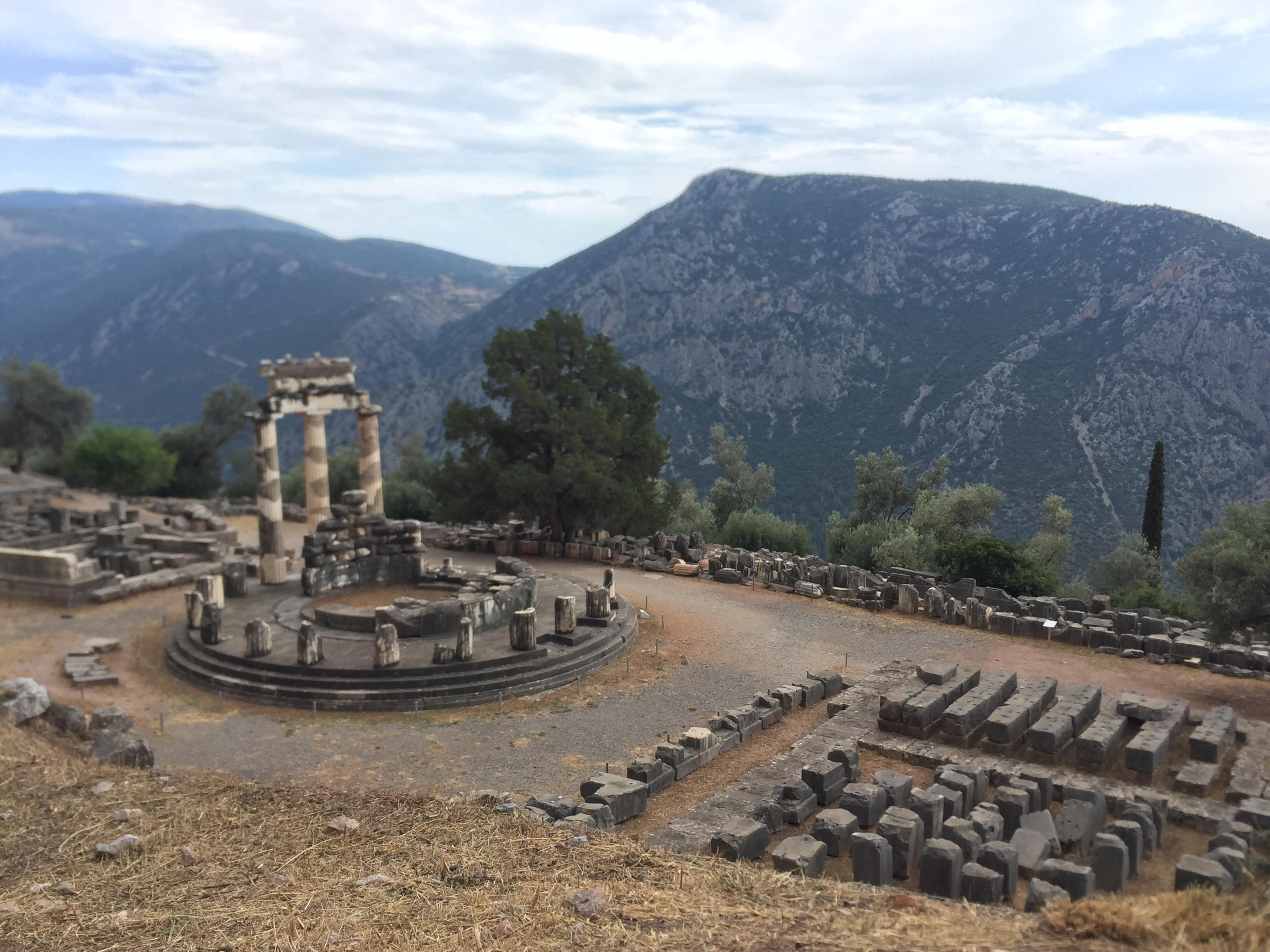
- View of the Tholos of Delphi
-
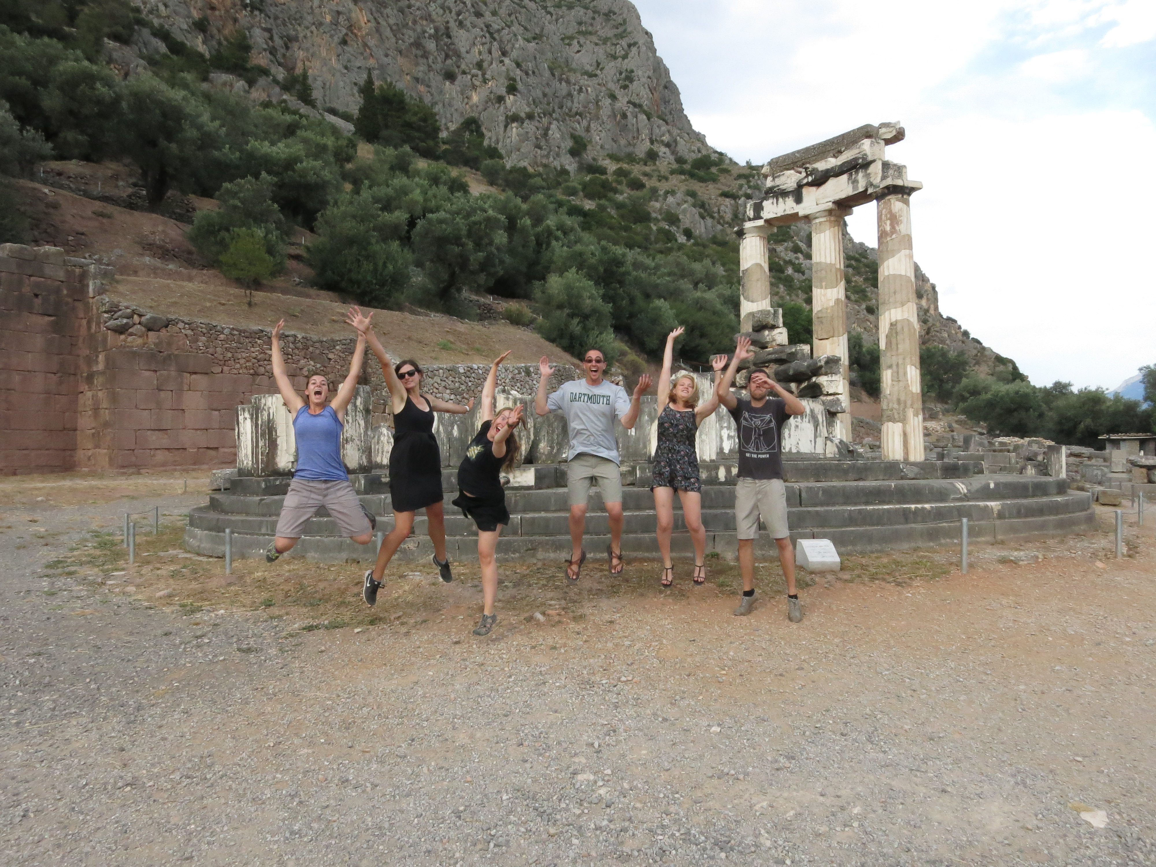
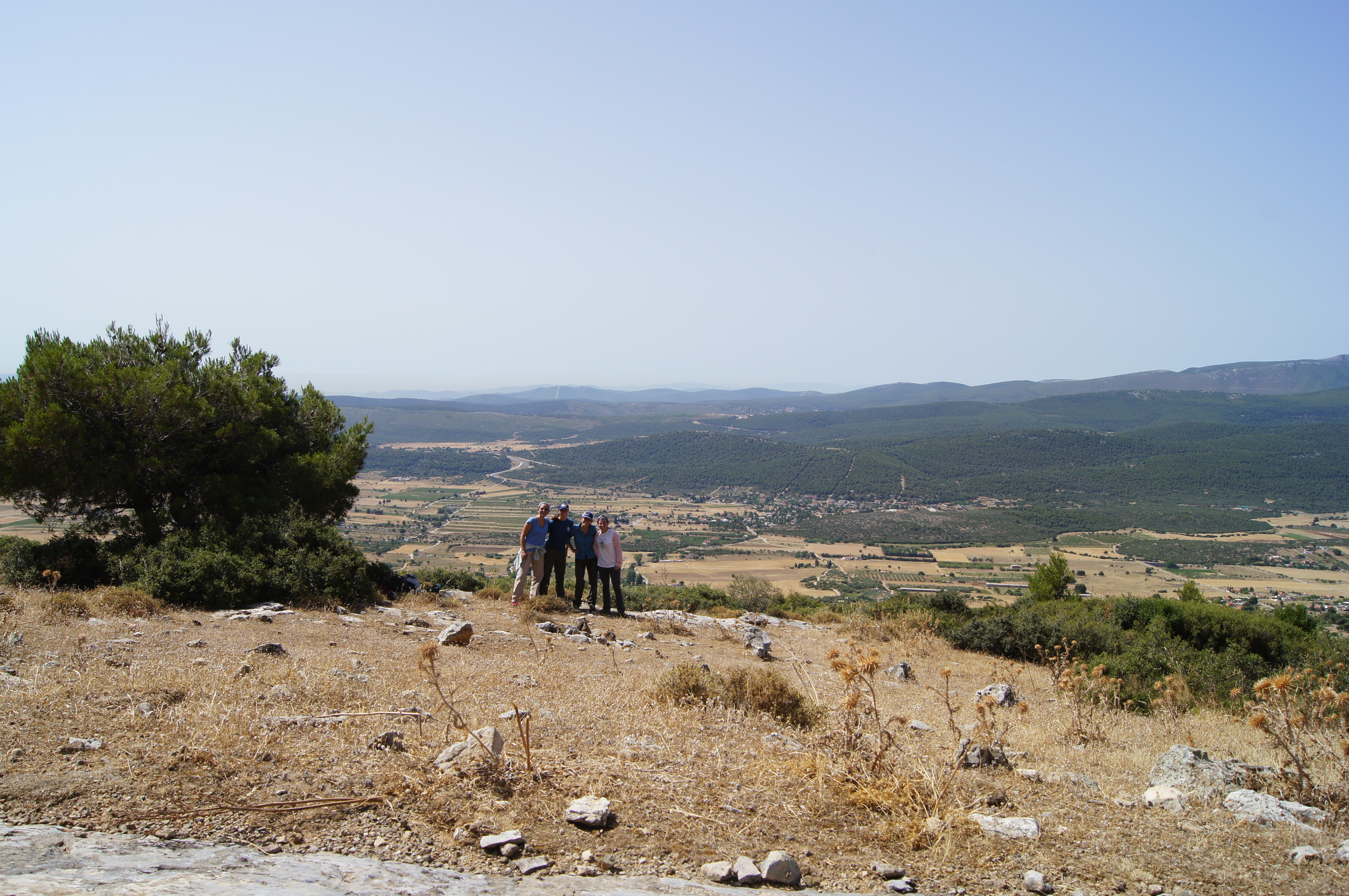
- Happy MAPpers at Delphi!
Week 4
-
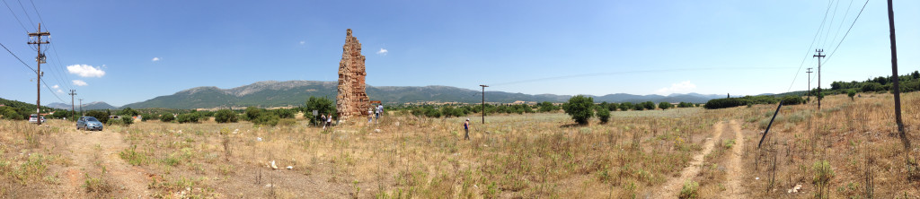
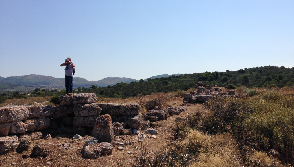
- Members of the team hiking up to the Velatouri Tower
-
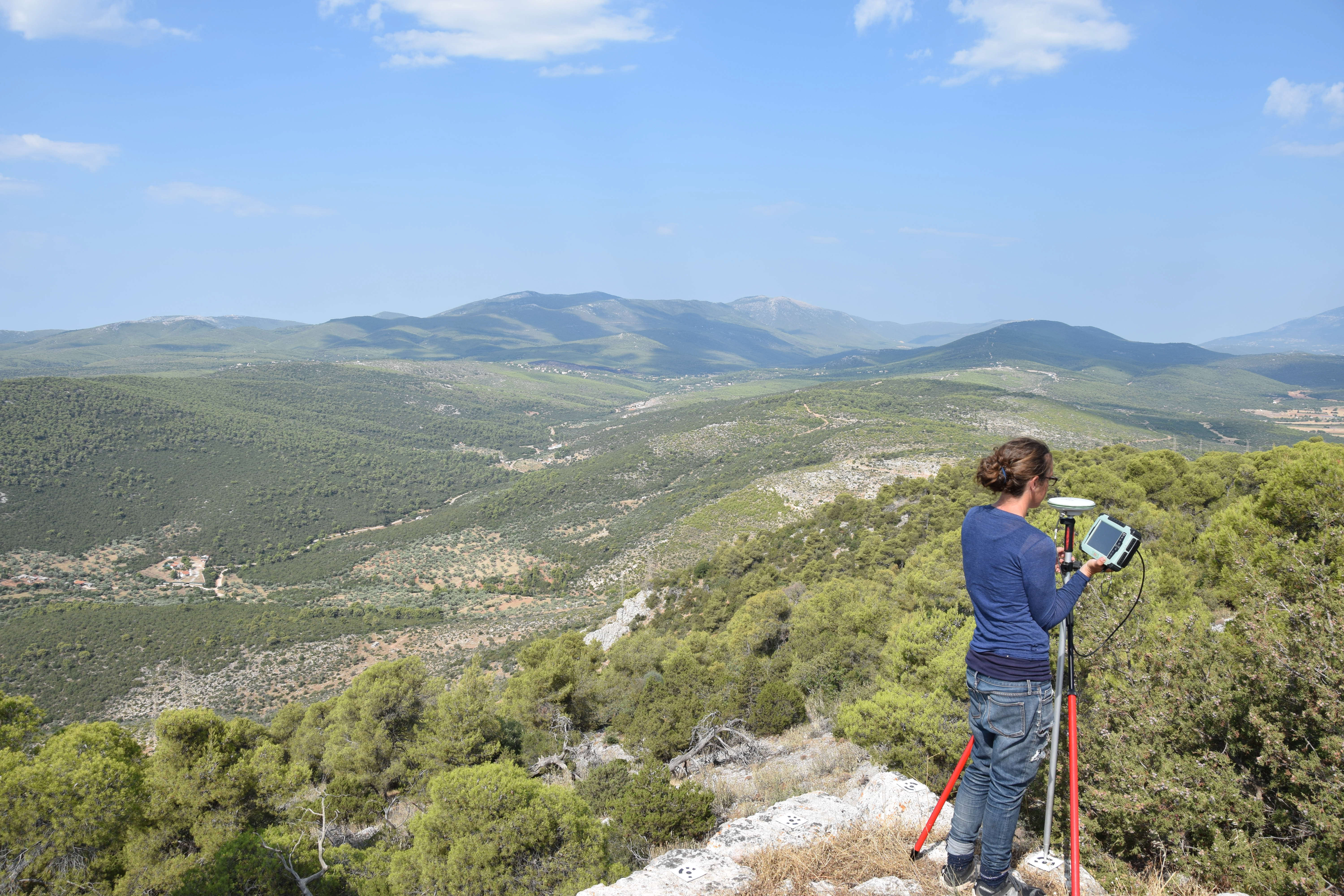
- Sarah Murray using the DGPS
-
- Michelle Berenfeld illustrating features in the field
-
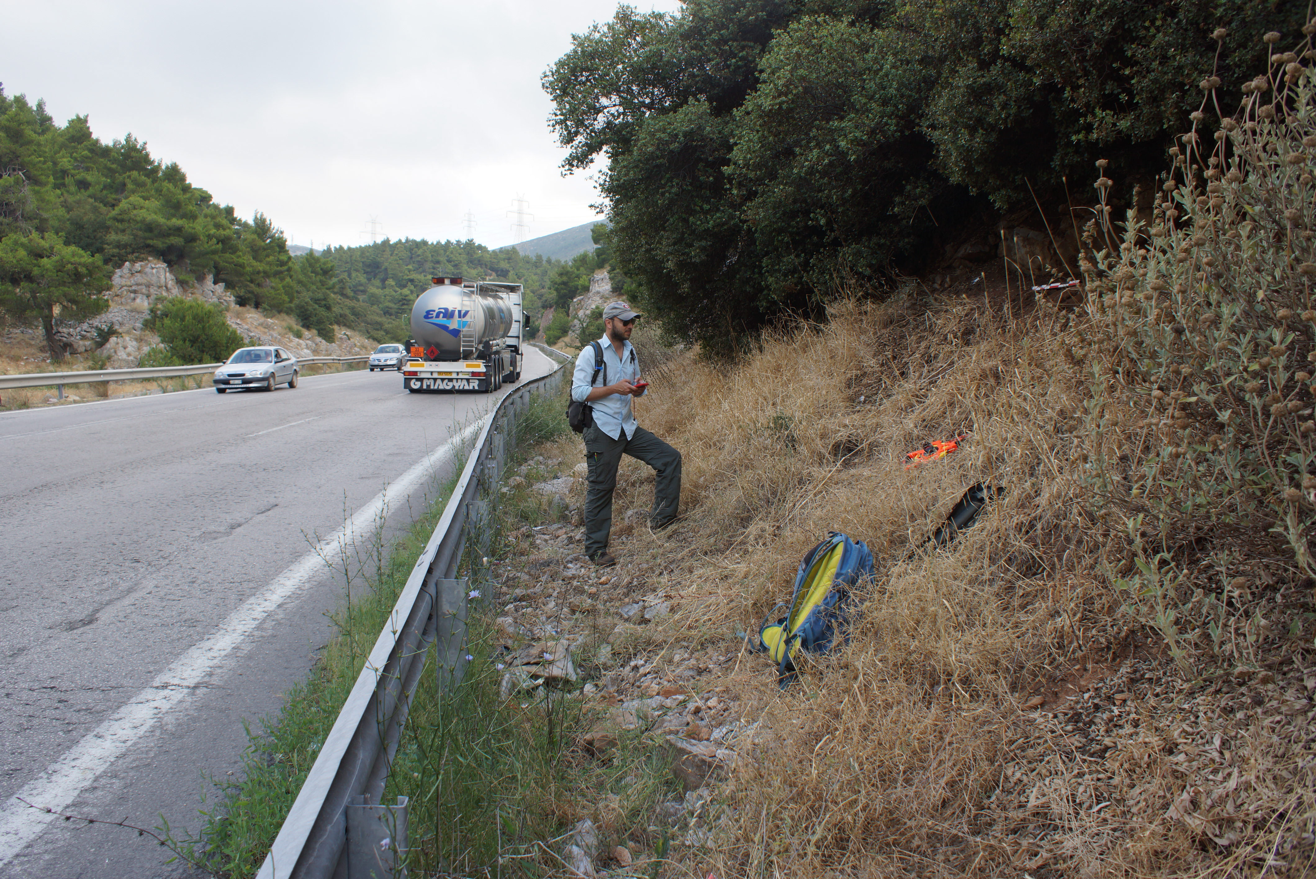
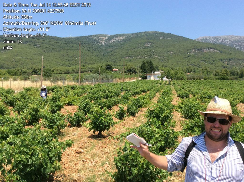
- Alex Knodell documenting a feature by the highway
-
- Sylvian Fachard lecturing the students of the second summer session of the American School of Classical Studies at Athens
-
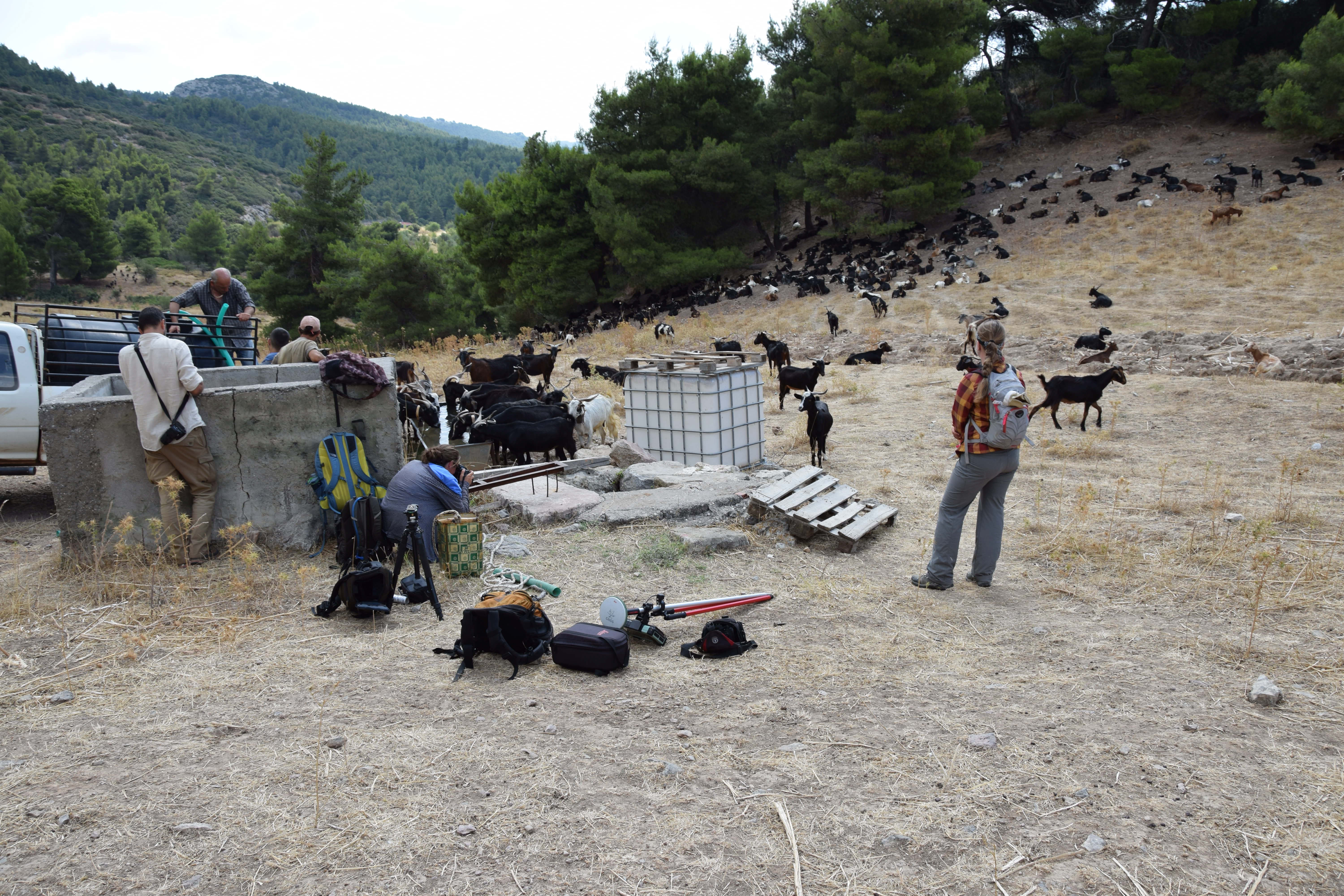
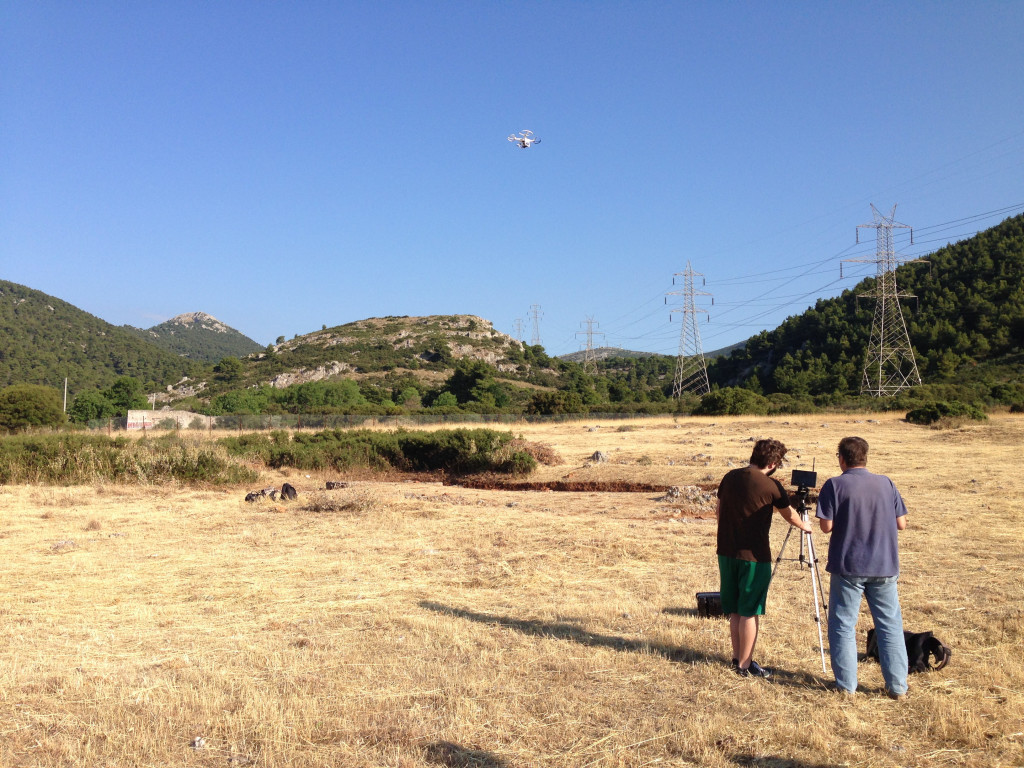
- Using photogrammetry on a well, in amongst the goats
-
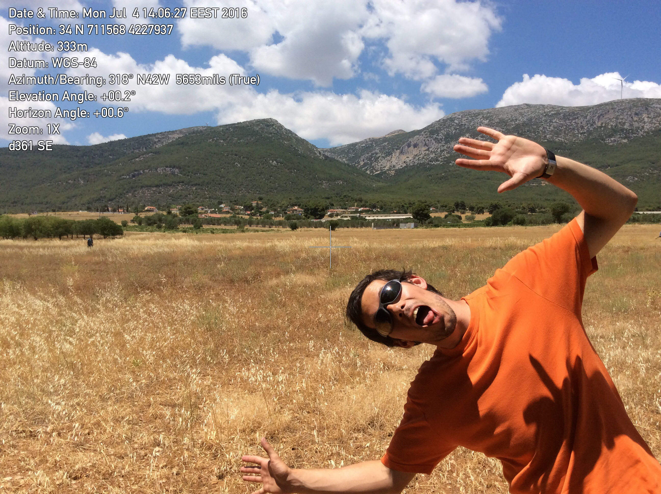
- Jean-Quentin Haefliger photobombing the survey unit photo!
-
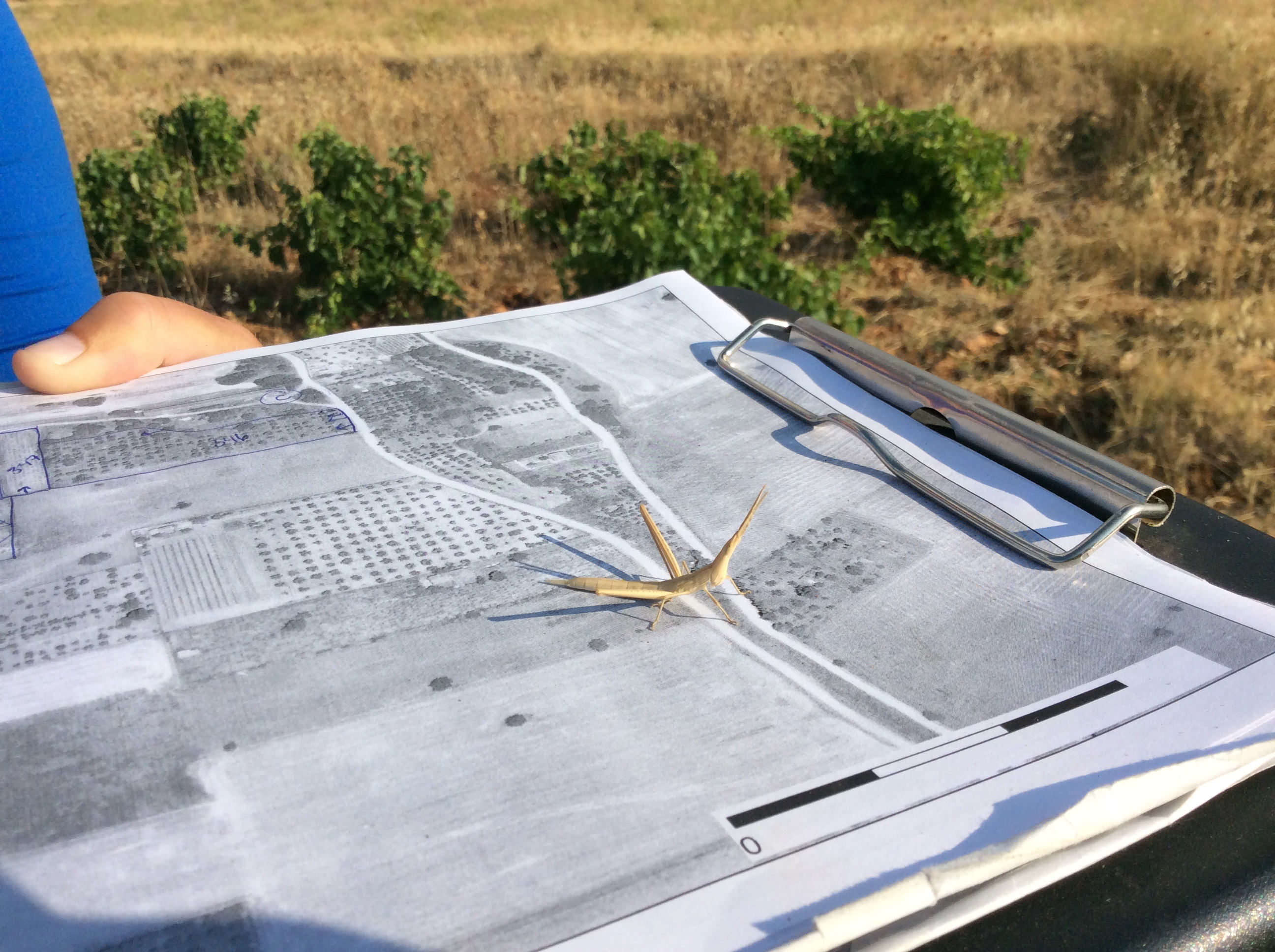
- A praying mantis getting in on the survey action
-
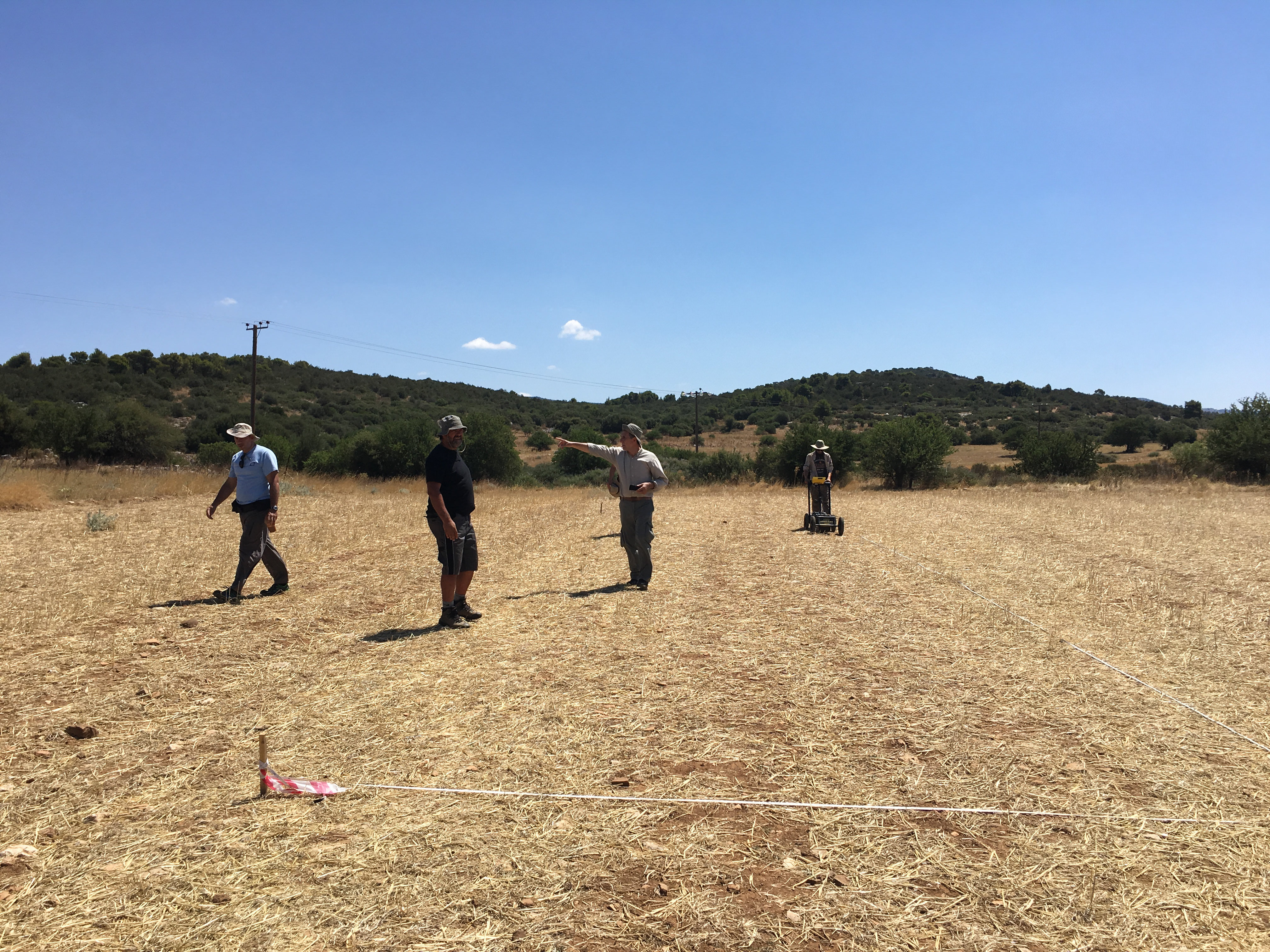
- Mitch Groninger and the geophysics team using ground penetrating radar at ancient Oinoe
-
- Liza Davis and Alex Claman assist the geophysics team with magnetometry
-
- Team D lining up for survey
-
- Sarah Murray leads a demonstration on Reflectance Transformation Imaging (RTI)
-
- Brandon Baker, Catherine Teitz, and Chris Cloke sifting through the hundreds of tiles at Aghios Demetrios
-
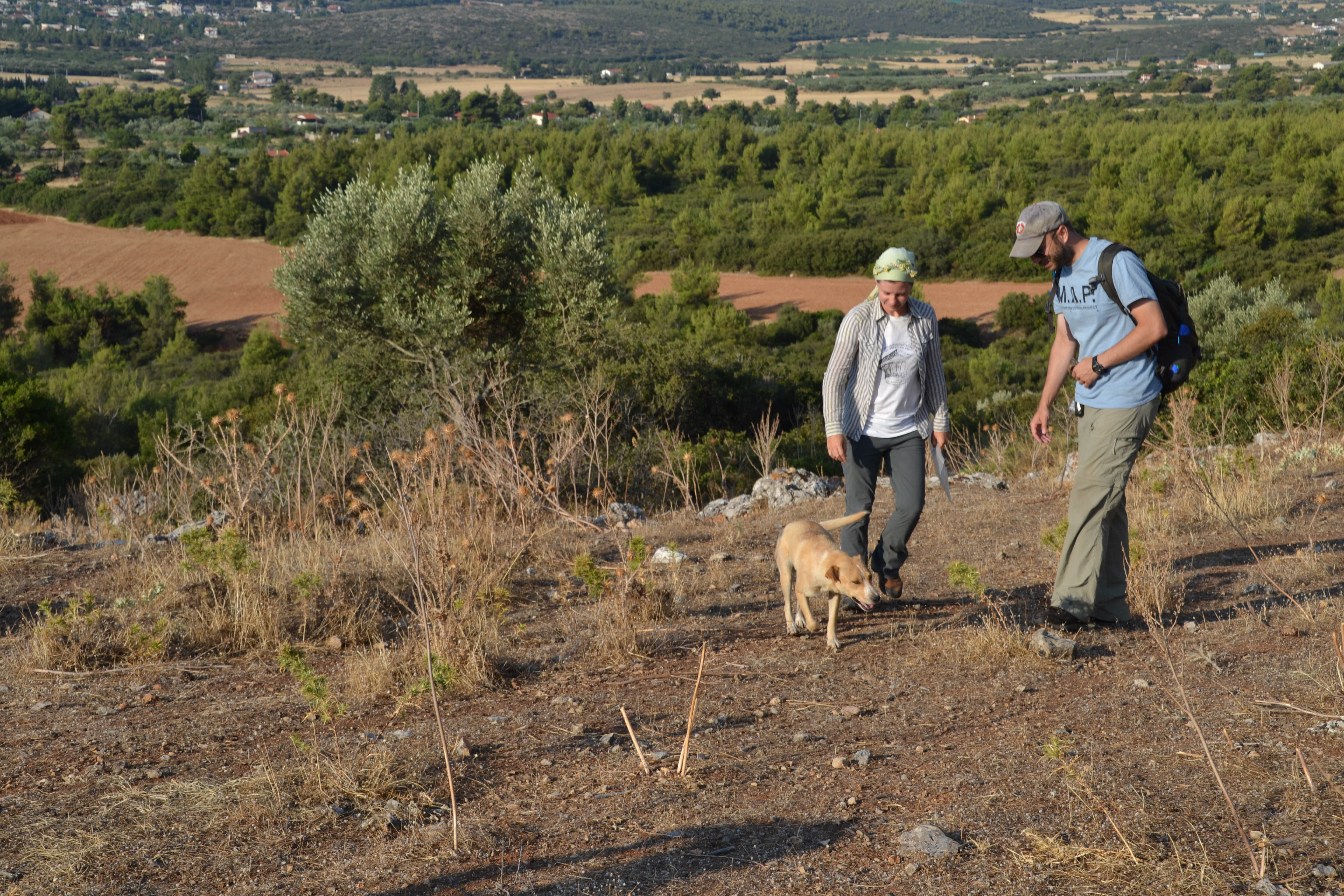
- Sarah Craft and Alex Knodell bond with one of the MAP team’s favorite dogs
-
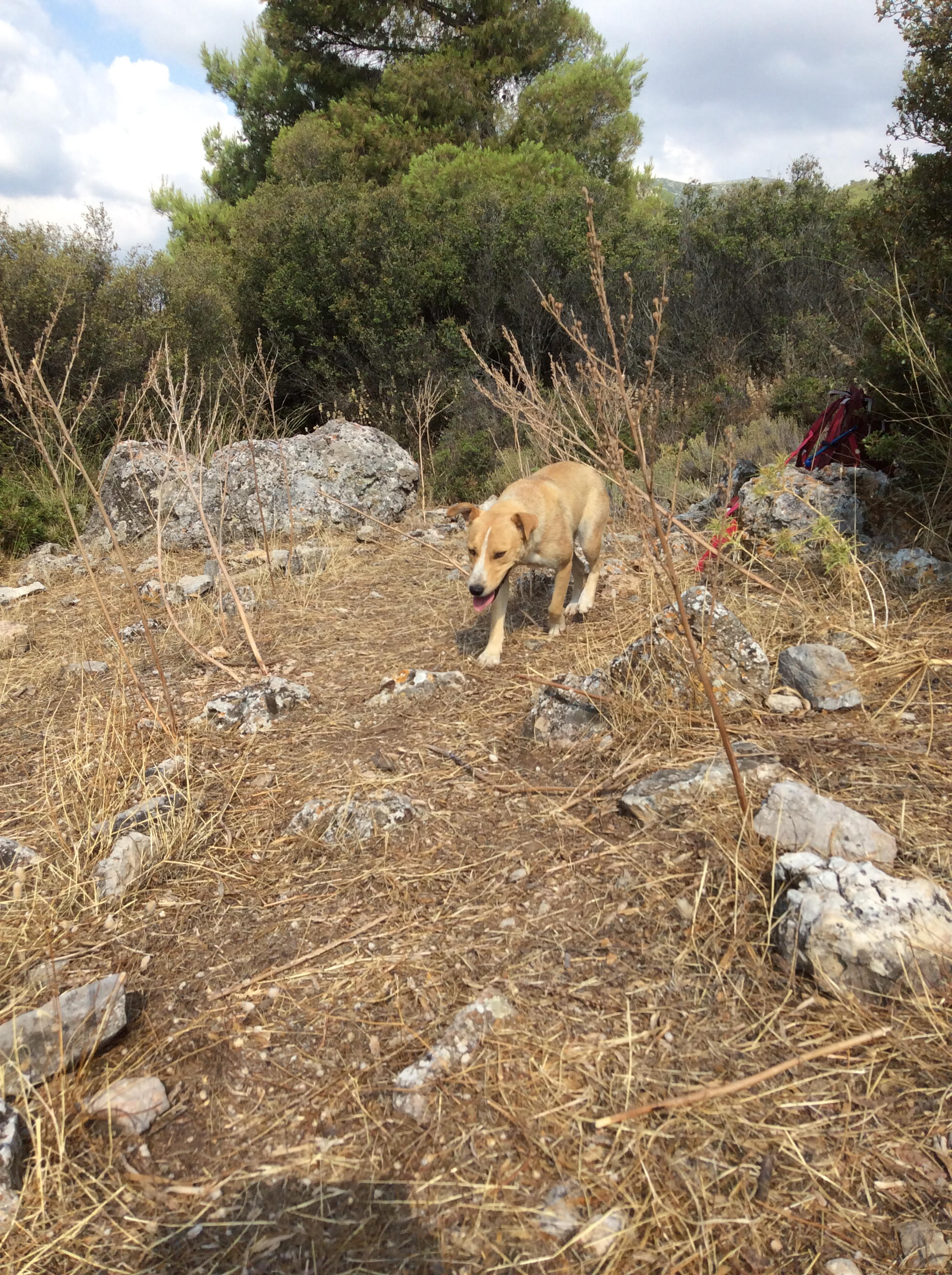
- The leader of the ‘canine survey division’–Effie
-
- Rebecca Salem and Catherine Teitz sorting tiles in the field
Photos from the 2015 Field Season
Week 1
-
- MAP 2015 Day 1: Orientation at Eleutherai
-
- Inside the walls of Eleutherai
-
- Taking a little walk around the circuit of Elutherai
-
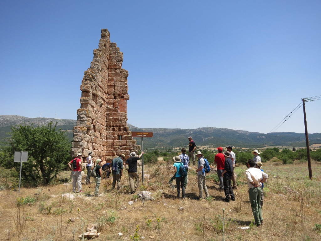
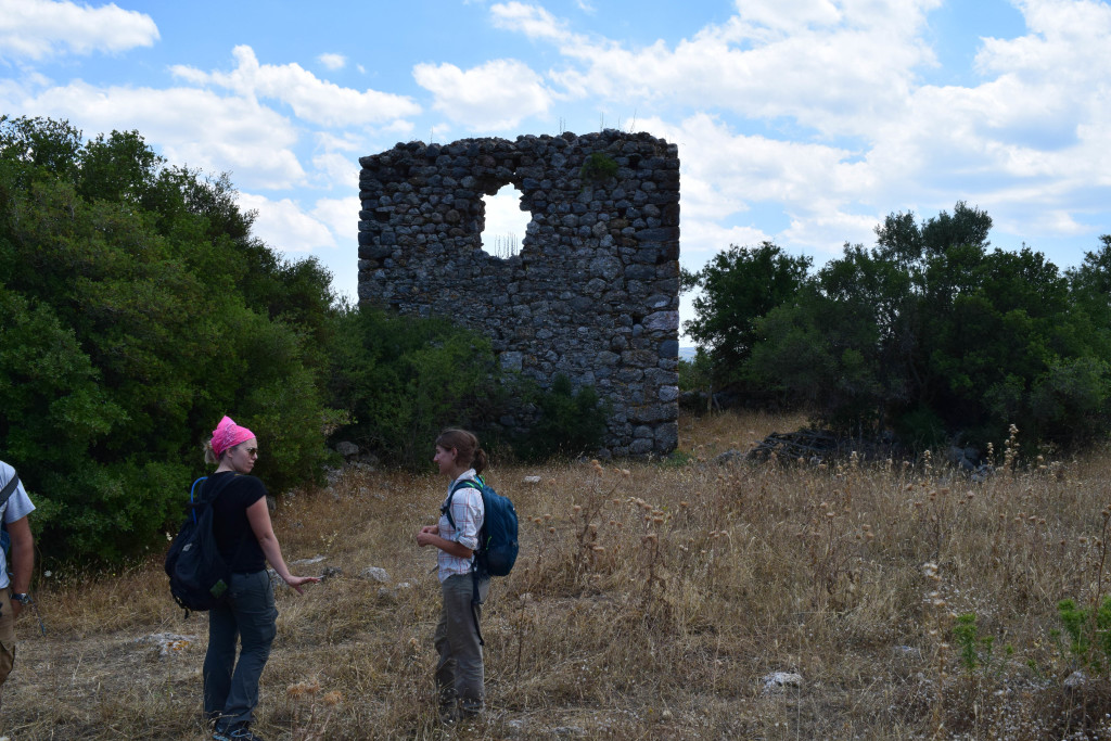
- Checking out the Mazi Tower
-
- Clouds gather over the Mazi Plain
-
- Taking shelter from the rain
-
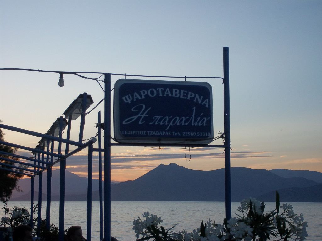
- Our favorite Alepochori restaurant
-
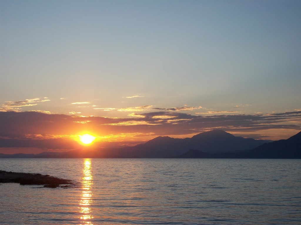
- Sunset from the Paralia
-
- Theodolite photo of Team b in action
-
- Team c moves on to the next field
-
- Team e confers at the end of a survey unit
-
- Team e considers their next move
-
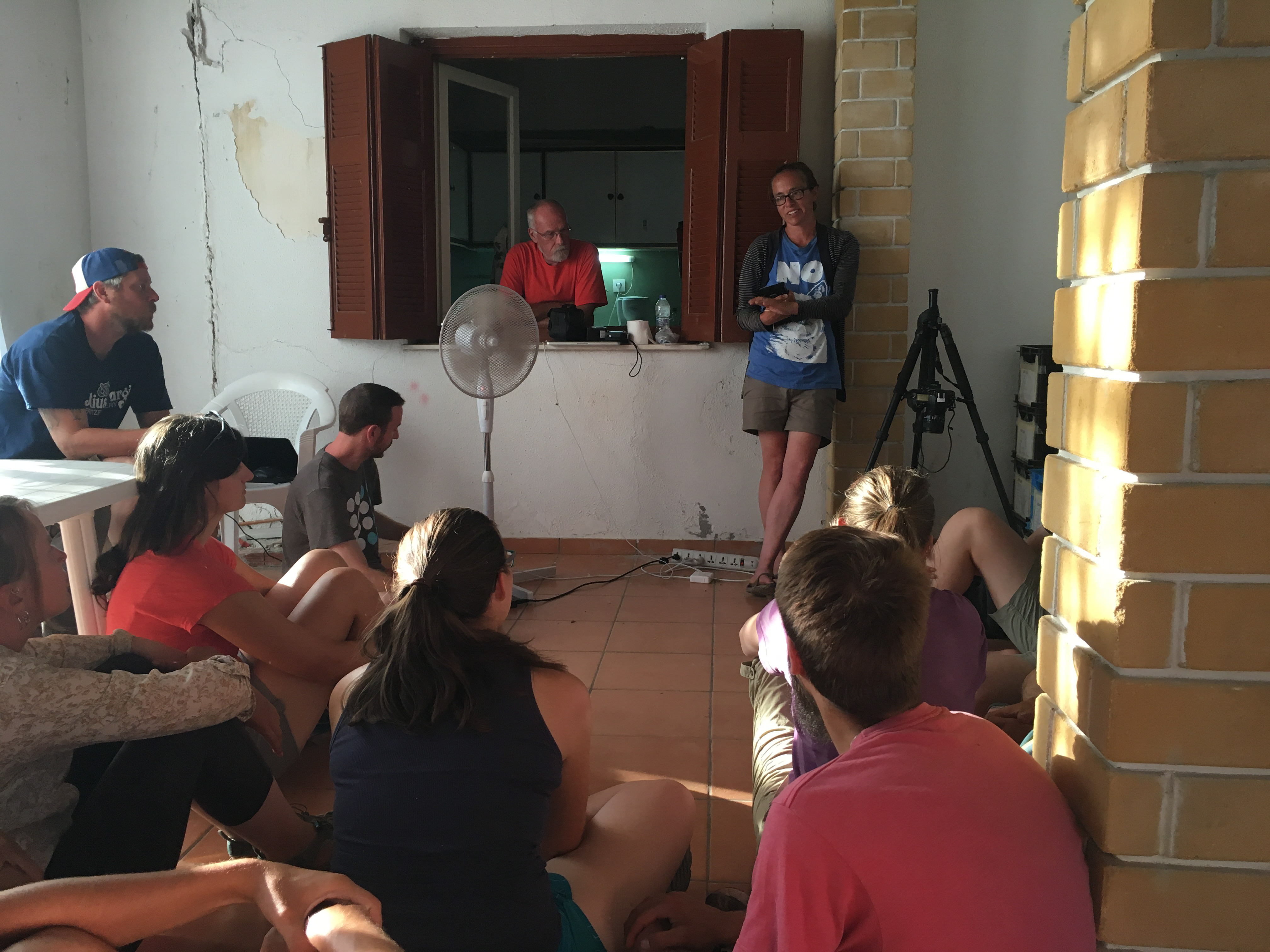
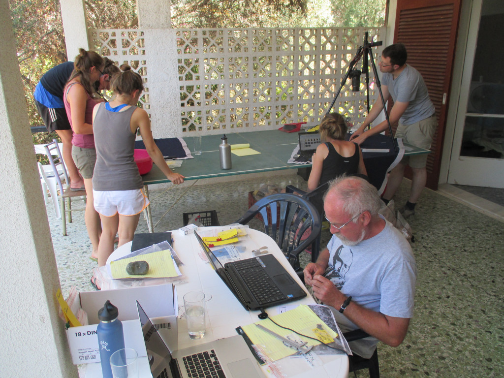
- Pottery analysis and discussion back at base
Week 2
-
- Week 2: “There’s something on the horizon…”
-
- The American School of Classical Studies at Athens Summer Session 1 visits MAP
-
- Group visit to Aigosthina
-
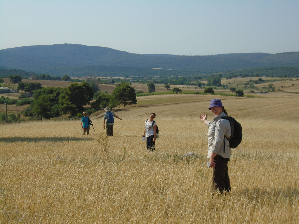
- Fieldwalking
-
- Fotini Kondyli and Liza Davis discuss life in the Byzantine and Frankish periods
Week 3
-
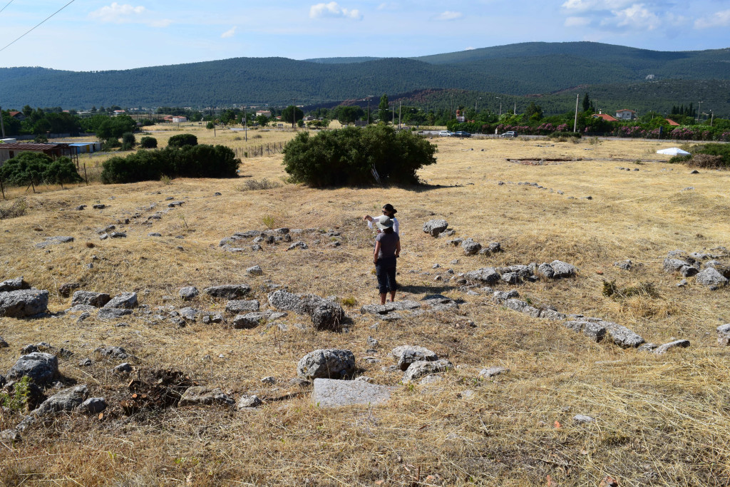
- Investigating the Eleutherae settlement
-
- Team c in action
-
- Hello from the b team
-
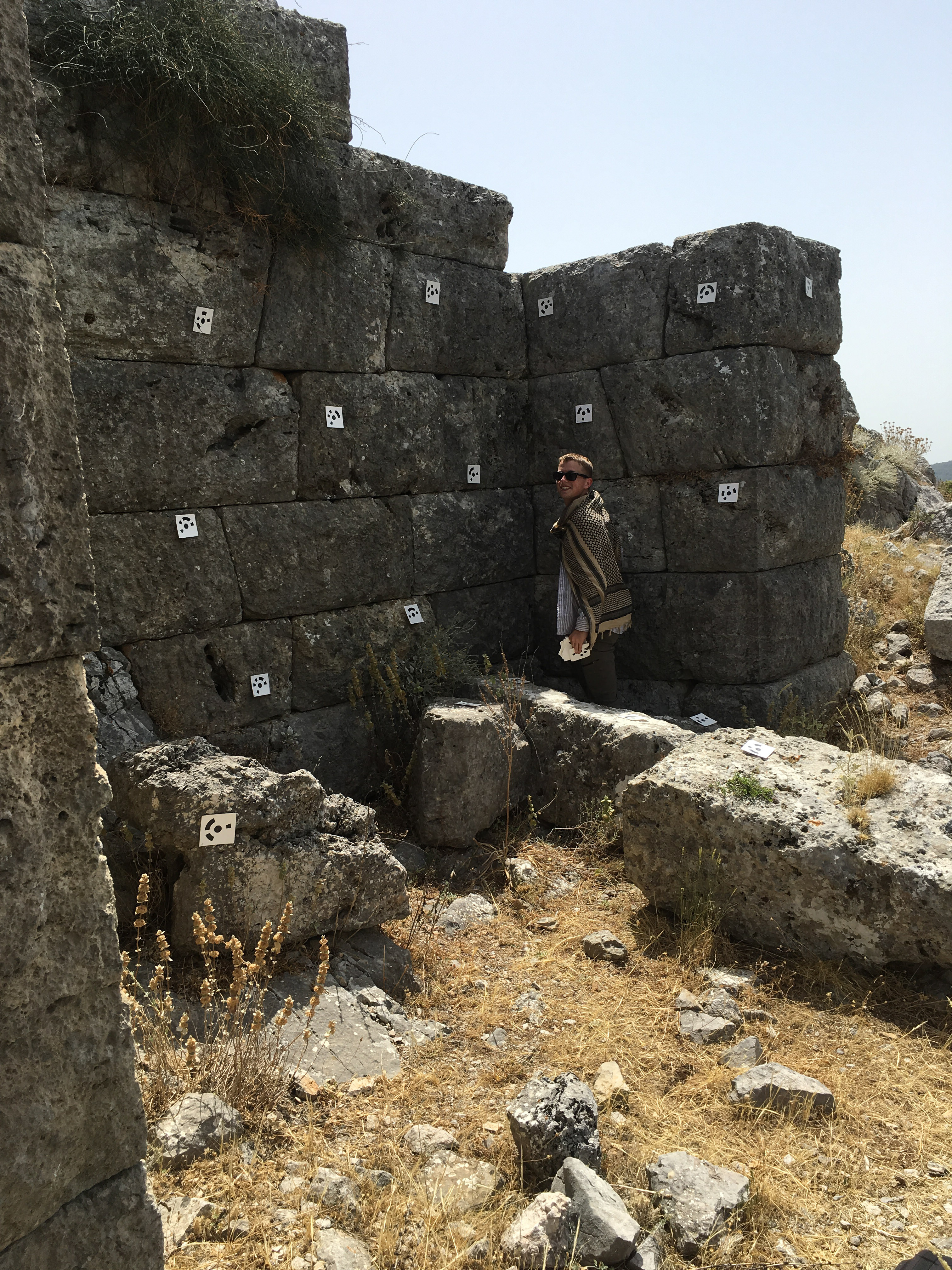
- Sarah, Martin, and Brian place photogrammetry targets in the Eleutherai curtain wall
-
- Drone photography at the Eleutherai settlement (fortress in background)
-
- Team e lines up for fieldwalking
A “Long Weekend” trip to the Argolid
-
- On the starting line at Isthmia
-
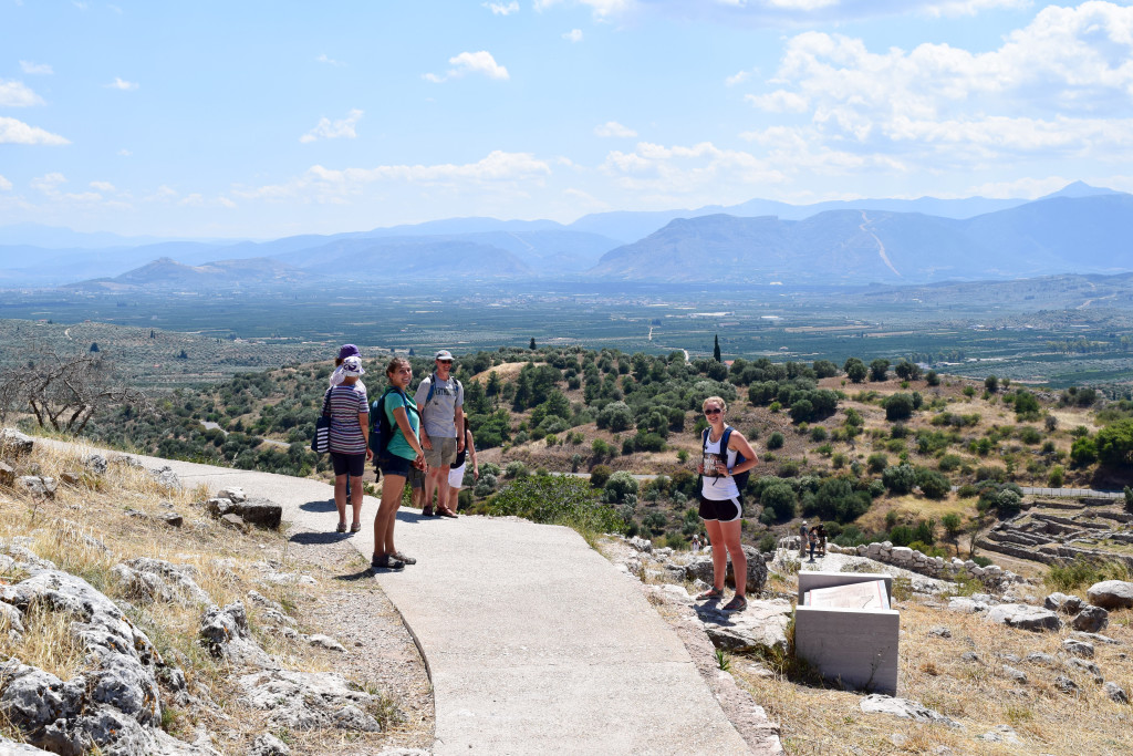
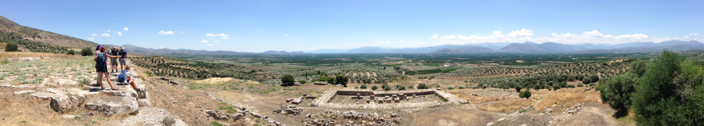
- The Argive plain from Mycenae
-
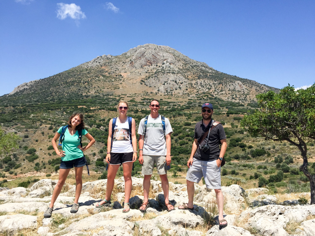
- At the top of Mycanae
-
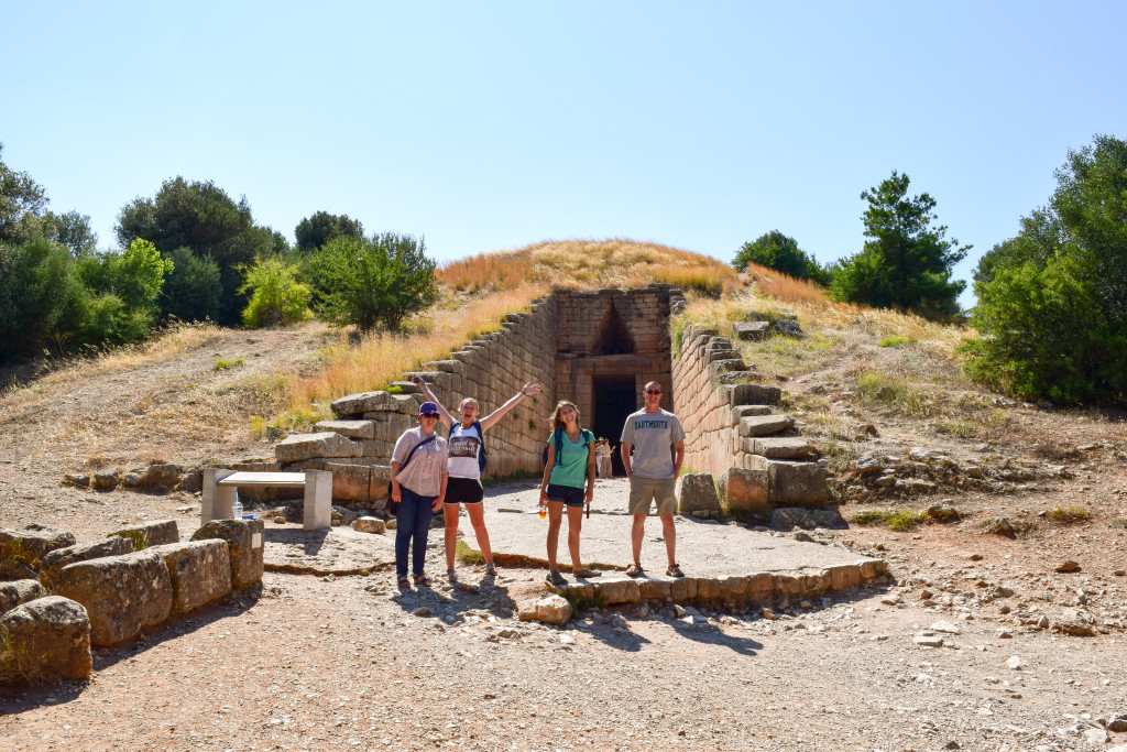
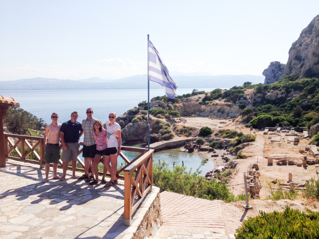
- The Treasury of Atreus
-
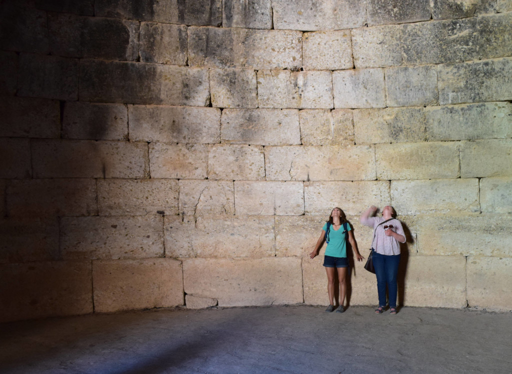
- Admiring the view inside the Treasury of Atreus
-
- Corbeled vaulting at its finest: Tiryns
-
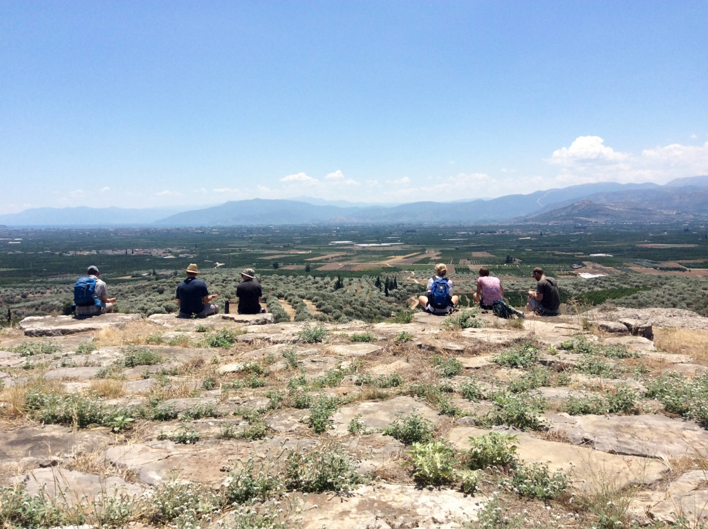
- Enjoying the view at the Argive Heraion
-
- Perachora
Week 4
-
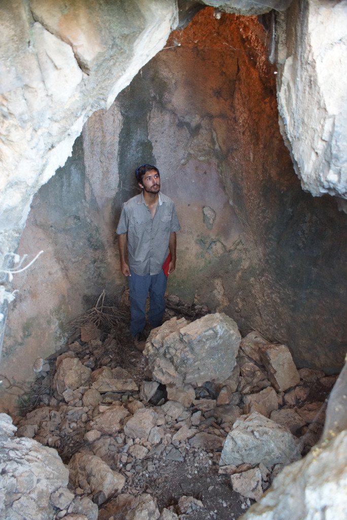
- Helena in search of Antiope’s Cave
-

- Antiope’s cave
-
- Syl and brandon emerge from the woods after a day of extensive survey…
-
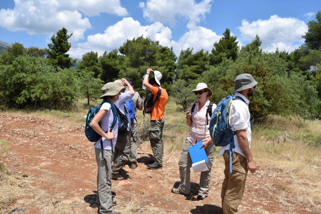
- Maeve discusses Team b findings
-
- Team visit to Aghia Paraskevi
-
- The Medieval tower in Area b
-
- Sarah discusses Team b’s discoveries
-
- Mark discusses Team e’s work
-
- Syl talks about the Eleutherai settlement at the Temple of Dionysos
Week 5
-
- Maeve and Katerina are in good spirits for the final week of the project!
-
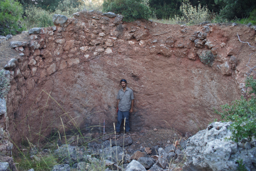
- Sarah surveys the Mordor-like landscape of a newly discovered site
-
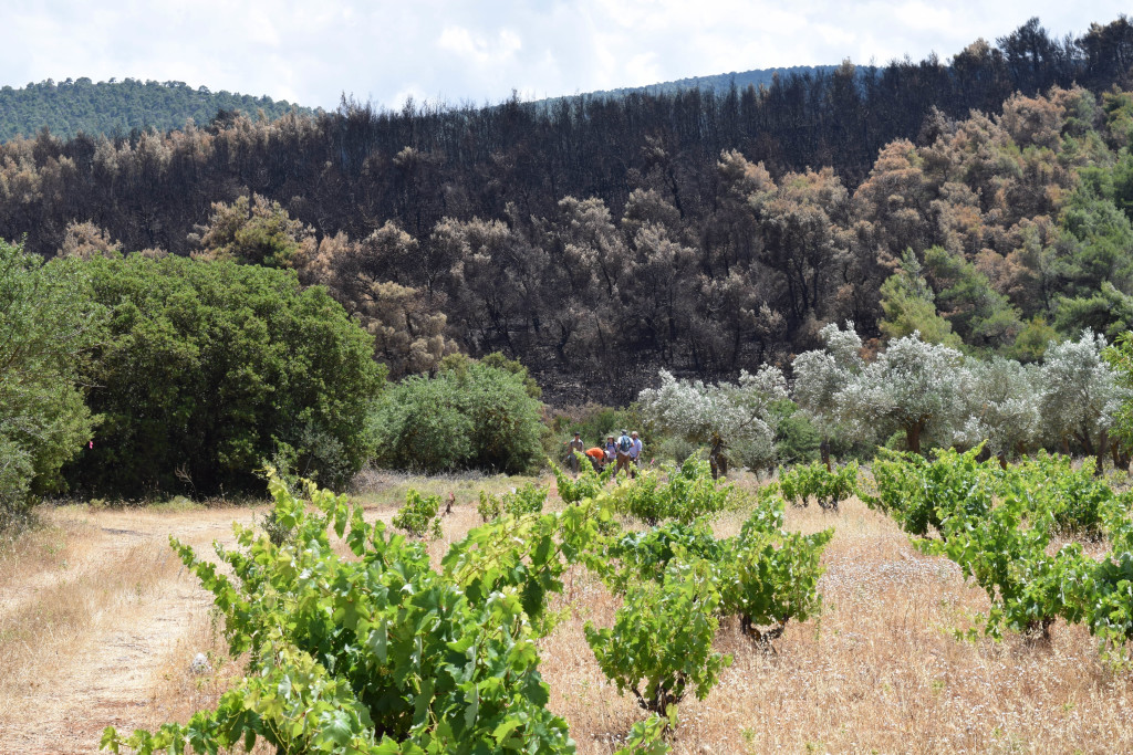
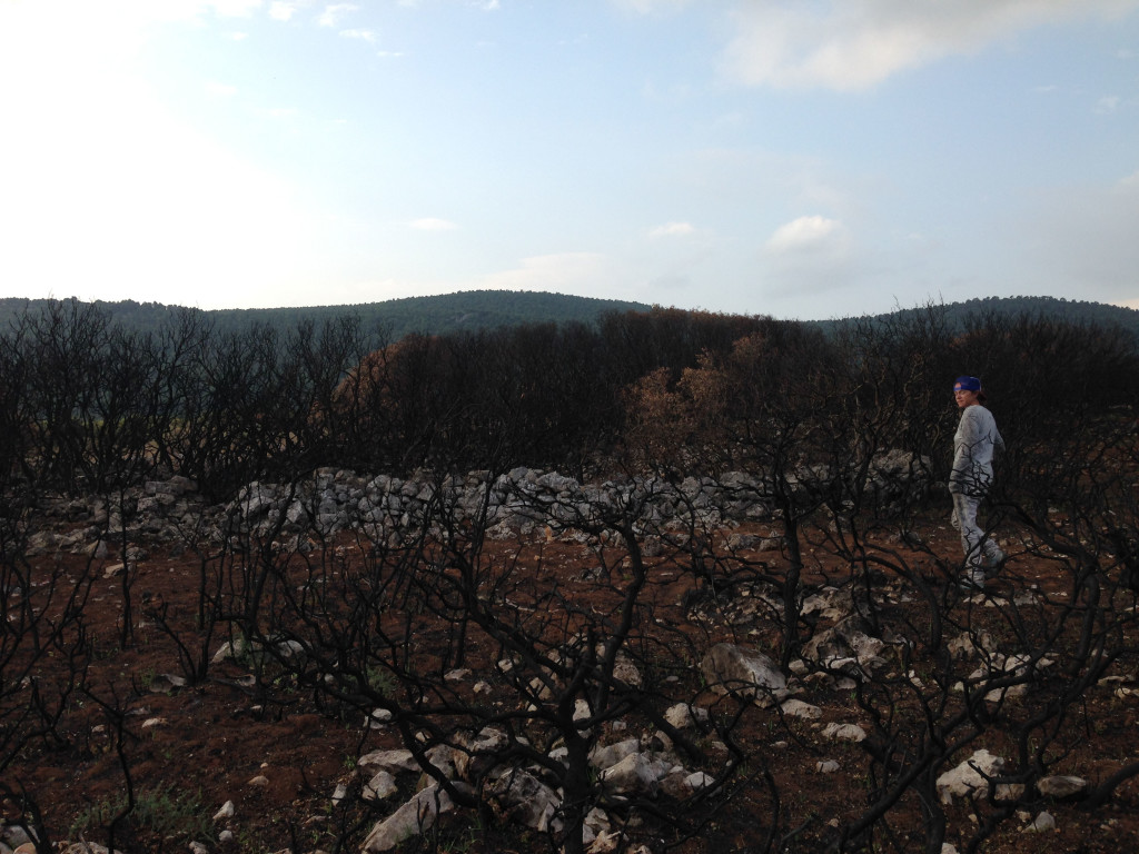
- Sarah returns to base after a day in the fire-ravaged maquis
-
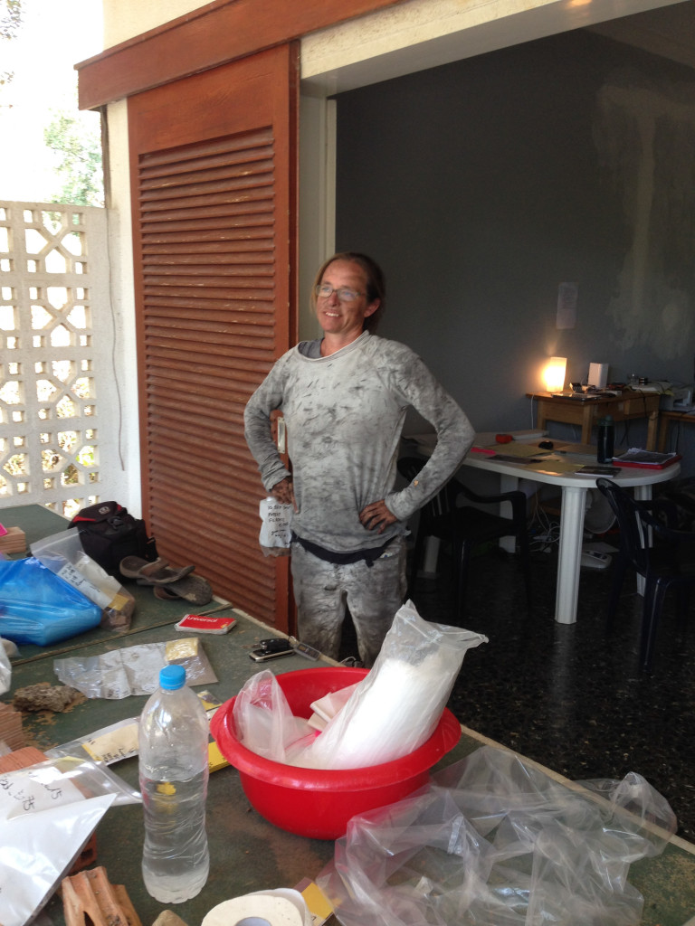
- No scale bar? Use Brandon…
-
- Brandon for scale
-
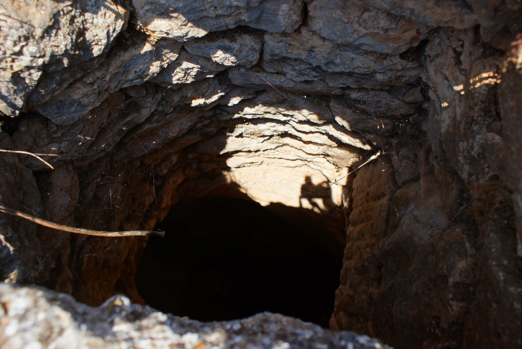
- Shadows and lighting present constant challenges when photographing wells
-
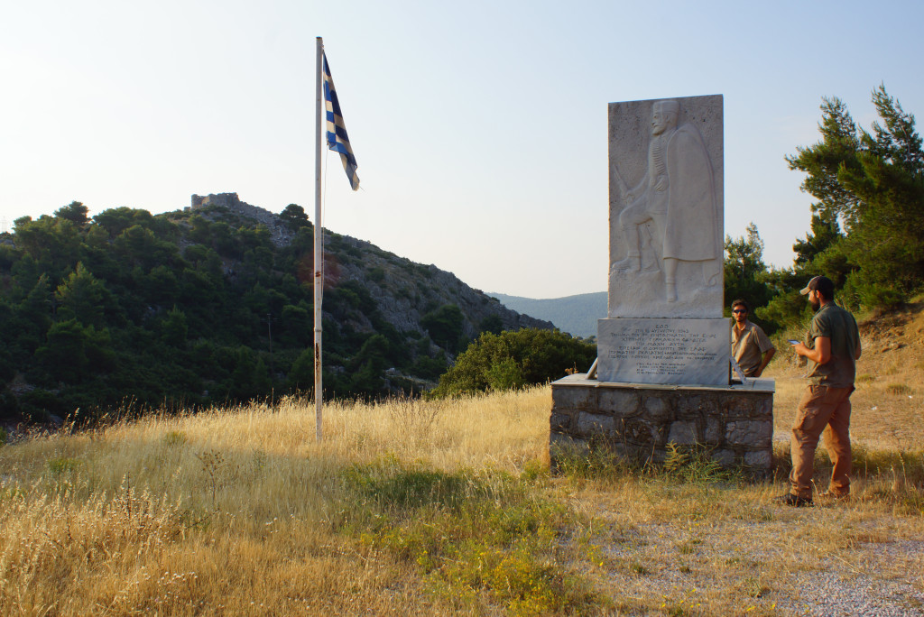
- A World War 2 memorial at the foot of the Kaza Pass, opposite Eleutherai
-
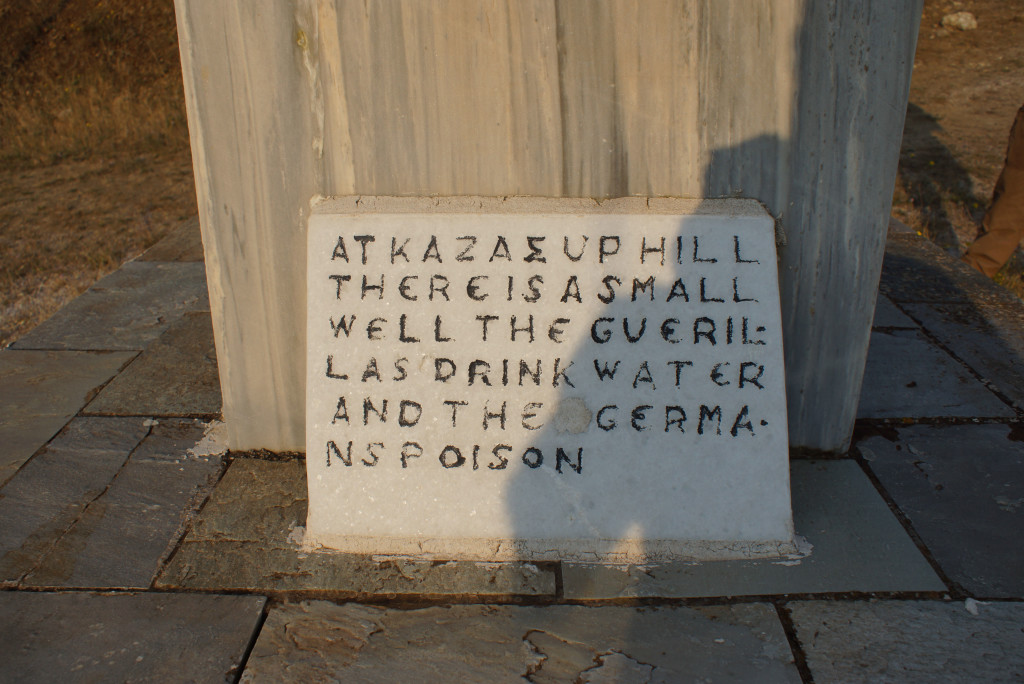
- The memorial’s caption in translation
-
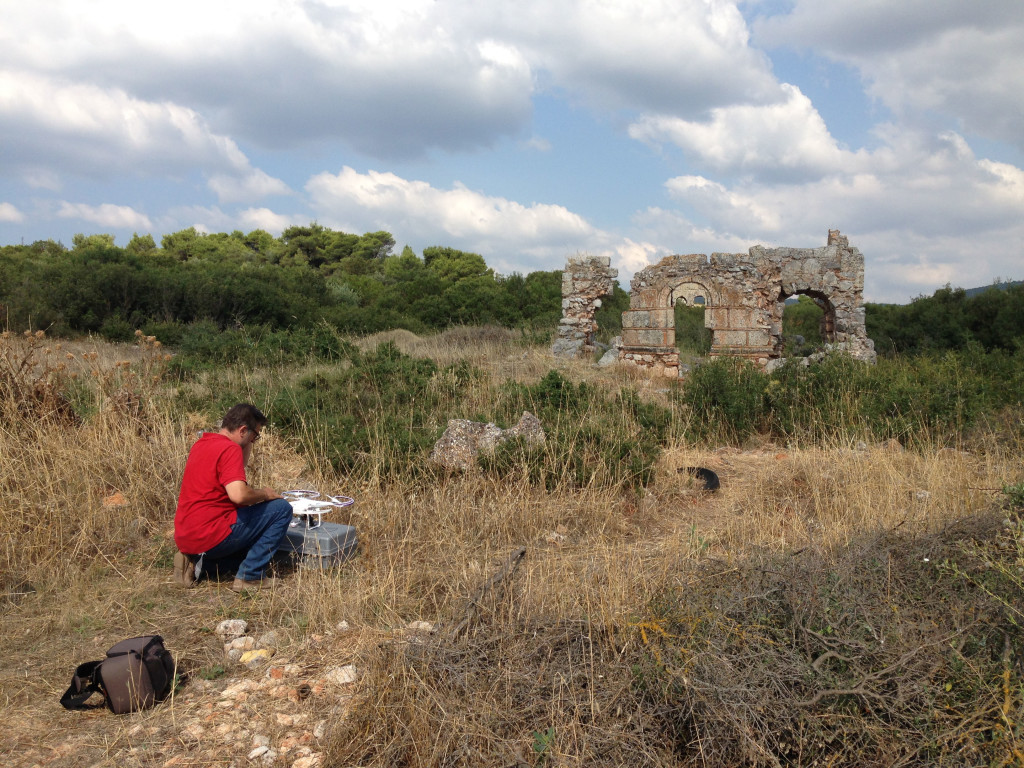
- Giannis prepares the drone for aerial photography at the church of Aghia Paraskevi
-
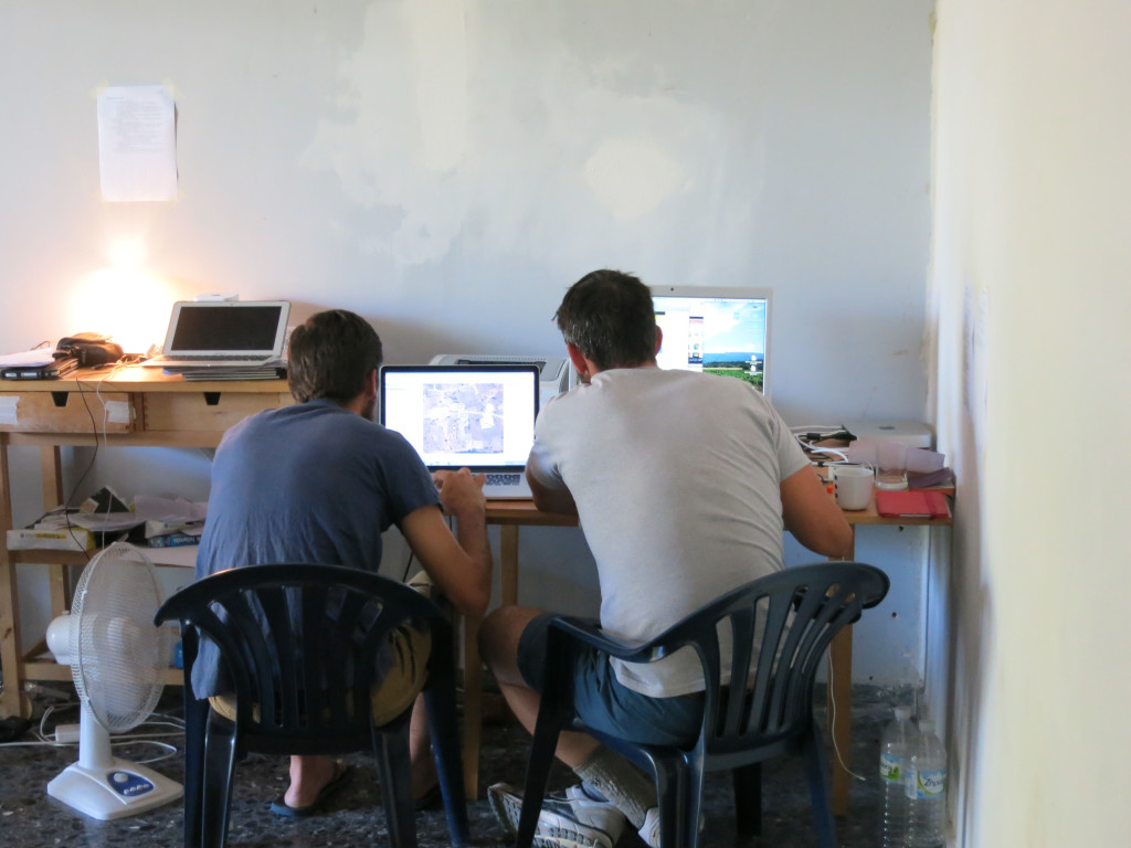
- Evan and Brandon work on the project GIS
-
- The geology team arrives in the field
-
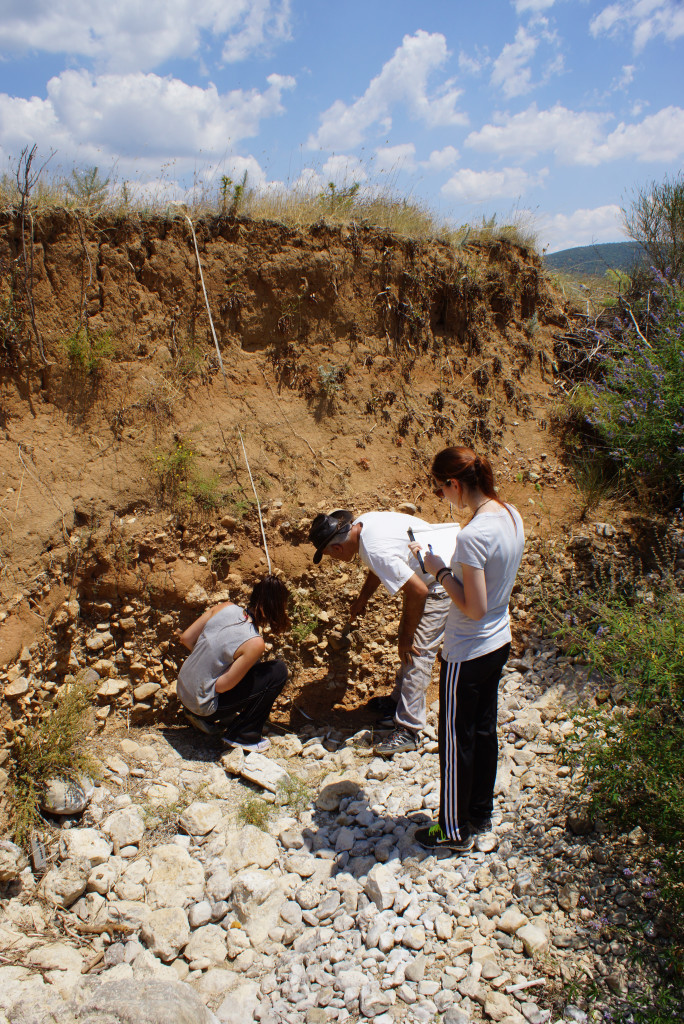
- Geologists in action
-
- Marc says goodbye to Area e
-
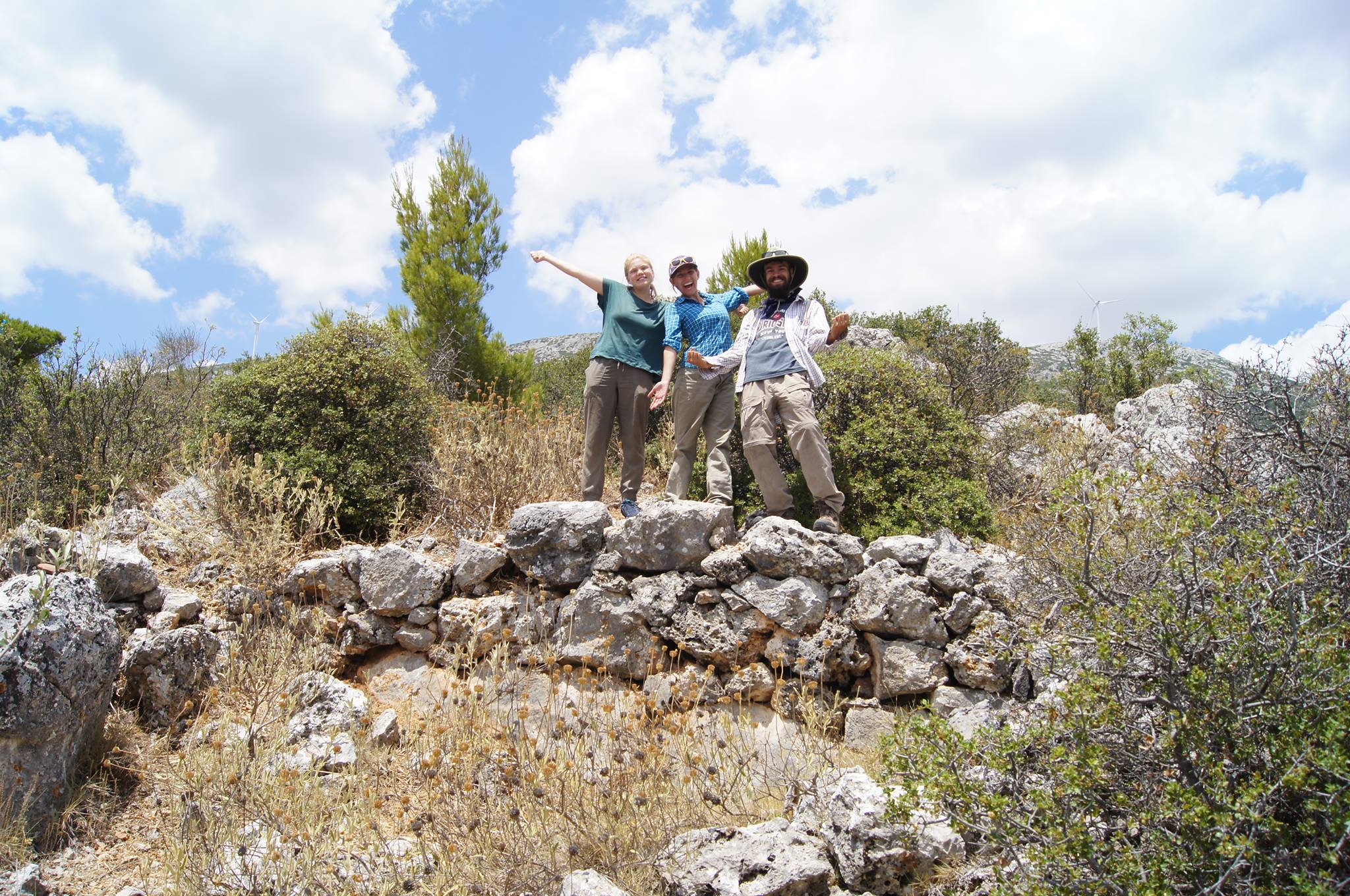
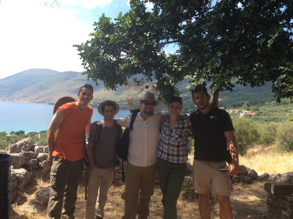
- Some old friends and new ones: Alex and Cheyenne reflect on the 2014 and 2015 field seasons
-
- A final group visit: Evgenia gives us a tour of the Fountain of Theagenes at Megara
-
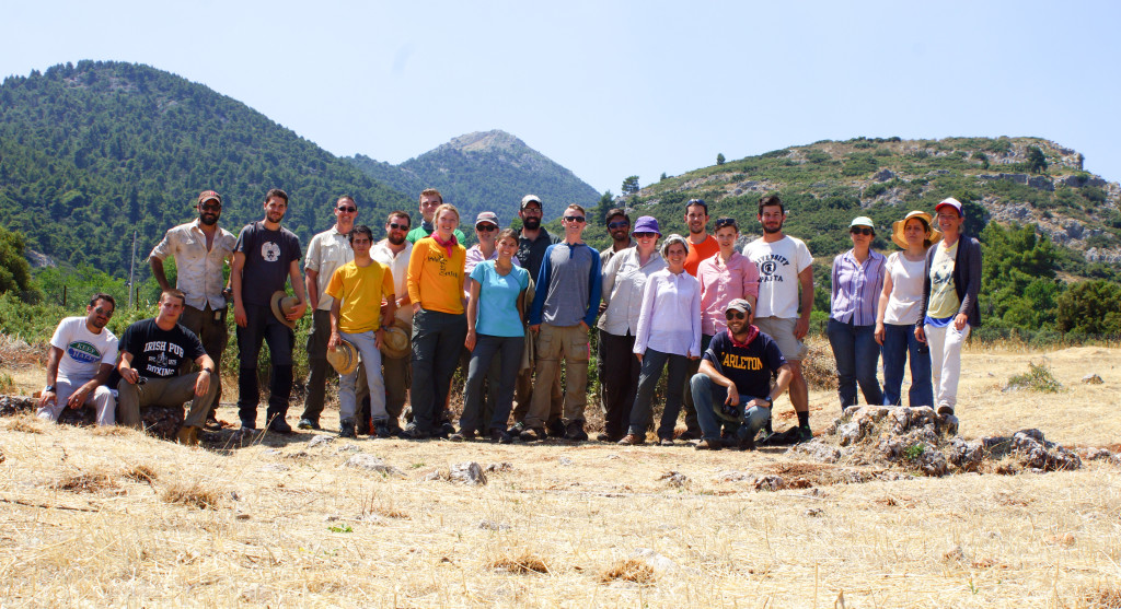
- MAP 2015 team photo: Thanks for a great season!
Photos from the 2014 Field Season
-
- The Mazi Plain from the fortress of Eleutherai, looking east
-
- The Mazi Tower
-
- Photographing the walls of Oinoe
-
- Looking down on the plain from the Monastery of Osios Meletios
-
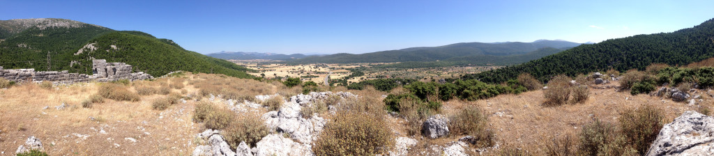
- View of the Mazi Plain from Panakton
-
- Day one at Eleutherai: “Welcome to MAP”
-
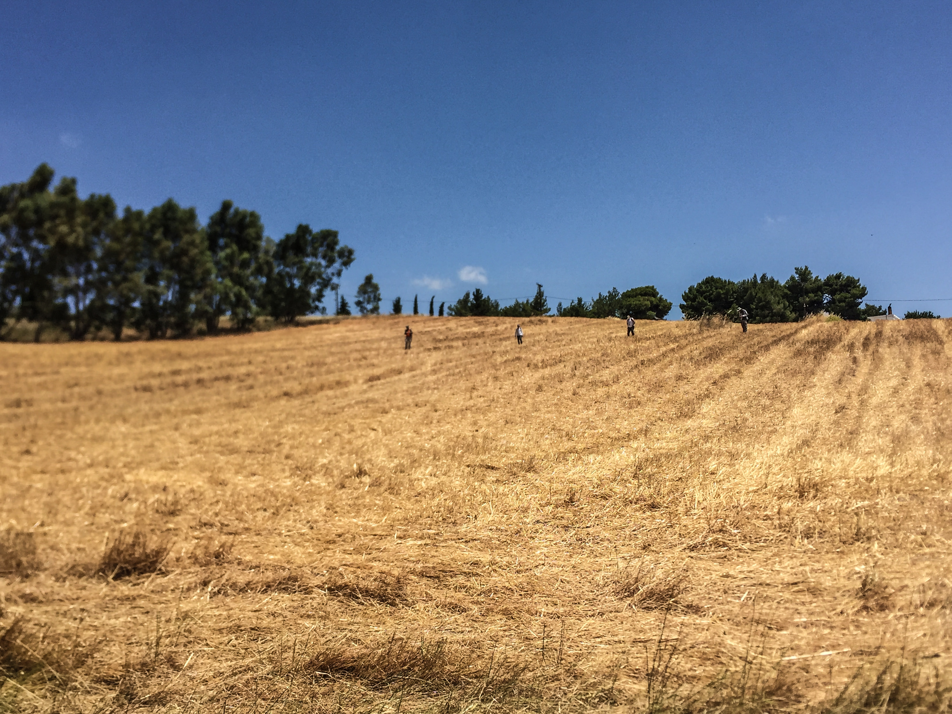
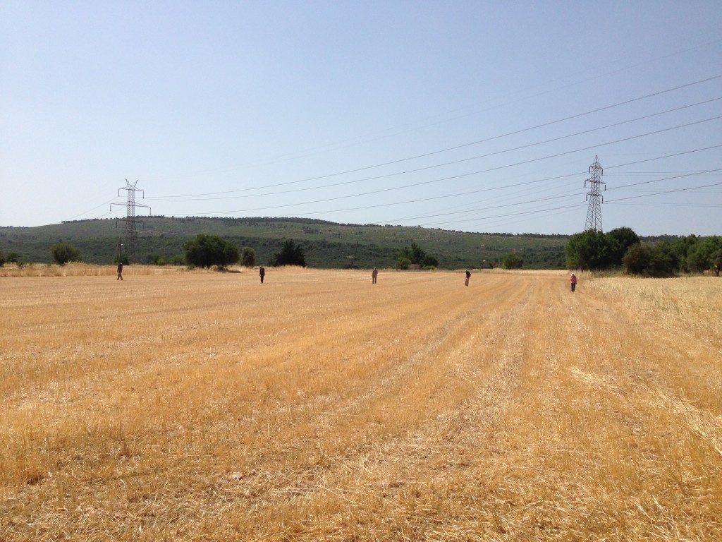
- Fieldwalking in the Mazi Plain
-
- Team visit to the Western Argolid Regional Project (WARP)
-
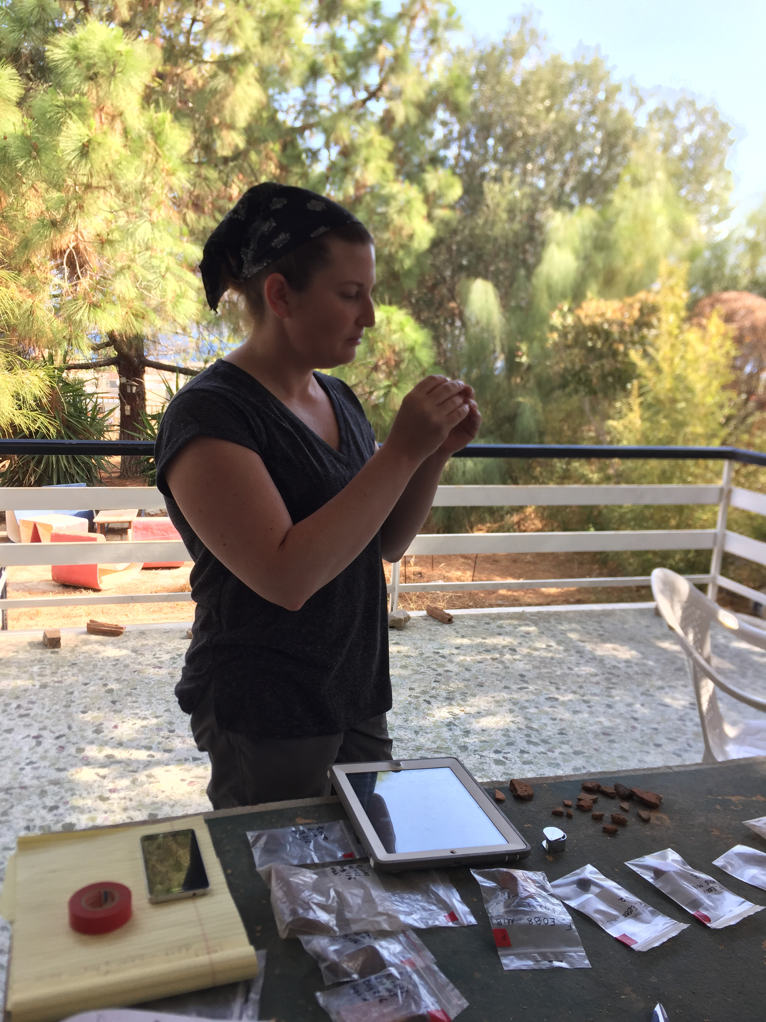
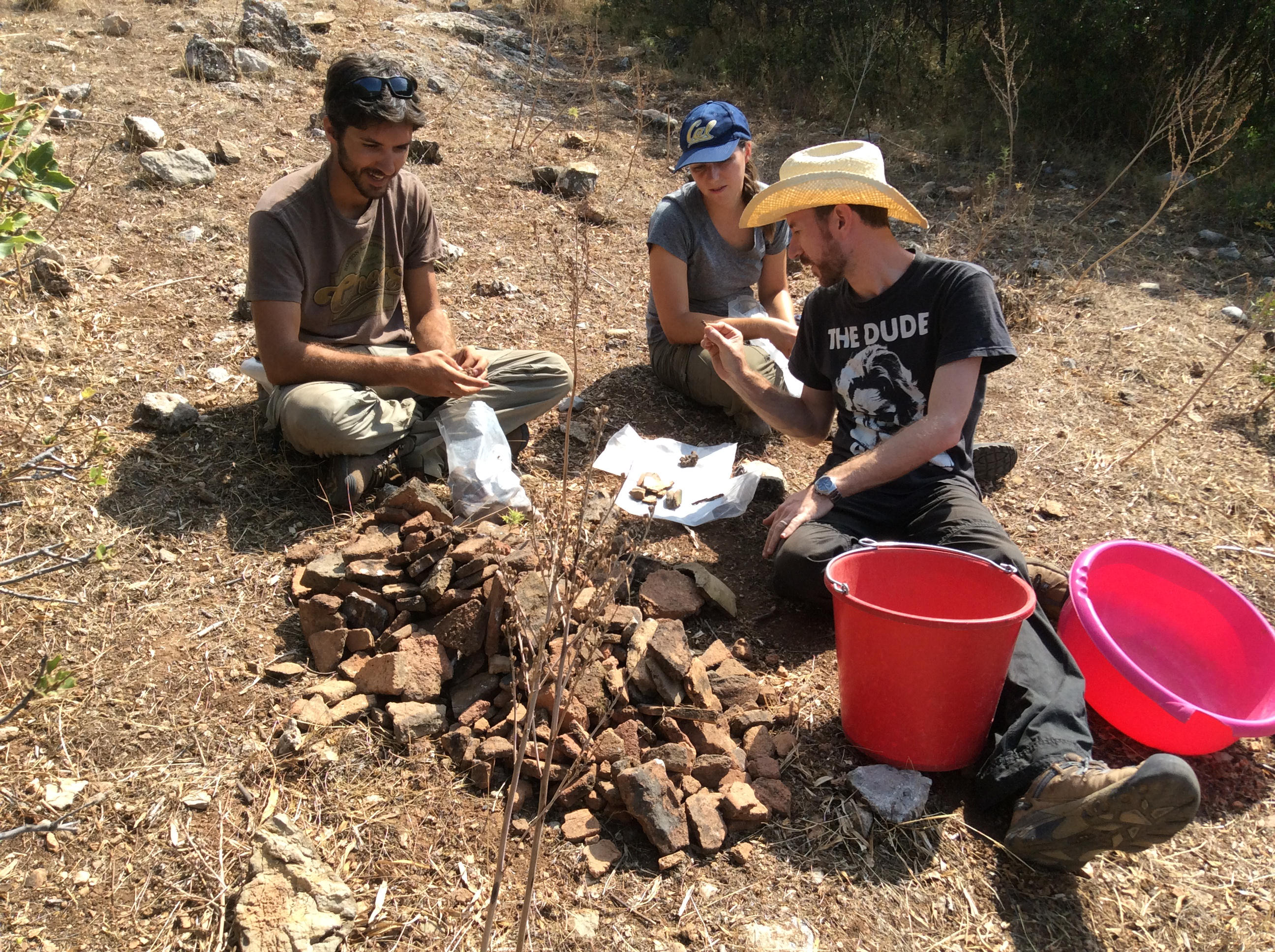
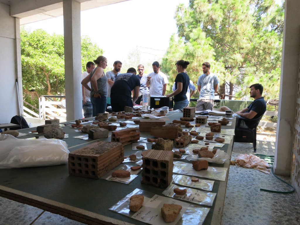
- Artifact photography and lithic analysis
-
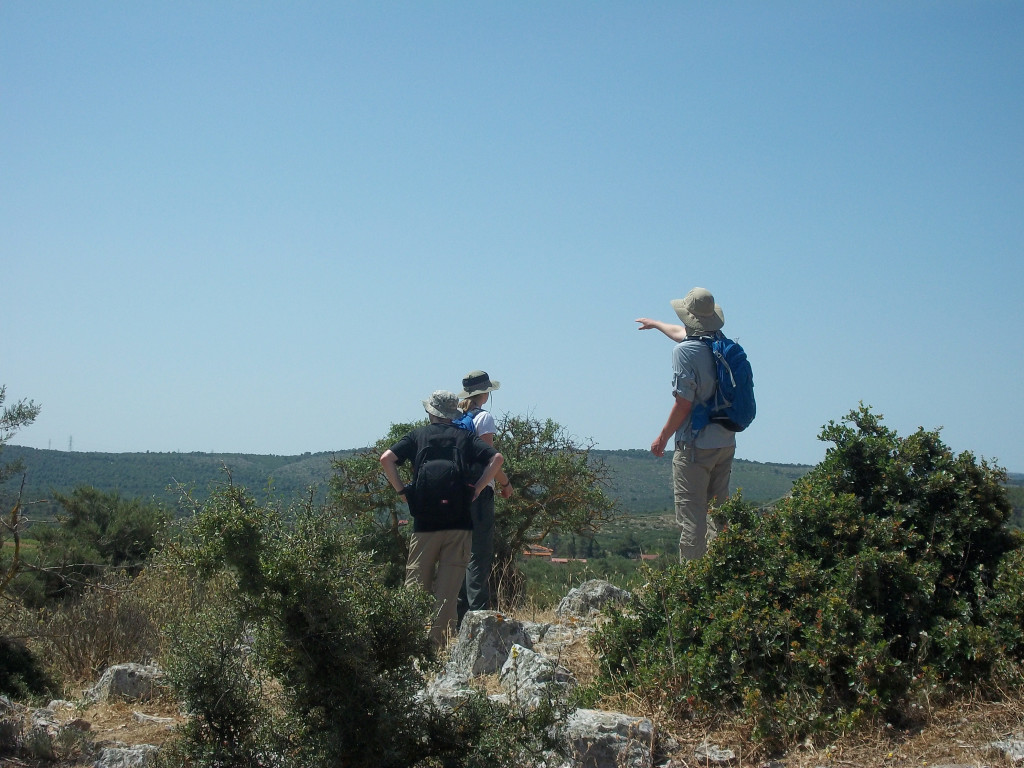
- Taking in the views at Panakton
-
- Last day of the 2014 field season: visit to Panakton, looking down toward the Bay of Eleusis